
July 14
Today I planned a hike in the morning, and to look around the Bear Lake/Moraine Park area, which I’d bypassed yesterday. After that, my plan was to drive up the scenic Old Fall River Road, a windy dirt road that climbs to the Alpine Visitor Center by a different route than RMNP’s main Trail Ridge Road.
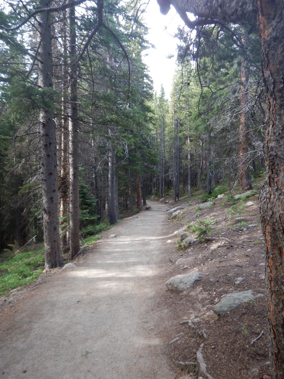
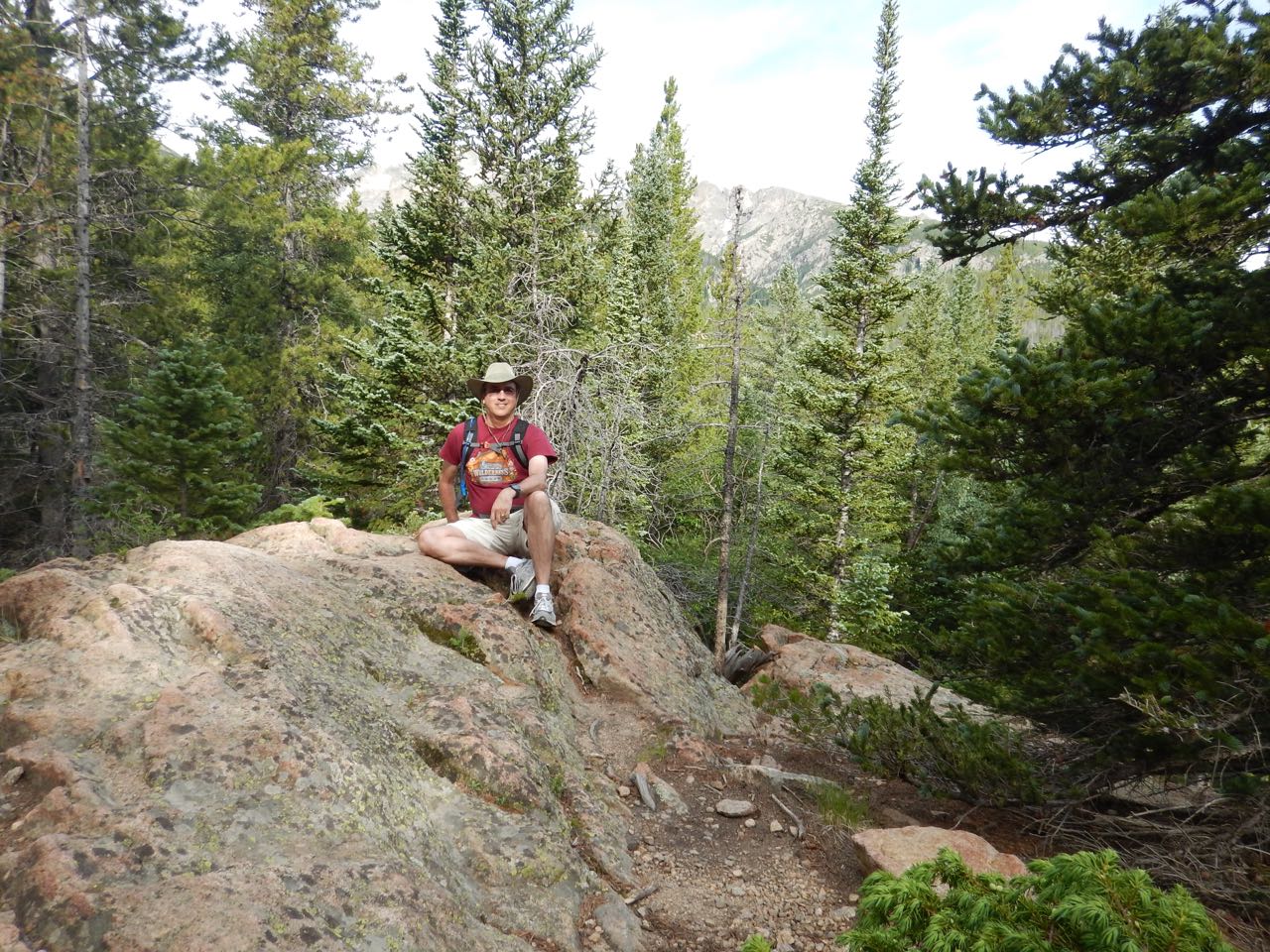
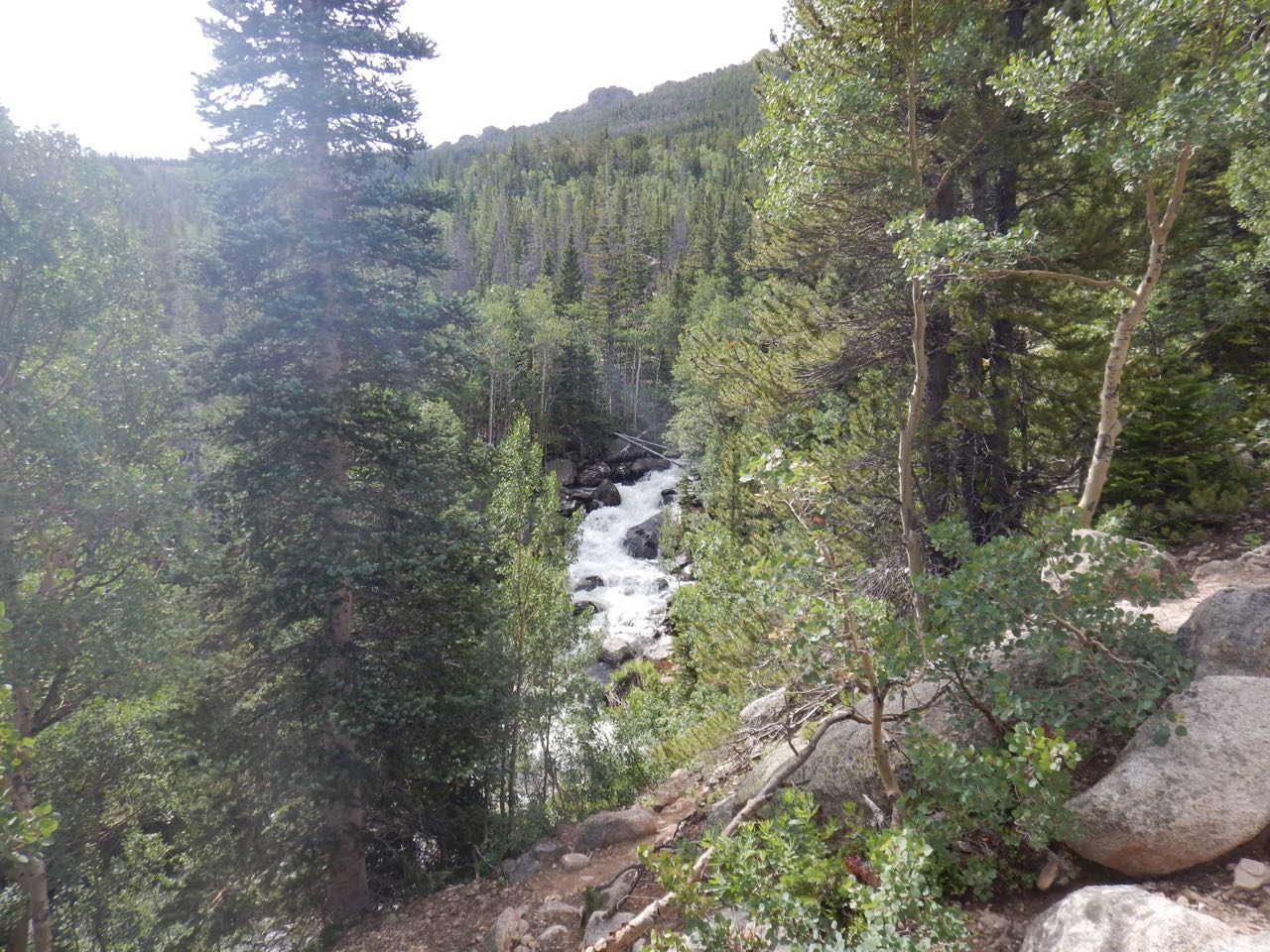
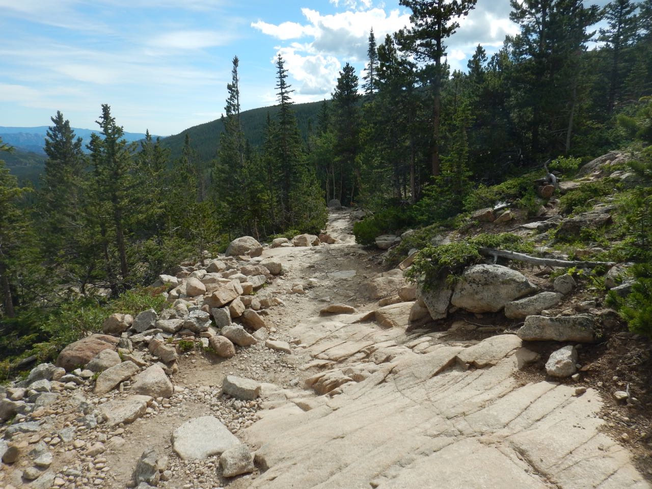
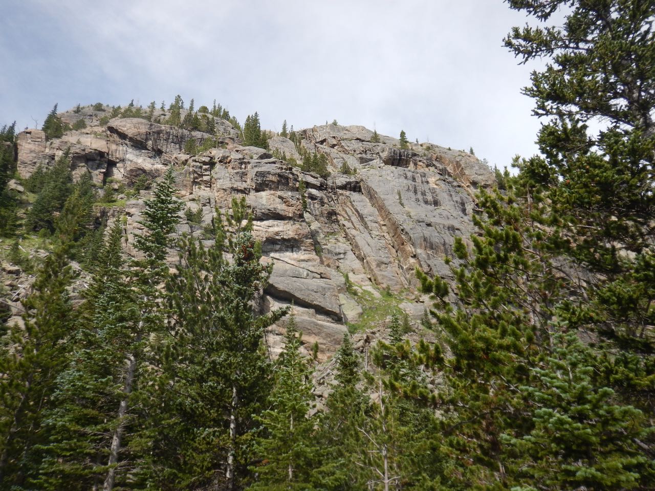
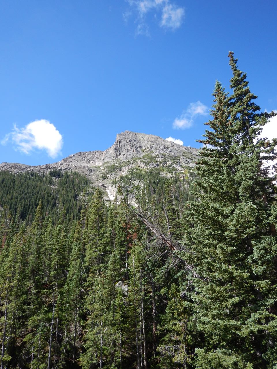
After reading various guidebooks and considering the options, I’d picked out a hike to “The Loch,” one of many glacier-fed lakes in the park. It’s a 3-mile hike to the Loch, with a 1000 foot elevation climb, and goes by Alberta Falls on the way. The trailhead leaves from the Bear Lake area, which is the most popular in the park. The guidebook advised me to make an early start or the parking at the trailhead would be full (the park service actually runs a park-and-ride shuttle bus in this park of RMNP, because it’s so crowded).
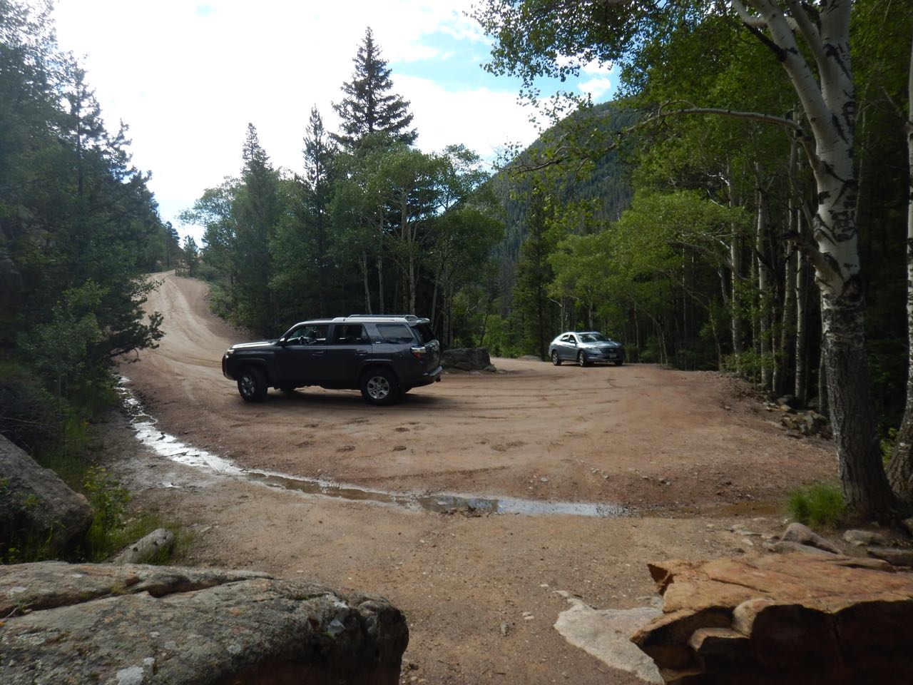
I made a 7 AM start, and by the time I reached the trailhead it was already crowded, but not completely full. I parked the TARDIS, put on my “camelback” backpack (with a 2-liter water bag) with a sandwich and a Coke for lunch inside, and set out for my 6 mile round trip hike. My hiking boots were still soaking wet from yesterday’s muddy encounter, so I went with my daily-wear tennis shoes instead.
 |
 |
 |
 |
 |
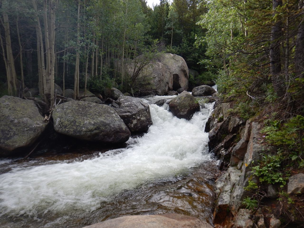 |
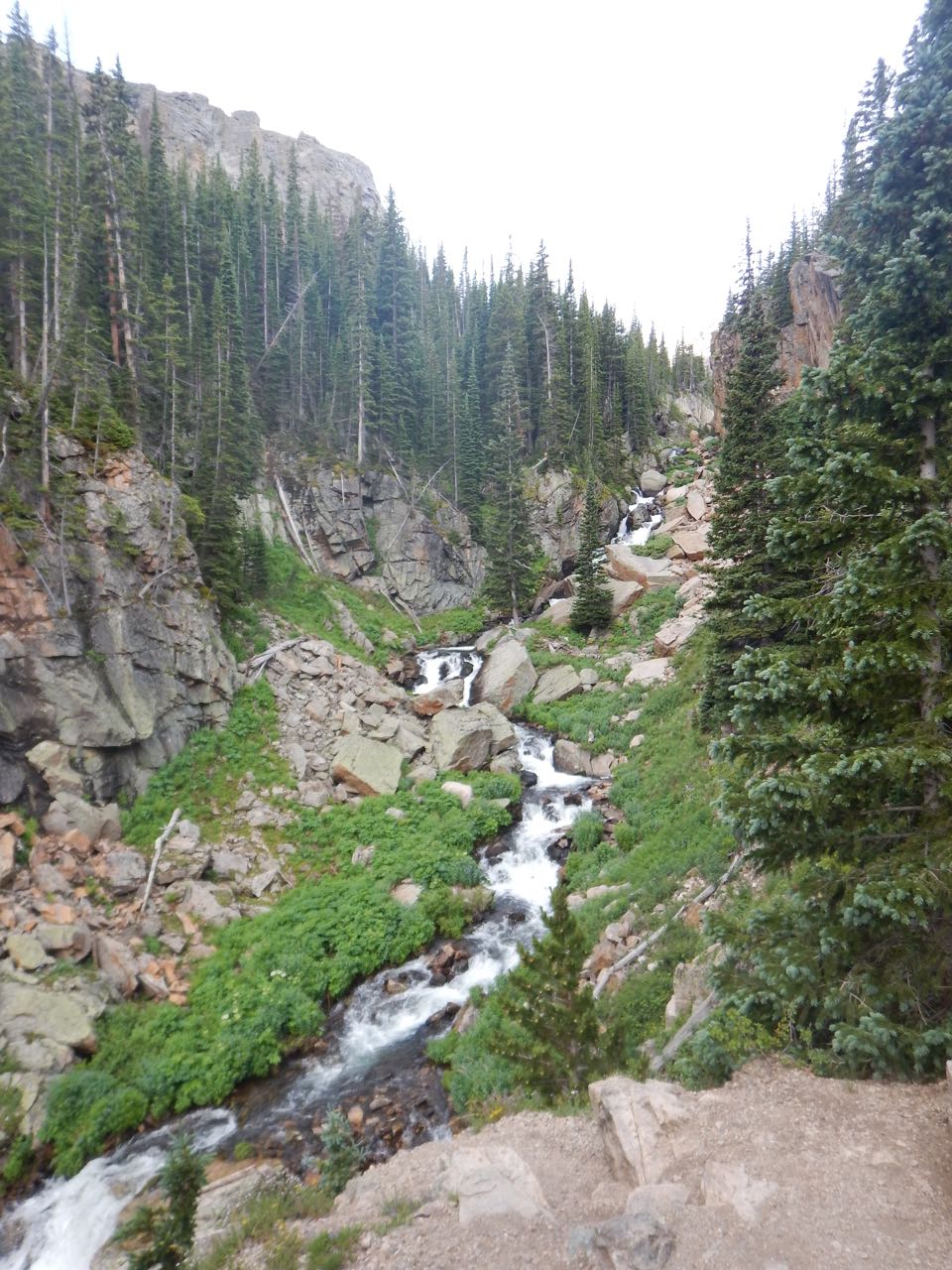
Alberta Falls
Alberta Falls was around a third of the way to the Loch. More hiking to do, but I’ll spare you all but the best pictures…
 |
 |
 |
 |
 |
 |
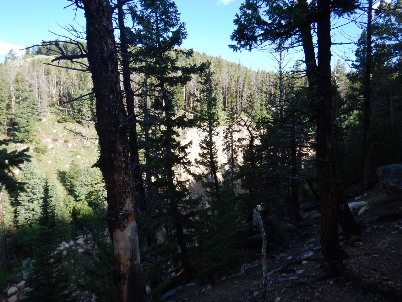
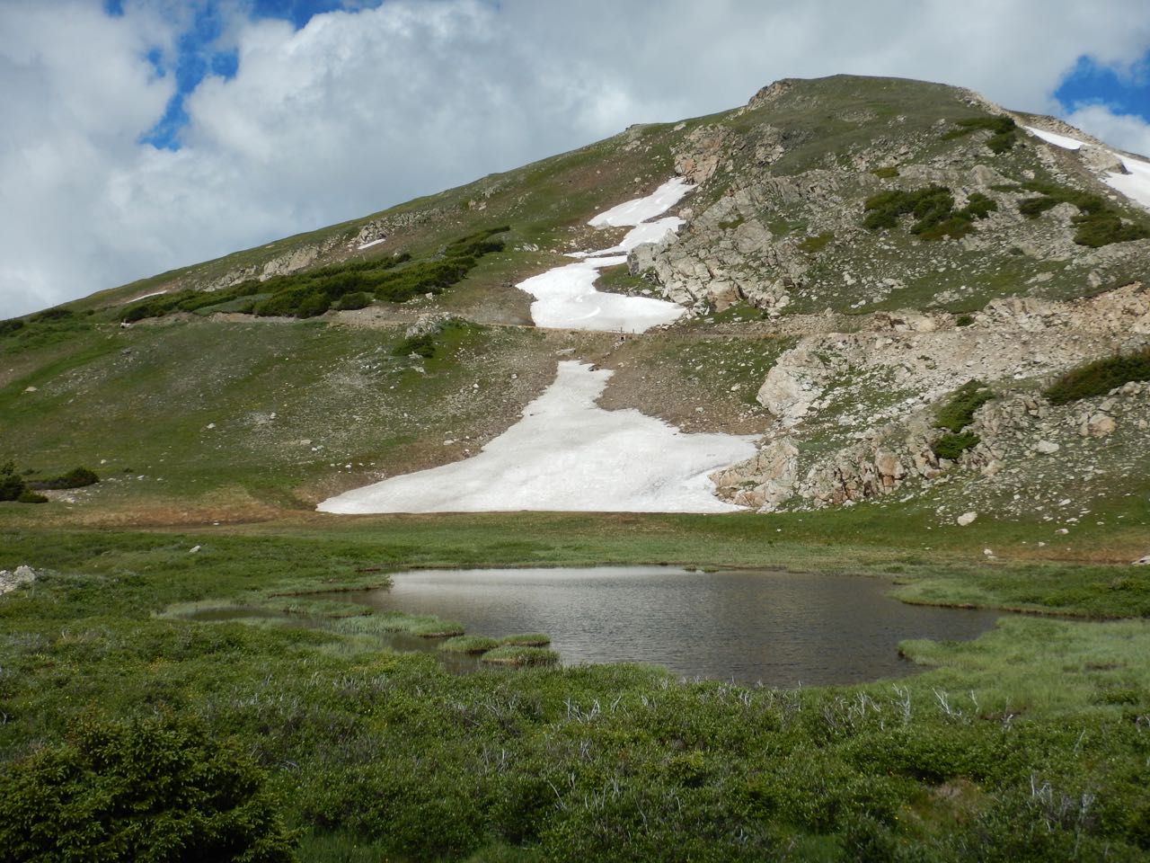
A snowbank across the trail is a surprise in July, the trail is still well below the treeline.

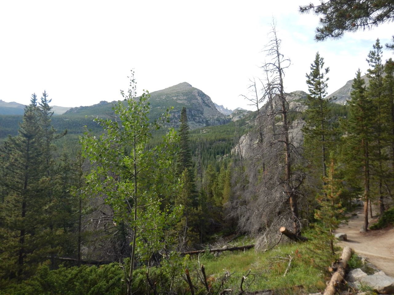
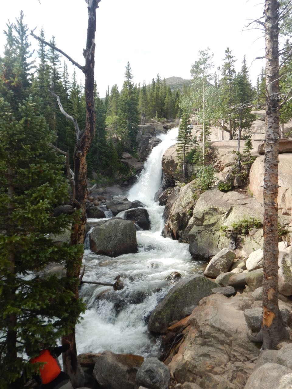
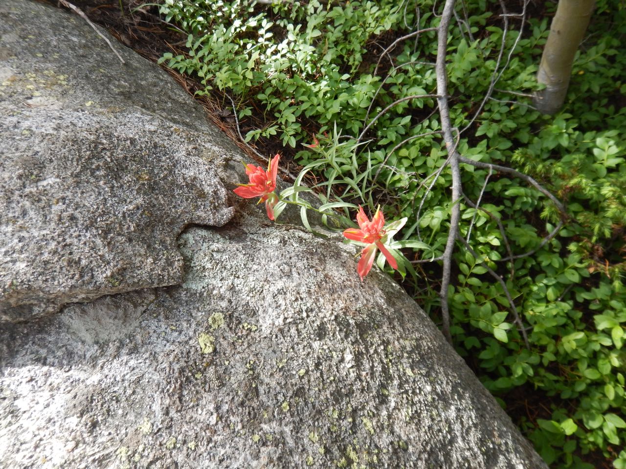
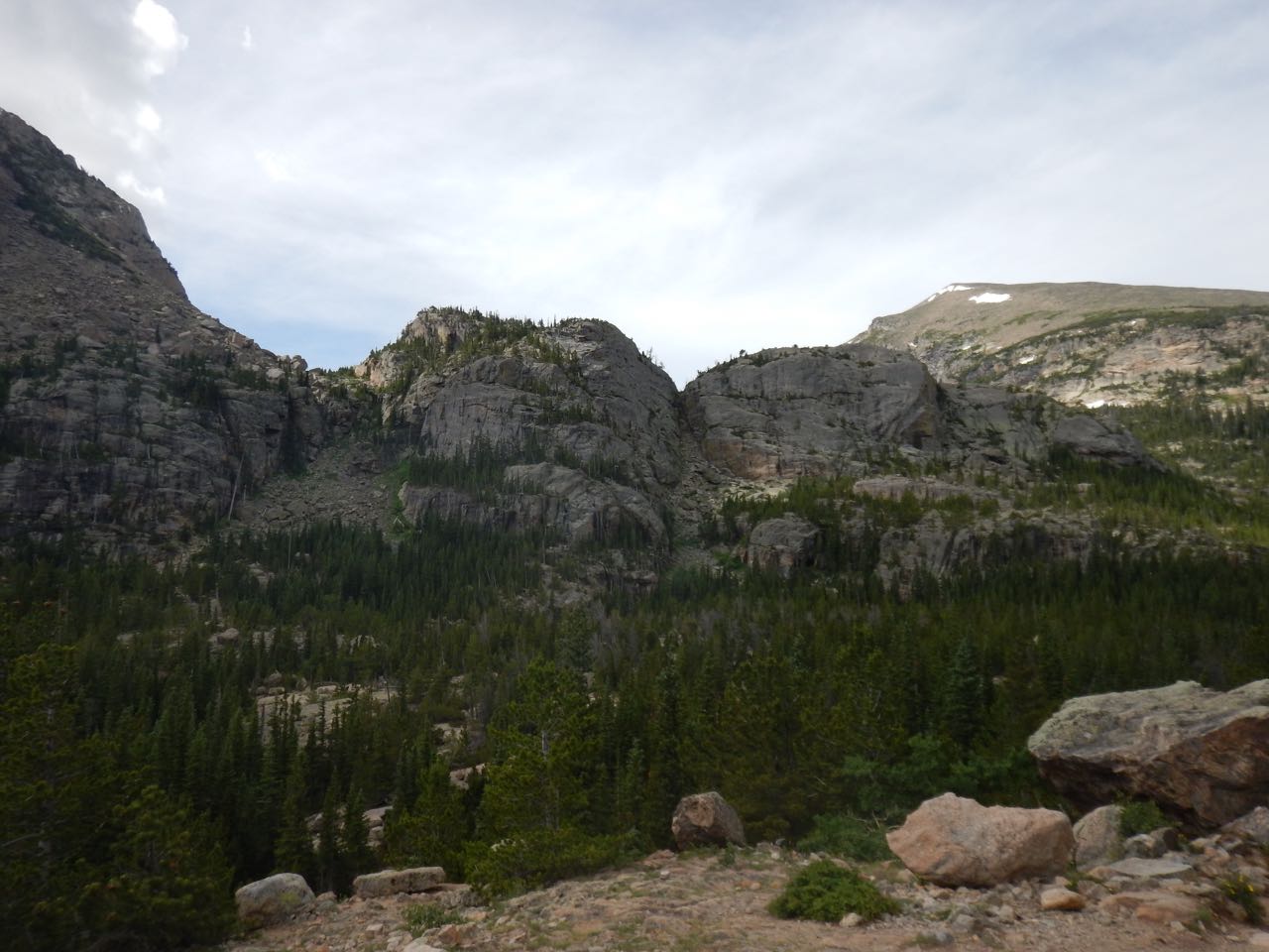
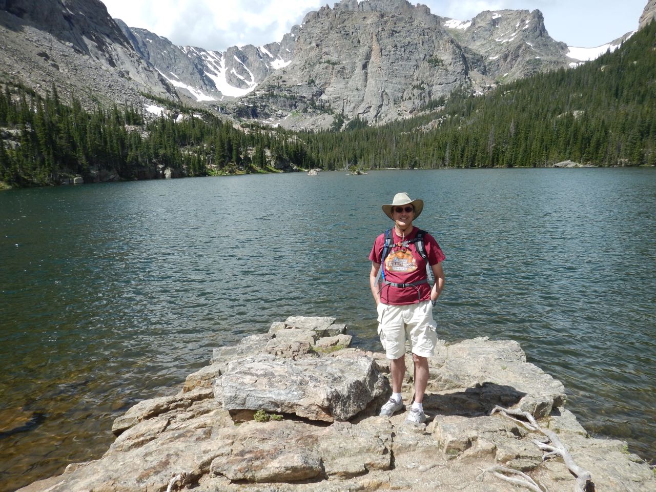
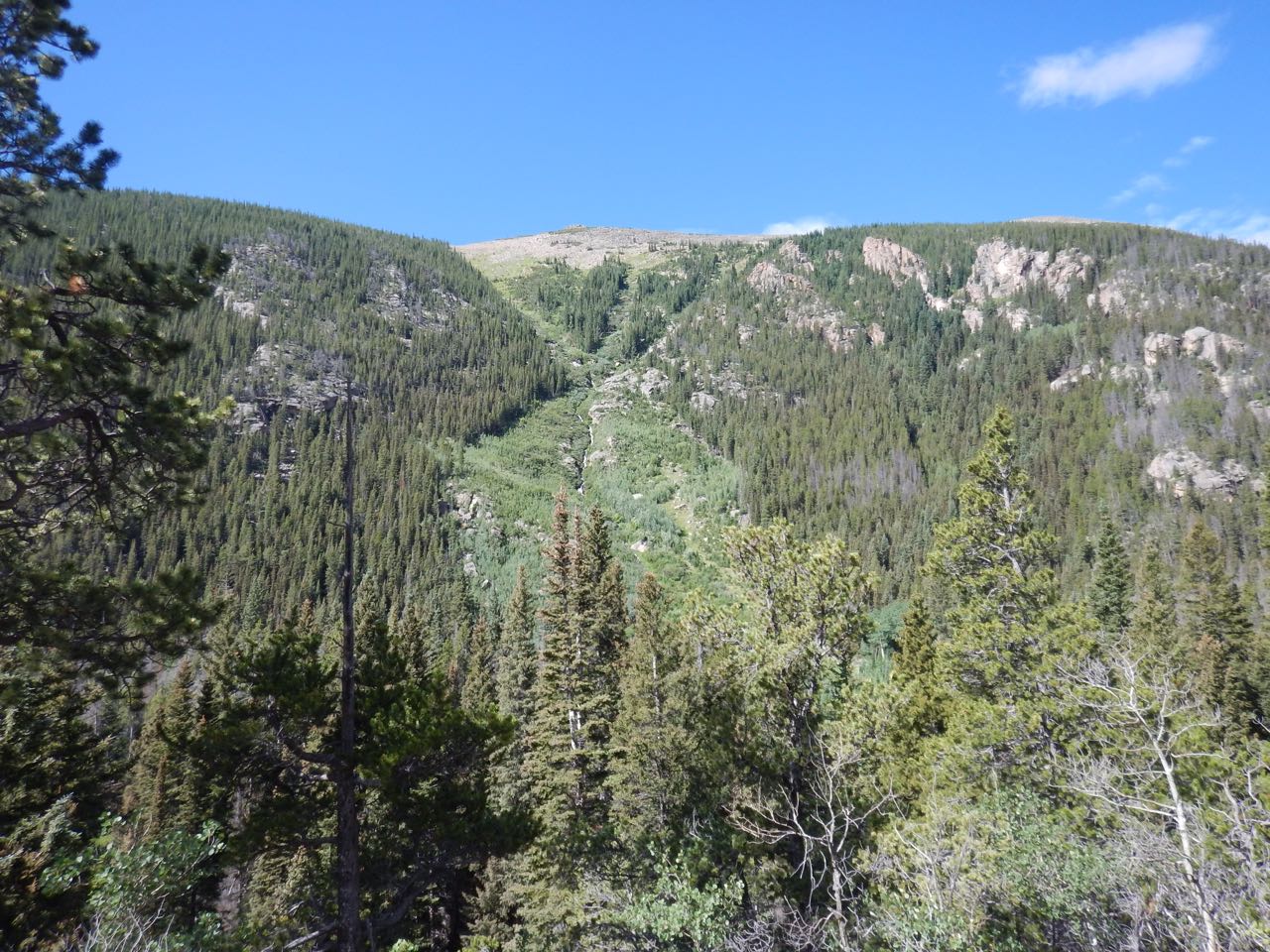
But after crossing it, I’m at my destination: The Loch.
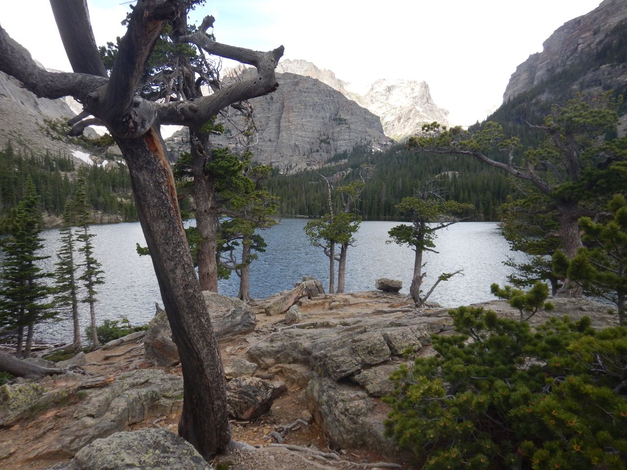
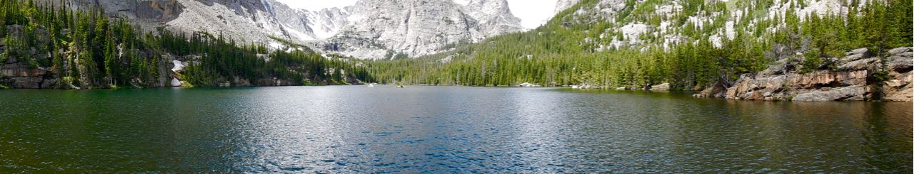
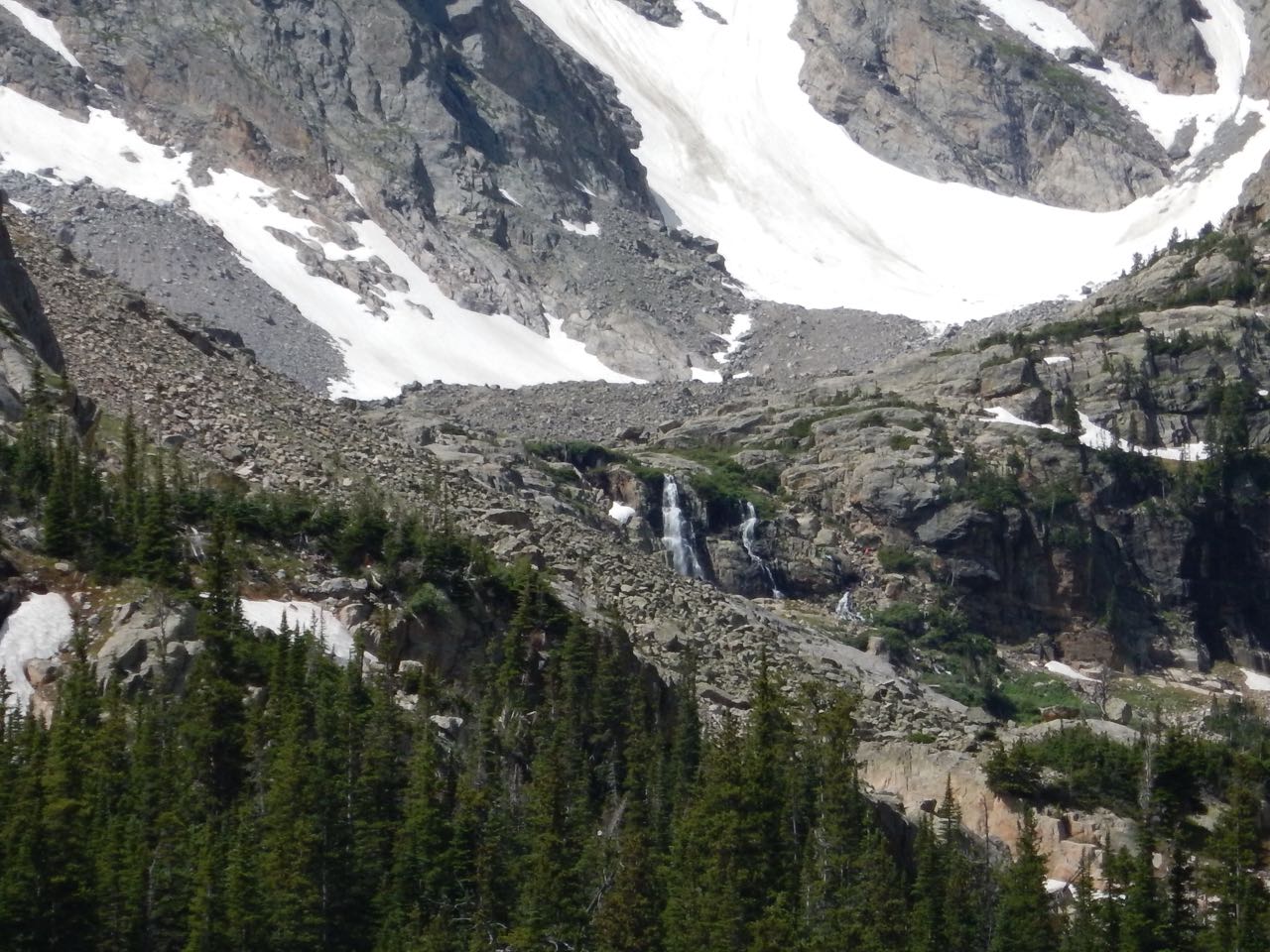
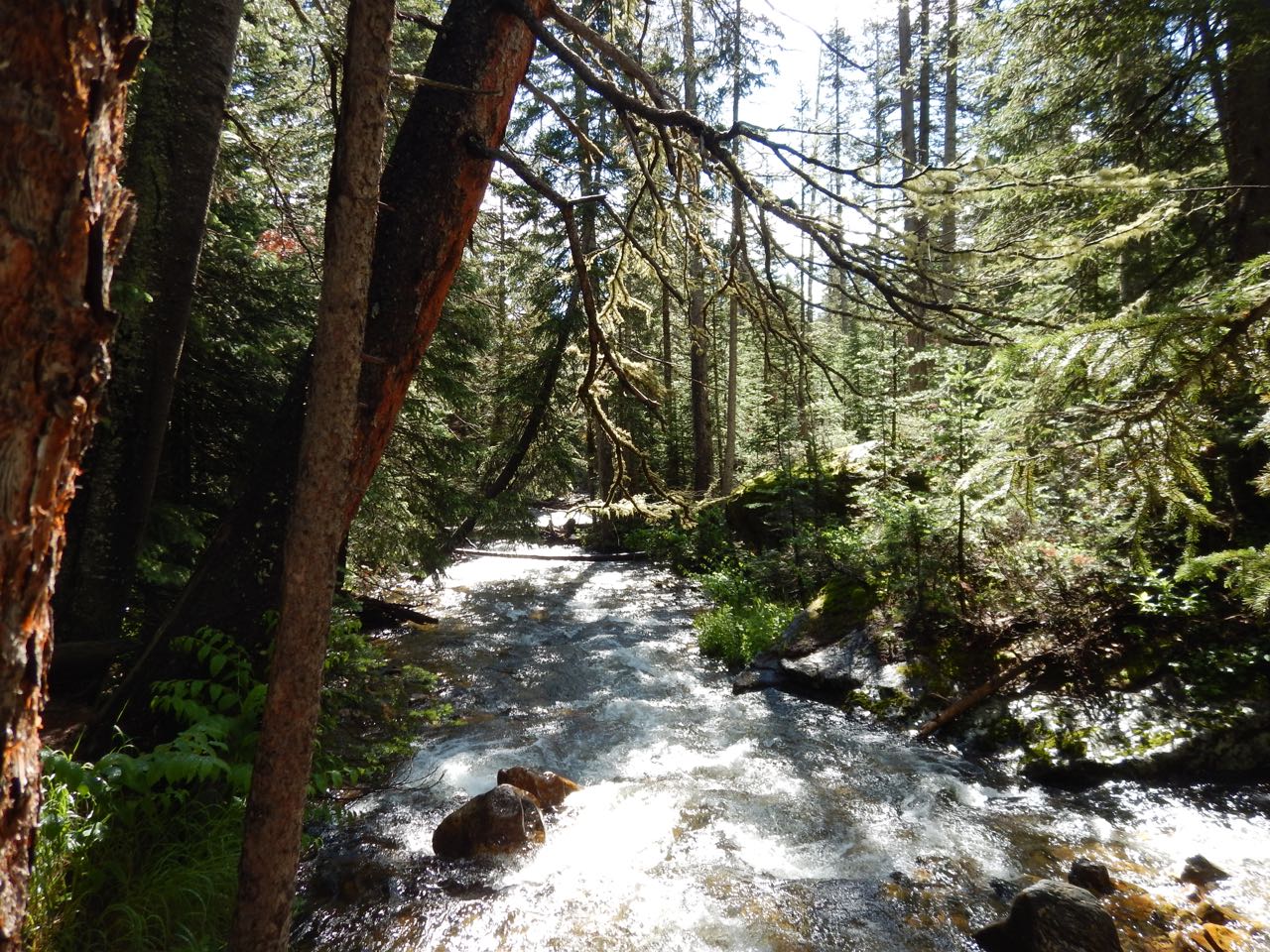
Across the water, you can see the stream that feeds The Loch from rain and snowmelt higher up.
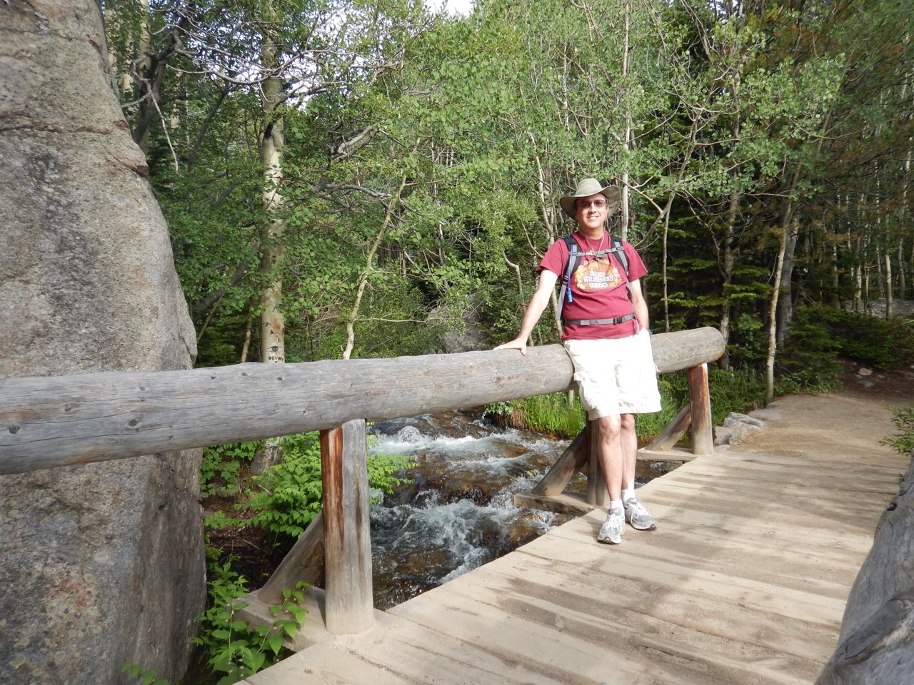
I settled down to my picnic lunch. There was a group all fly-fishing together off to one side, and then this happened:
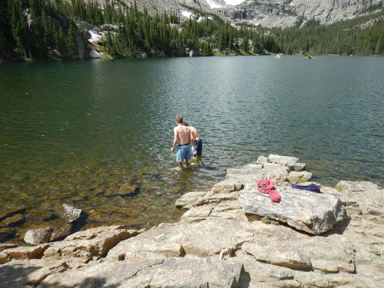 |
These were a pair of teenage guys— late high school age, I’m not sure if they were brothers or just friends— who kept daring each other to take a swim. The Loch is mostly fed by melting snow, meaning its water is right around 32 degrees, which can kill you in about half an hour. |
Eventually both guys took off shoes and shirts and went into the water. I had no worries that they’d actually stay in long enough to hurt themselves, and sure enough they both started yelling about how unpleasant it was the moment they stepped in. However, a dare is a dare and both of them actually ducked all the way under water before leaping back out again like they’d gotten electric shocks. Now their only worry is hypothermia on the rest of the hike… the woman they were with said they were going two miles further on before turning around.
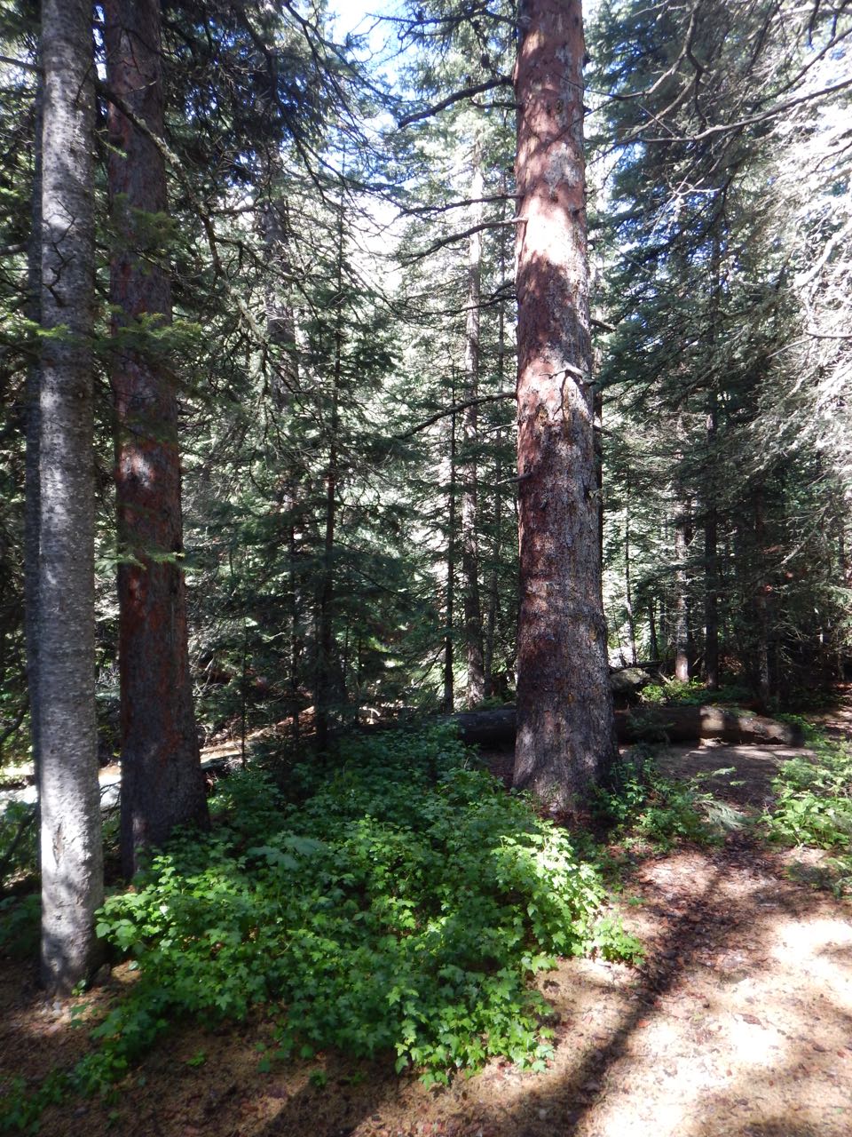
For me, it was time to turn around now, and I head back down the trail (the return 3 miles nicely easier than the outward hike, since they were all downhill).
As planned, I next took a look around the popular Bear Lake and Moraine Park areas.
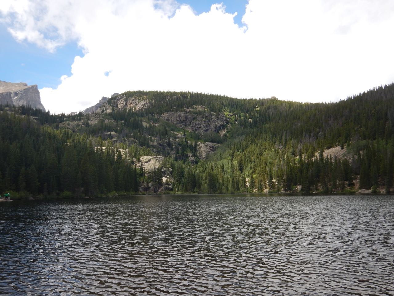 Bear Lake— lower in altitude than The Loch, and Rocky Mountain National Park’s most popular (and crowded) area. |
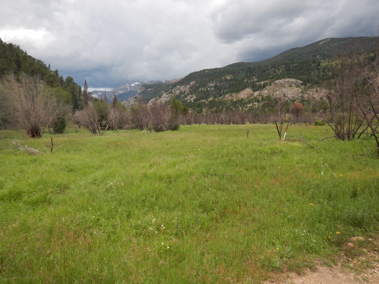
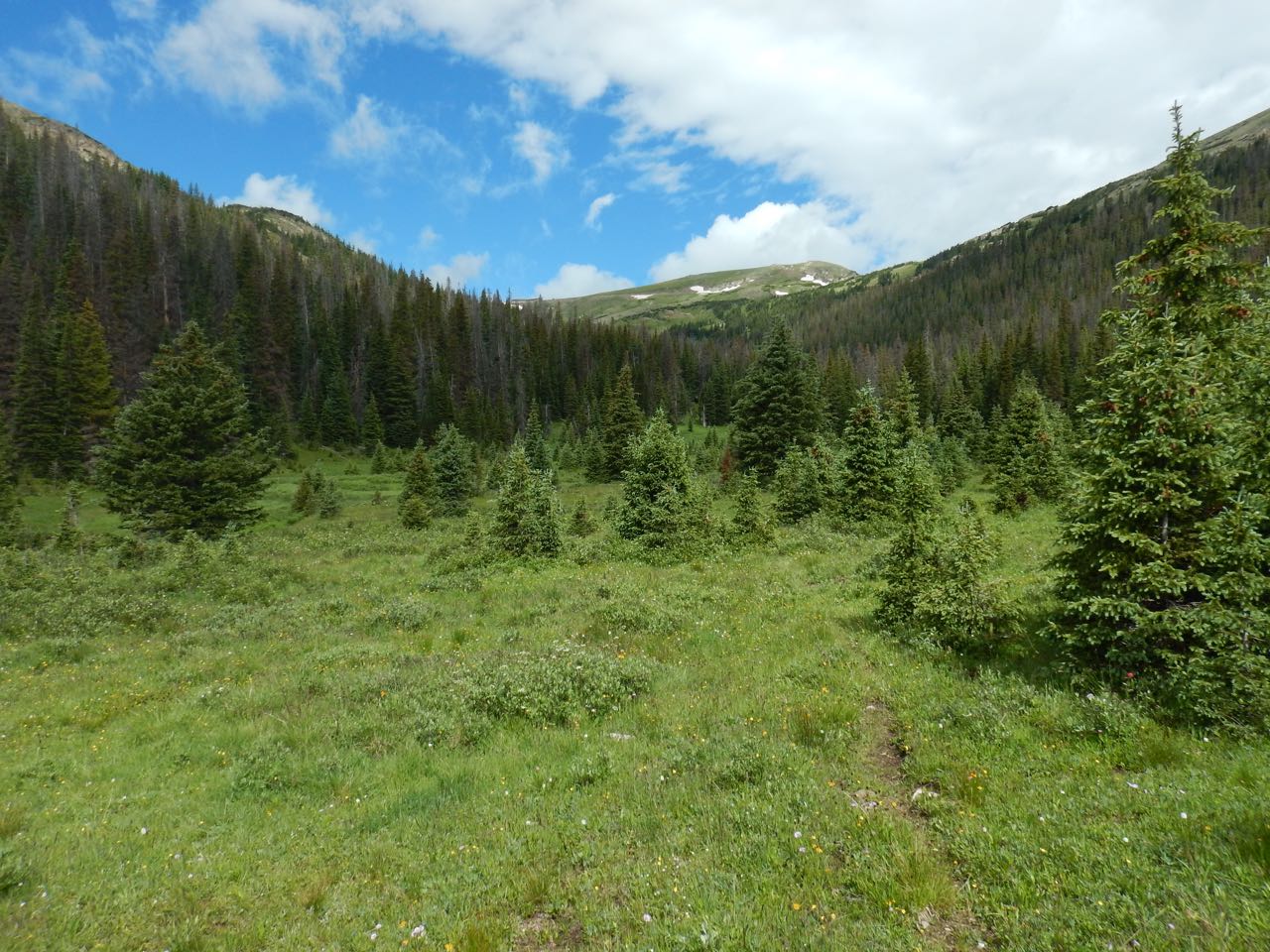
 Moraine Park, so named for the glacial moraine at borders it (behind the meadow in the picture). |
Moving glaciers pile up a mass of rocks and debris ahead of them. When the glacier begins to retreat, the rocks are left behind in a long ridge line called a glacial moraine. The side of the one bordering Moraine Park testifies to the size of the glaciers that carved much of the landscape of RMNP during the last Ice Age.
Like the Holzwarth Ranch I mentioned in the last post, Moraine Park was once home to a private business catering to area tourists: in this case, someone built a golf course in the meadow, which operated in the 50s and 60s. It eventually went out of business and the Park Service bought the land, adding it to the National Park. There’s a lot of area to RMNP added that way, a lot of it (judging by the info displays) added in the 70s or later. The impression I get from the various different area is that the Dude Ranch business finally disappeared in the late 60s, and many of the owners sold the land to the park in the decades after.
More of Moraine Park:
 |
 |
 |
 |
As I was looking around Moraine Park, thunderclouds started to roll in.
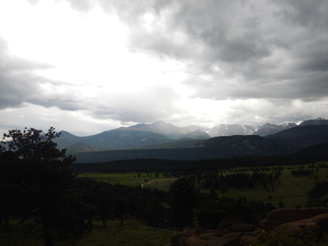 Soon it was pouring rain. This pretty much ended my plans to drive up Old Fall Road: curtains of rain would have hidden all the scenic spots. I’d have to put that off until tomorrow. Calling it an early afternoon, I spent some time in downtown Estes Park instead. I bought a fossil dinosaur tooth from a rock shop (Spinosaurus, an alligator-jawed carnivore of the Cretaceous period that was larger and probably more dangerous than the more famous T-rex).
July 15
Today’s plan: a 3-mile (round trip) hike to an overlook of the Roaring River and the canyon it carved in the Lawn Lake flood (see previous post). Then the drive up Old Fall River Road that I missed yesterday, and finally another 6-mile round trip hike, to Bridal Veil Falls.
I got another early start. It was a distinctly cold morning so I went with jeans (not the muddy ones) instead of shorts. That turned out fine for the morning hike, but the afternoon turned decidedly warm and I somewhat regretted the decision.
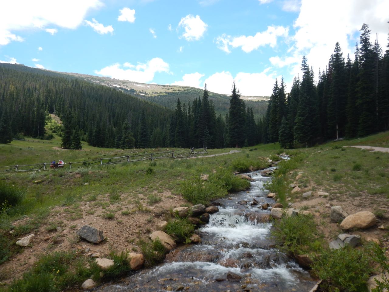
But first, the Roaring River hike:
 |
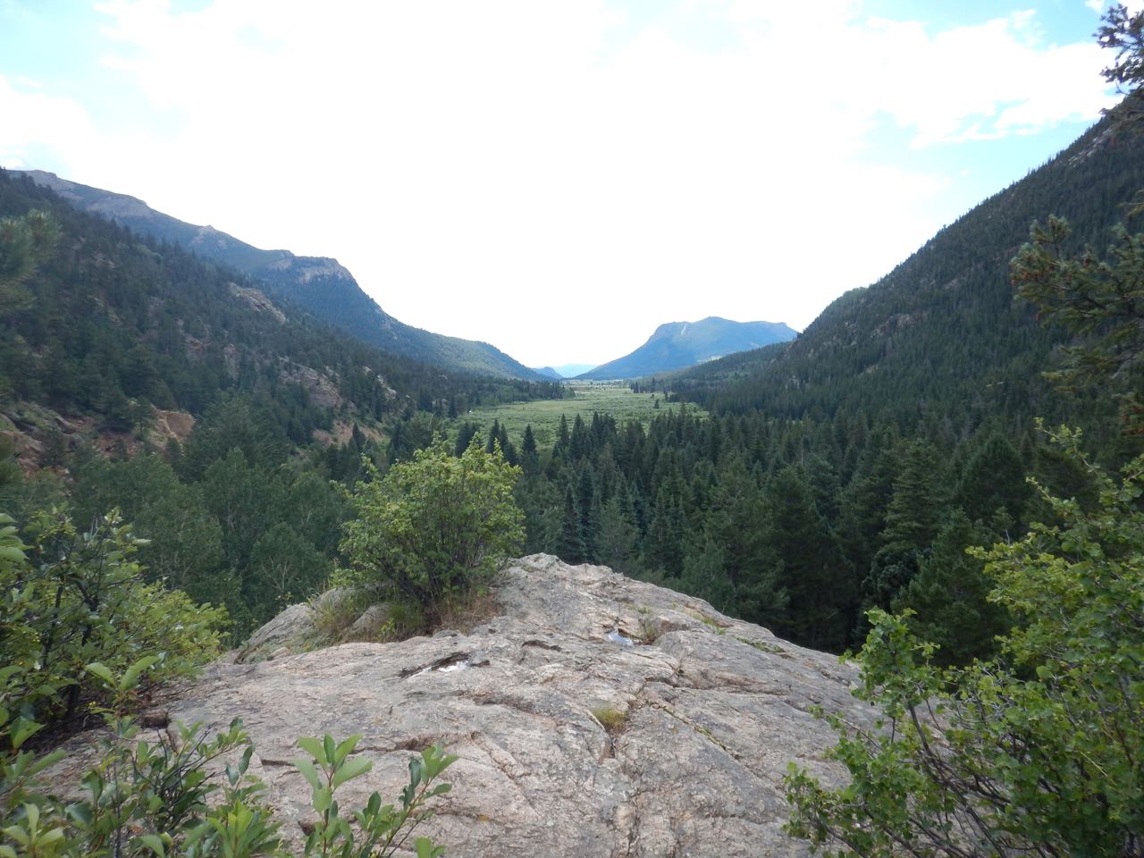
The trail was still in the shade of the mountains when I started, while Horseshoe Park below was already in sunlight. |
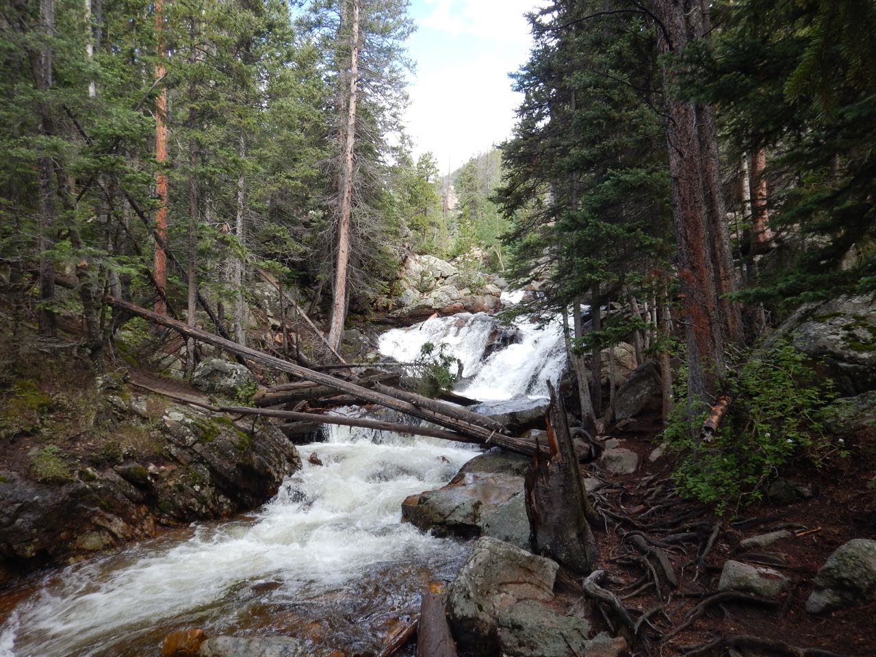
| Roaring River and its canyon comes into view. | 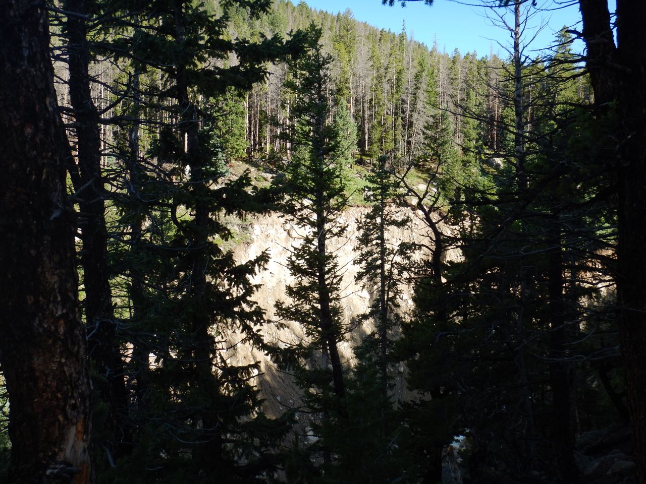 |
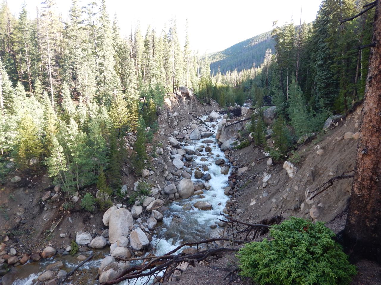 It looks like the flood could have happened yesterday. Trees and plants really haven’t started to cover the scar yet. It looks like the flood could have happened yesterday. Trees and plants really haven’t started to cover the scar yet. |
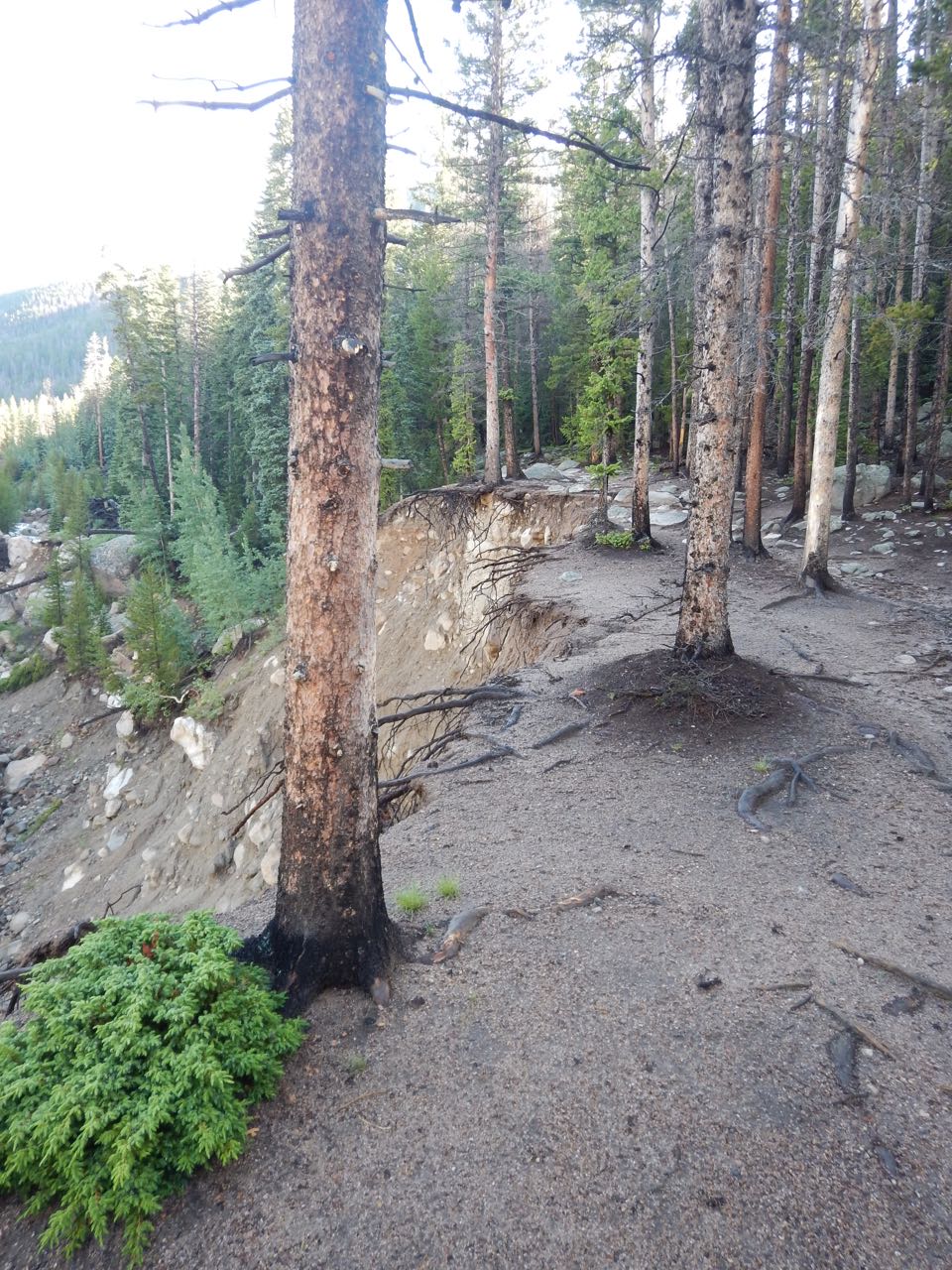 |
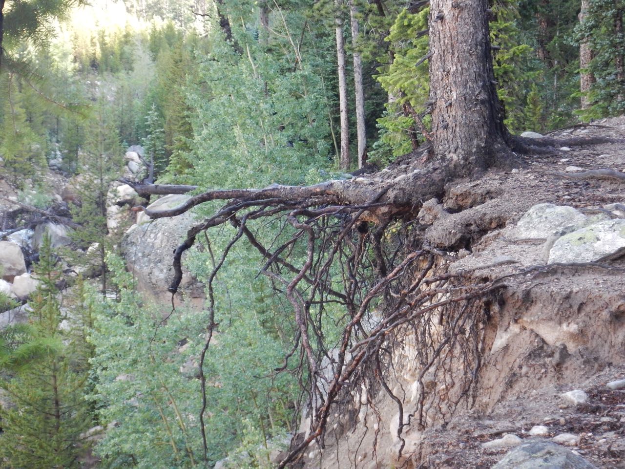
33 years later, half this tree’s roots are really hanging on.
The hiking trail continued on beside the canyon up to Lawn Lake itself, where the ruined dam can still be seen. But that would be a 12 mile round trip hike, and more than I was looking for. After seeing the river overlook, I head back down and on to the drive up Old Fall River Road.
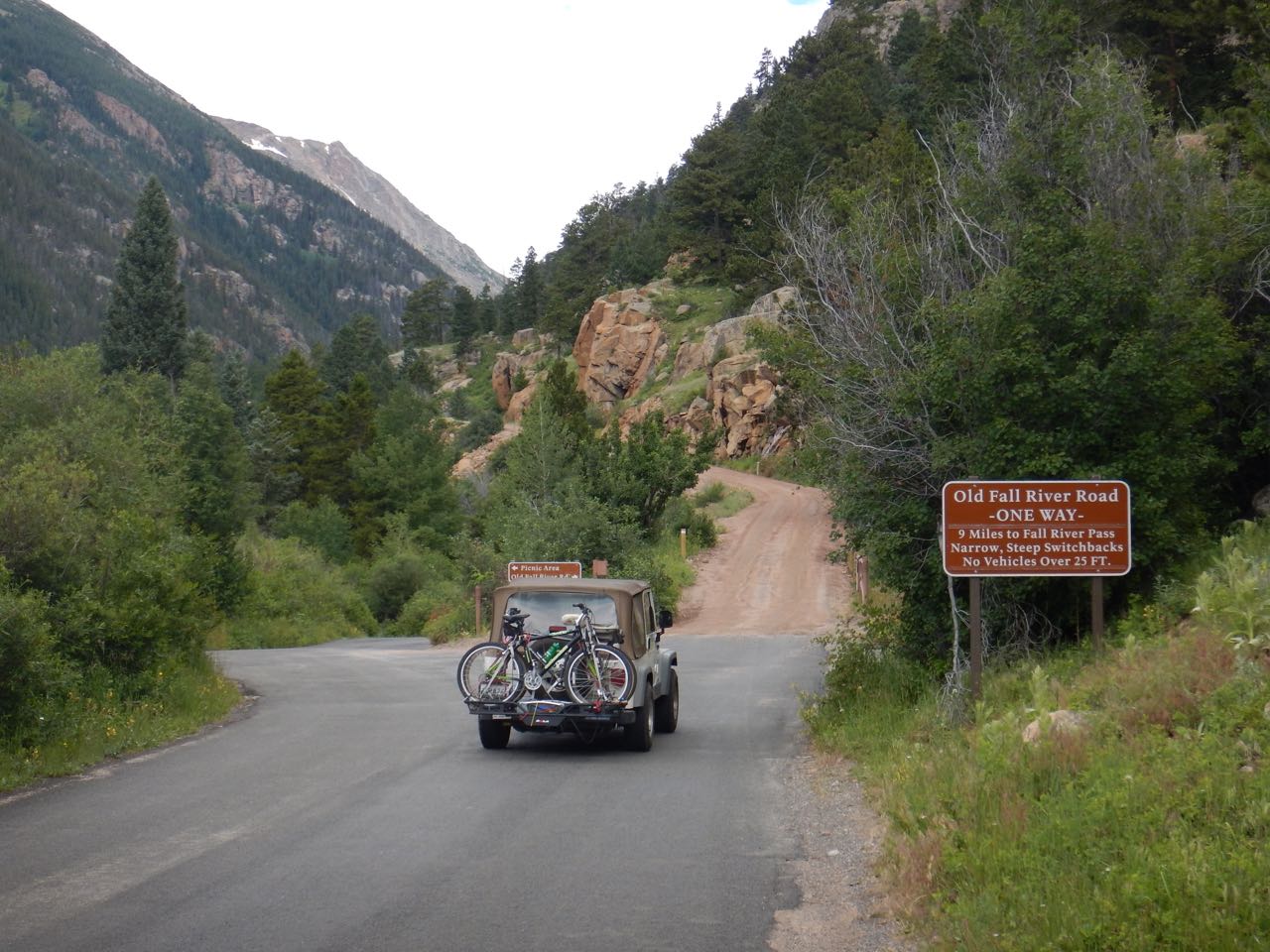
Here’s some of what I saw on that drive:
 |
 |
 |
 |
 |
 |
 |
 |
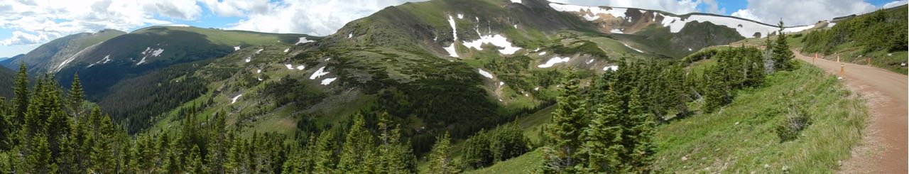
The road eventualy climbed above the treeline into the tundra, which I posted pictures of yesterday, although this bit was new:
I had lunch atop the mountains at the Alpine Visitor Center, then drove back down Trail Ridge Road on my way to may planned afternoon hike. On the way, I paused for an interesting surprise.
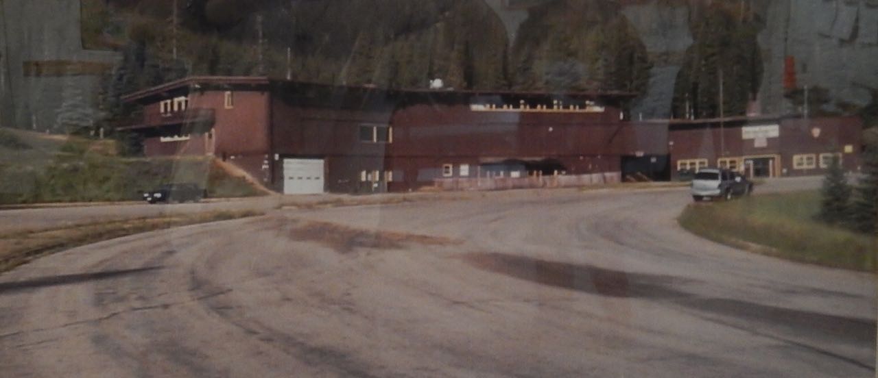 |
The last time I was in RMNP was 1997, and at one point on that trip I was looking for a bathroom and turned down a side road not shown on my park map. It had a sign saying “Hidden Valley” on it, and when I drove in I saw this large, abandoned building. It seemed completely out of character for National Park structures, but at the time I didn’t find out anything about it. |
Curious to learn more, when I saw the “Hidden Valley” sign again, I turned in. The building I saw in 1997 was gone (the above picture is from an information display at the site) and in its place was this:
It’s a large picnic ground with a walking trail running around it. To one side (I didn’t get a picture) was a small ranger station offering educational activites for kids in the “Junior Rangers” program. From the displays, I learned the story:
In the 1880s, the area known as Hidden Valley was logged, and local residents started using the clearcut slope as a ski slope in the winter. In the 1930s, the Hidden Valley Ski Lodge was built at the foot of the hill, with a single chairlift running up the slope. The ski lodge operated successfully for decades, but in the 1980s weather patterns changed and Hidden Valley started to get less snow. By the early 90s even snow machines couldn’t manage to cover the slope, and it went out of business in 1992. As with the Dude Ranches a couple of decades earlier, the National Park acquired the land. At the time of my 1997 visit, they’d done nothing with it, and the shuttered ski lodge was the building I saw. In 1999 to 2003, the building was demolished and the materials recycled to build other structures in the park (including an entirely new Alpine Visitor Center). The chairlift was removed and the natural stream, which had been buried in a culvert since the ski resort opened, was allowed to return to its natural banks. It will take decades for trees to recolonize the open slope, but in the meantime the picnic area uses the space, and information displays around the area tell the story.
So, that was just a detour to satisfy a lingering curiosity I had from my last visit. On to my afternoon hike, a little longer than yesterday’s with a round trip distance of 6.4 miles to Bridal Veil Falls.
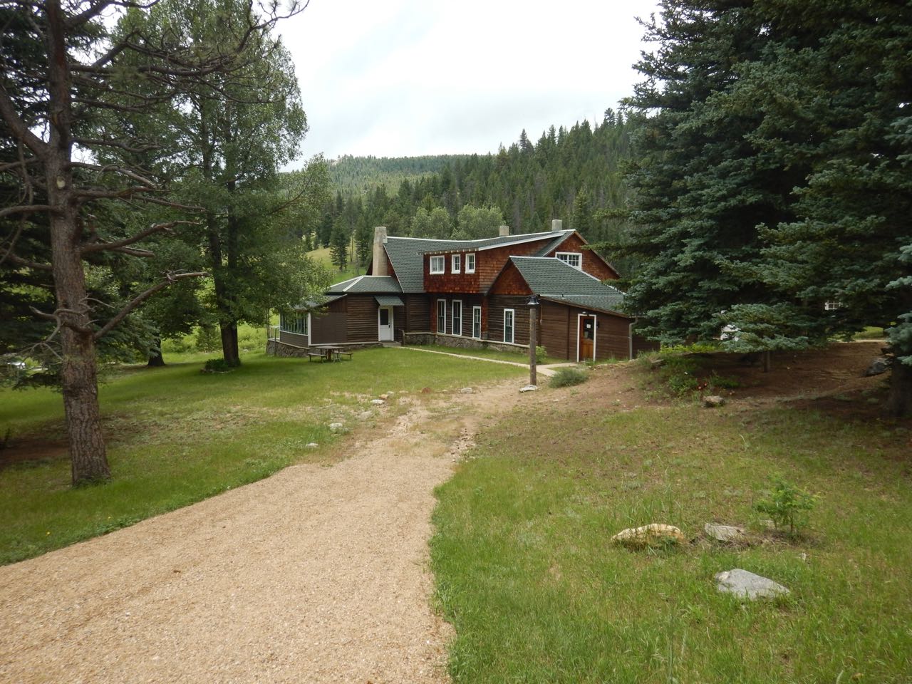 |
The hike started at the McGraw Ranch, another Dude Ranch bought by the National Park after it went out of business. Here, instead of either removing the buildings or keeping them as a historical exhibit like the Holzwarth ranch, the buildings were converted to housing for researchers working in the park. |
| For much of its length, the trail to Bridal Veil falls crossed open meadows. The afternoon had grown warm— in the mid 70s, which was nice for people standing still but I soon regretted my morning decision of jeans instead of shorts. | 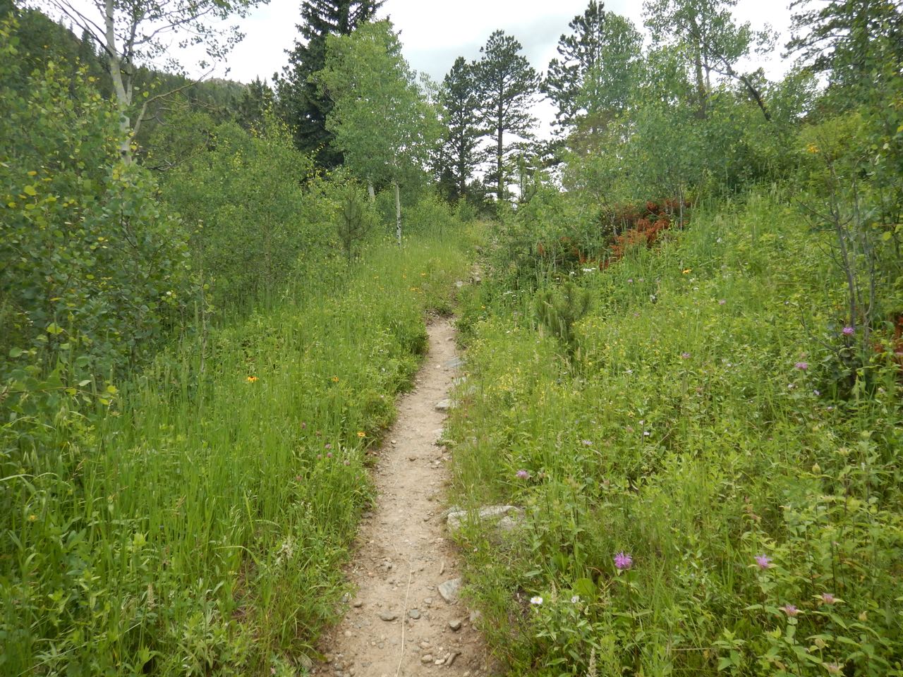 |
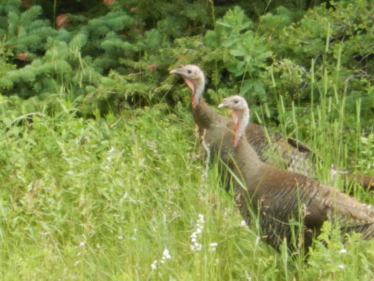 |
Along the way I spotted a pair of wild turkeys leading a family of chicks. Unfortunately, the chicks don’t show up in any of the pictures I got— but they were there. |
| Eventually the trail left the meadows and entered the woods. | 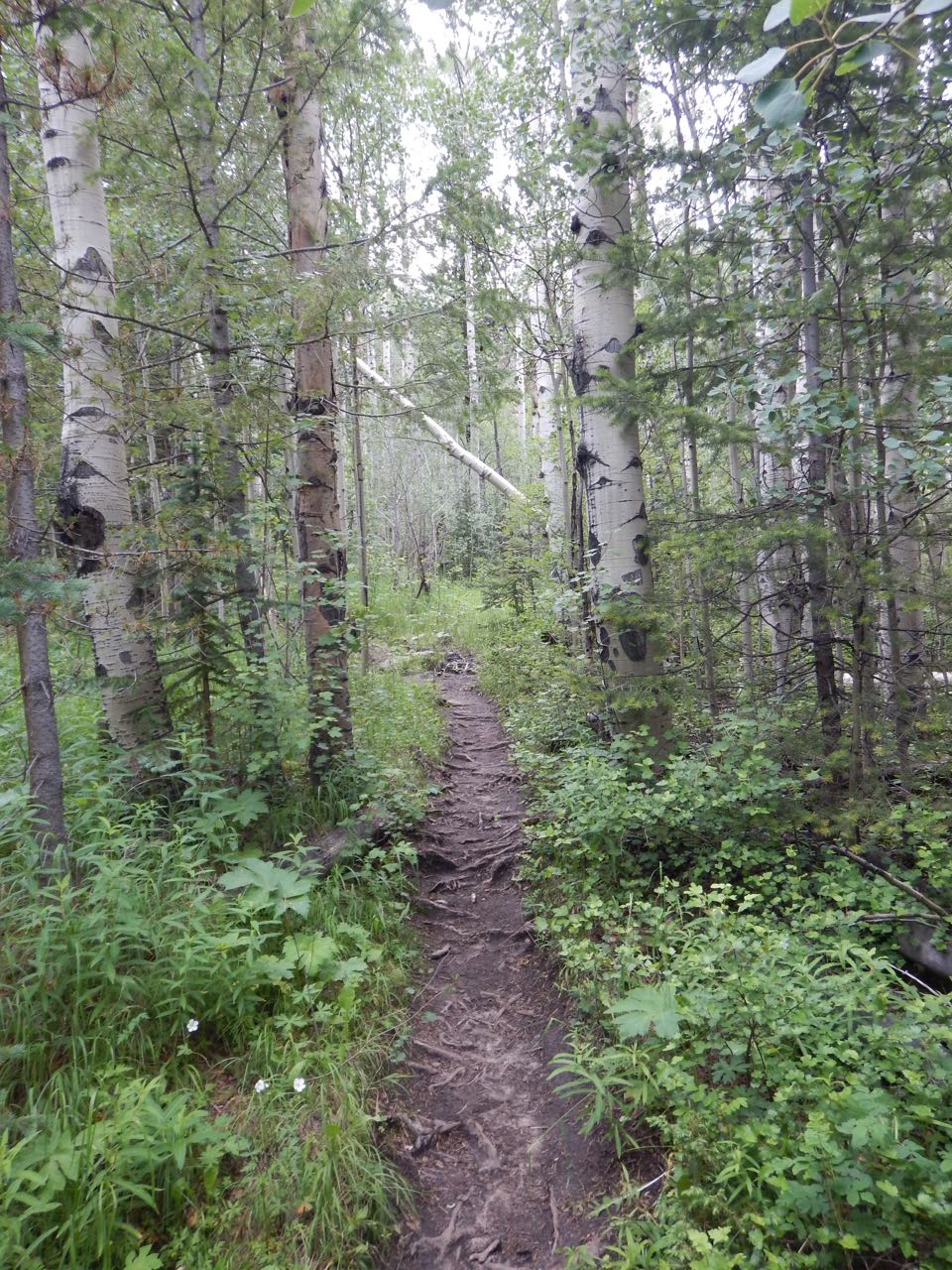 |
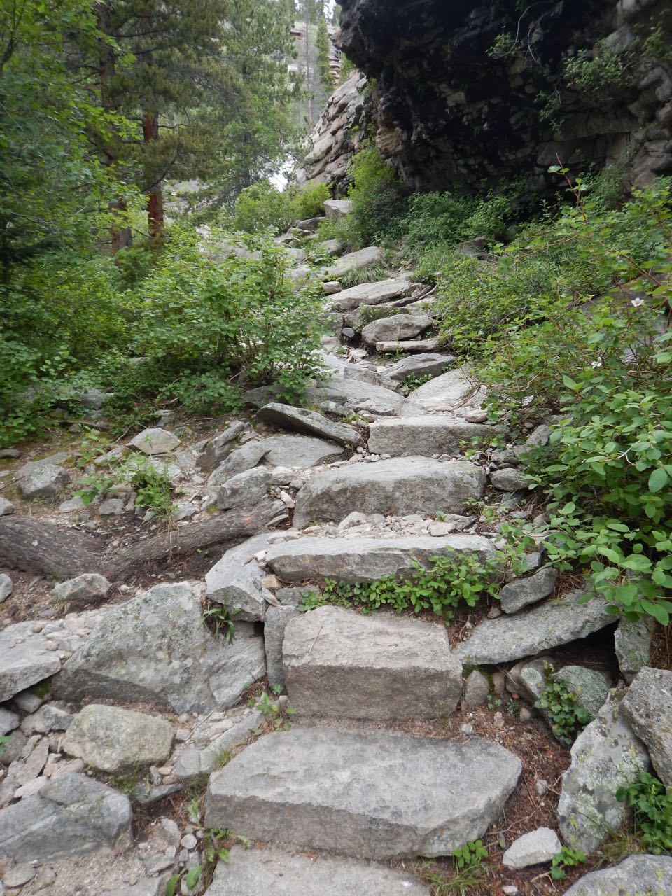 The Stairs of Cirith Ungol. No, really. |
The last part of the hike was the most challenging, as the trail turned into a steep climb, scrambling over a series of large boulders alternating with a seemingly endless series of stairs made from rough-cut rocks. |
But finally, I reached my destination, Bridal Veil Falls, so named because the rock formations beneath the falls cause the water to spray back upward in a veil-like shape.
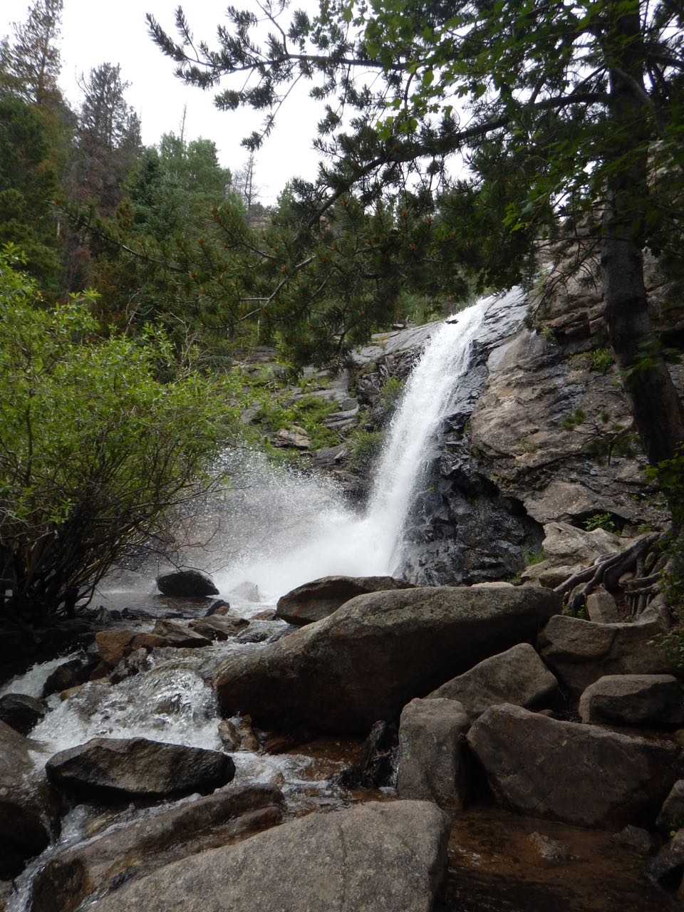
I spent around a half an hour in the vicinity of the falls. The guidebook said to hike up above the falls to see the way the stream bounced over the solid rock shelves above, but I couldn’t find any way to do that. After looking (and resting up from the long stair climb), I headed back down.
Reaching the TARDIS back at the trailhead, my Rocky Mountain National Park visit was over. On to the next destination.
Next: Moab UT, and Arches and Canyonlands National Parks
