July 13
My first of three days exploring Rocky Mountain National Park. The plan is to drive the park road today, stopping at all scenic points, taking in the overview. The next two days I have planned for day hikes.
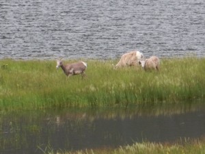
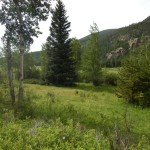
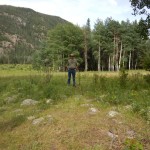
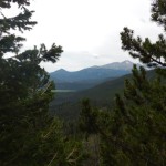
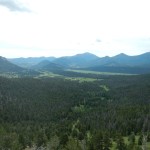
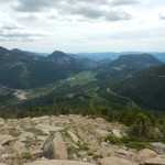
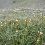
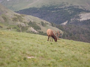
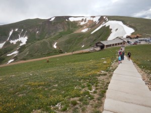
The first sight RMNP offers on entering through the Fall River entrance (one of two available from Estes Park) is a series of small meadows, finally opening out into the above very large meadow, named Horseshoe Park. RMNP’s landscape is dotted with many of these meadows, all named “parks” after the French word parque which refers to any open area surrounded by trees. (So say the National Park Service info displays.) Horseshoe Park is named for the horseshoe shapes made by the meandering river running down it. These meadows throughout RMNP are formed from marshy, swampy ground around streams or ponds, which trees don’t like but grasses and water plants love. They also attract wildlife that likes to graze on wetland plants, such as moose and—
From Horseshoe Park I turned toward a formation called the Alluvial Fan, remnant of a catastrophic event in 1982…
The Lawn Lake Flood
In 1900 a local rancher built a dam across Long Lake, one of many mountain lakes throughout the area, to enlarge the size of the lake as a reservoir for inhabitants to the east. The outlet of the lake, called the Roaring River, tumbled rapidly down the mountainside to Horseshoe Park, where another dam, called Cascade dam, created a second reservoir.
When the area became a national park in 1915, artificial dams already in place were allowed to remain. Lawn Lake had ceased to be used as a reservoir, and the road to the dam was disused and dwindled to a hiking trail. Because of the remote location of the dam, high in the mountains, regular maintenance was impossible. Over the years, water seeping beneath the dam began to undermine it.
On July 15, 1982, at 5:30 AM, the dam gave way and a gigantic flood tore down the Roaring River, powerful enough to carve out a new canyon in one swoop. A camper on the banks of the Roaring River was awakened by the sound and escaped to higher ground, but his friend was swept away and killed. The survivor called Rangers on the radio in time for them to begin an emergency evacuation of Aspenglen campground, in the direct path of the flood.
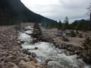
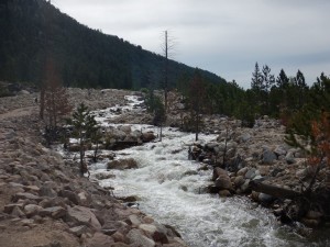
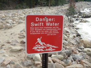
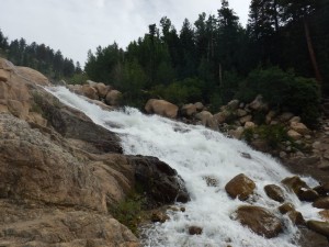
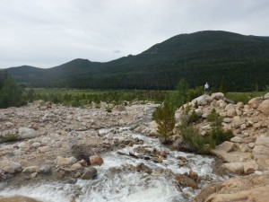
Reaching the foot of the mountain, the flood lost much of its force and dropped the rocks and silt it had carved out of the mountain, in a formation now called the alluvial fan. 33 years later, it’s still obvious a catastrophic event occurred.
 |
 |
 |
 |
 |
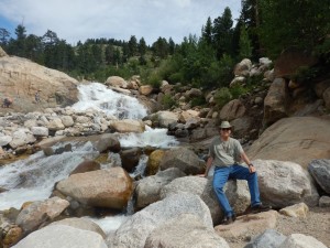 |

Today biologists continue to study the process of trees and other plants recolonizing the debris field.
The flood wasn’t done. Though it had dropped its boulders and silt, the water kept moving. It poured into the artificial lake at Horseshoe Park and overwhelmed Cascade dam. Aspenglen campground was flooded, and two more people were killed— it could have been much worse but for the hasty evacuation carried out by the rangers. The floor waters continued out of the national park and down the valley. The flood was still six feet deep when it struck Estes Park, doing enough damage to count as the worst disaster in the town’s history. Finally the waters poured in Estes Park’s city reservoir, which was able to contain the extra water, stopping the flood there.
I’ll be revisiting the Lawn Lake flood in a couple of days: one of my planned day hikes is up to an overlook of the canyon the flood carved in the former bed of the Roaring River. For now, it was time to move on.
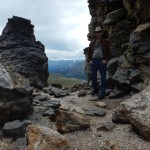
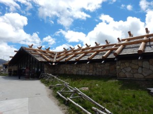
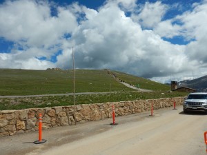
I drove up Trail Ridge Road, which winds its way up to Fall River pass, where the Alpine Visitor Center is the highest elevation visitor center in the National Park Service. The road then continues on down to the west side of the park. Here’s some of the things I saw along the way.
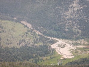 |
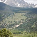
Here’s a view of the alluvial fan from a distance, showing the full extent of it. |
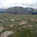
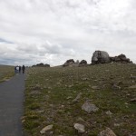
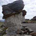
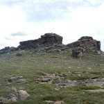
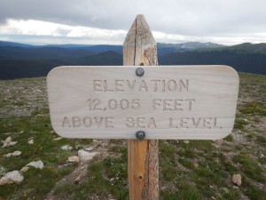
Trail Ridge Road eventually climbs above the tree line, to the tundra.

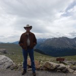
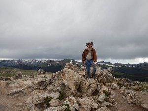
Yes, I made it to the top. I get the T-shirt.
This post is really getting too long, but there was so much good stuff. I’ll try to be efficient.
 |
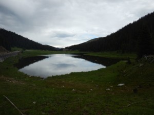 |
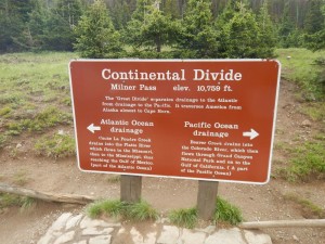
Poudre Lake sits right next to the Continental Divide.
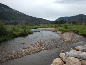
The Colorado River, only a few miles from its source in the mountains in the background— hardly more than a creek here. I’ll be seeing this river again on my trip.
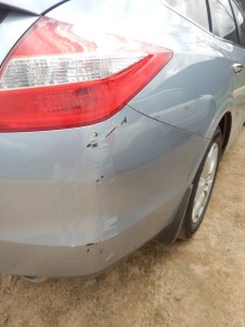
And now I really have gone on too long, and it’s time to wrap things up. Two incidents happened today that put something of a damper on the mood.
Two: walking around the shore of Poudre Lake at the Continental Divide, I put a foot down in a bad spot. A number of other people were walking around the lake, but I guess it was my turn for bad luck: instead of a solid patch of dirt as I expected, the place I stepped was a bog (I guess that’s what you’d call it) and I might as well have tried to stand on clear water. That leg sank to the knee, and by the time I got myself pulled out not only one leg of my jeans but both hiking boots and socks were caked in mud, inside and out. It was slimy, cold, and just generally yucky. There wasn’t much to do about it except grin and bear it. But the long-suffering TARDIS will also need a good interior cleaning on the driver’s side when the trip is over.
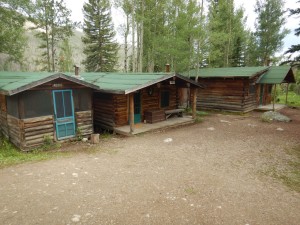
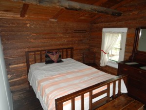
My cabin has a little kitchen and a sink. After getting back, I used the sink to wash all the mud off my jeans and hiking boots. The jeans aren’t that much of a problem— I packed more than one pair! And plan to wear shorts for hiking tomorrow anyway. But the hiking boots will never dry in time, so I’ll have to decide whether to put up with soggy feet, or go hiking in my tennis shoes (fine for daily wear, less so on uneven trails).
Next: Rocky Mountain National Park, day 2
(I’m going to keep doing two of these posts a day until I catch up to the actual present.)


