Day 2: June 11
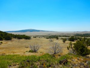
I expected today to be a drive day without anything noteworthy alone the way, although getting into prettier scenery as I approached the mountains. In fact, I didn’t quite get into the mountains yet, they’re hovering on the horizon to the west, but I did come across an interesting stop along the way.
My route was from Amarillo to Colorado Springs. In past road trips, both the 2015 epic and a shorter trip just to Rocky Mountain National Park, my route has gone through Taos, New Mexico, since those trips were attached to the SMU Writers Retreat in Taos each summer. The Writers Retreat isn’t happening any more (a long story but not one for today: I’ll revisit it later in the trip) so my GPS led me on a direct route from Amarillo, explaining why I didn’t get into the mountains I expected.
However, the new route did lead me right past Capulin Volcano National Monument, which I didn’t know about until I saw the turn-off from the highway. I expected to reach Colorado Springs early and had no plans until tomorrow, so I had the time to turn off and see it.
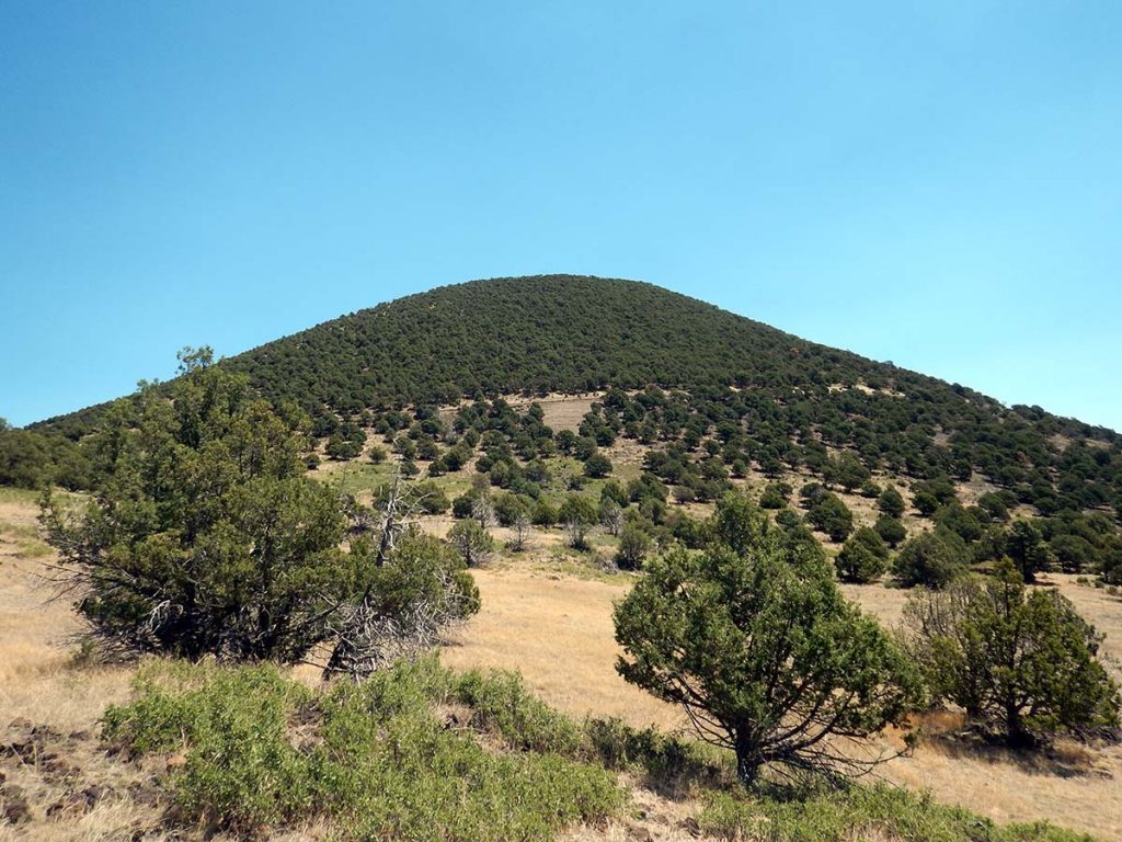 Northeast New Mexico and southeast Colorado are dotted with a lot of these extinct cinder volcanoes, dating back to a period of frequent volcanism in the region. Petroglyph National Monument in Albuquerque, which I saw on the 2015 trip, has three small ones; the petroglyphs that give it its name were carved into the rocks of a lava flow from their last eruption.
Capulin Volcano was made a national monument in 1891 because— according to the park service info text— it was the most perfectly shaped representative of a classic North American cinder cone anywhere. I haven’t checked them all, but I can say that if you enlarged a standard grade school science class model, it would look exactly like Capulin.
Capulin’s cone was built in a single eruption around 9 million years ago. Multiple lava flows surround the cone, while the cone itself is made of layers of ash and cinder. It’s been extinct since its one eruption— typically cinder cones have only one eruption.
Up at the top, there’s a trail around the rim of the crater, and another going down to the original vent at the bottom.
 A photo really doesn’t do the crater justice— at least not a photo taken by an amateur photographer like me. A pro would probably have planned to take a picture here in the early morning or late afternoon, but I was here almost exactly at noon where the overhead sun left no shadows to provide depth perception. The photo really doesn’t show how perfectly steep-sided a funnel this is, leading down to a pointed bottom where the volcanic vent was.
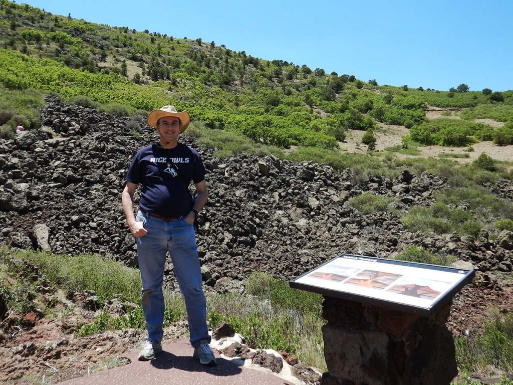
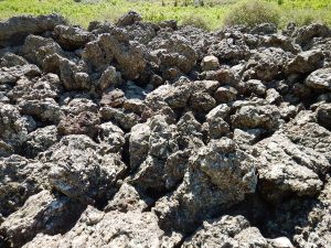 It’s only in fiction that extinct volcanoes have an open shaft plunging straight down into the bowels of the Earth— in real life, once the eruption is done, the vent is left clogged with cooled lava. So there was no ominous cavern here at the bottom of the short trail leading down to where Capulin’s vent once was. But (to repeat myself) the crater was such a perfectly-shaped funnel that you could stand here next to the spot and believe that there ought to be one.
After exploring Capulin Volcano National Monument for a couple of hours, I continued on to Colorado Springs— or more accurately, Manitou Springs, a tourist-based town next to Colorado Springs. I’ll be here two nights, and plan to drive up Pike’s Peak and visit the “Garden of the Gods” tomorrow.
Trip Report:
Miles driven today: 372
Total miles so far: 723.7

