
I’m going to cover two days in this post— since the second is pretty brief.
Day Twenty-six: July 5 (posted July 6)
So, what to do with my second day at Mesa Verde? I asked a park ranger for suggestions, and he directed me to an area called Hovenweep National Monument, around 40 miles away, located inside the larger Canyons of the Ancients National Monument.
Canyons of the Ancients is a huge land area adjacent to Mesa Verde, which contains the highest density of archaeological sites in the United States. 6355 sites have been documented, and it’s estimated there are as many as 30,000 all told within the area. They represent the Ancestral Puebloan culture that occupied this whole region (as I talked about in the last post).
Almost none of them are anything to see, unless you are an expert archaeologist who knows what to look for, but there are a few points of interest.
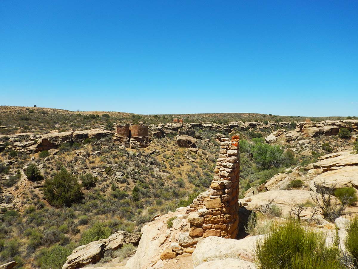
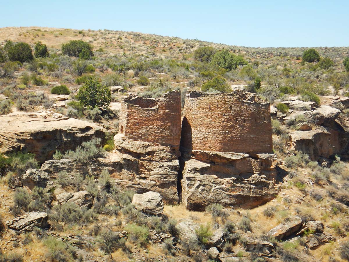
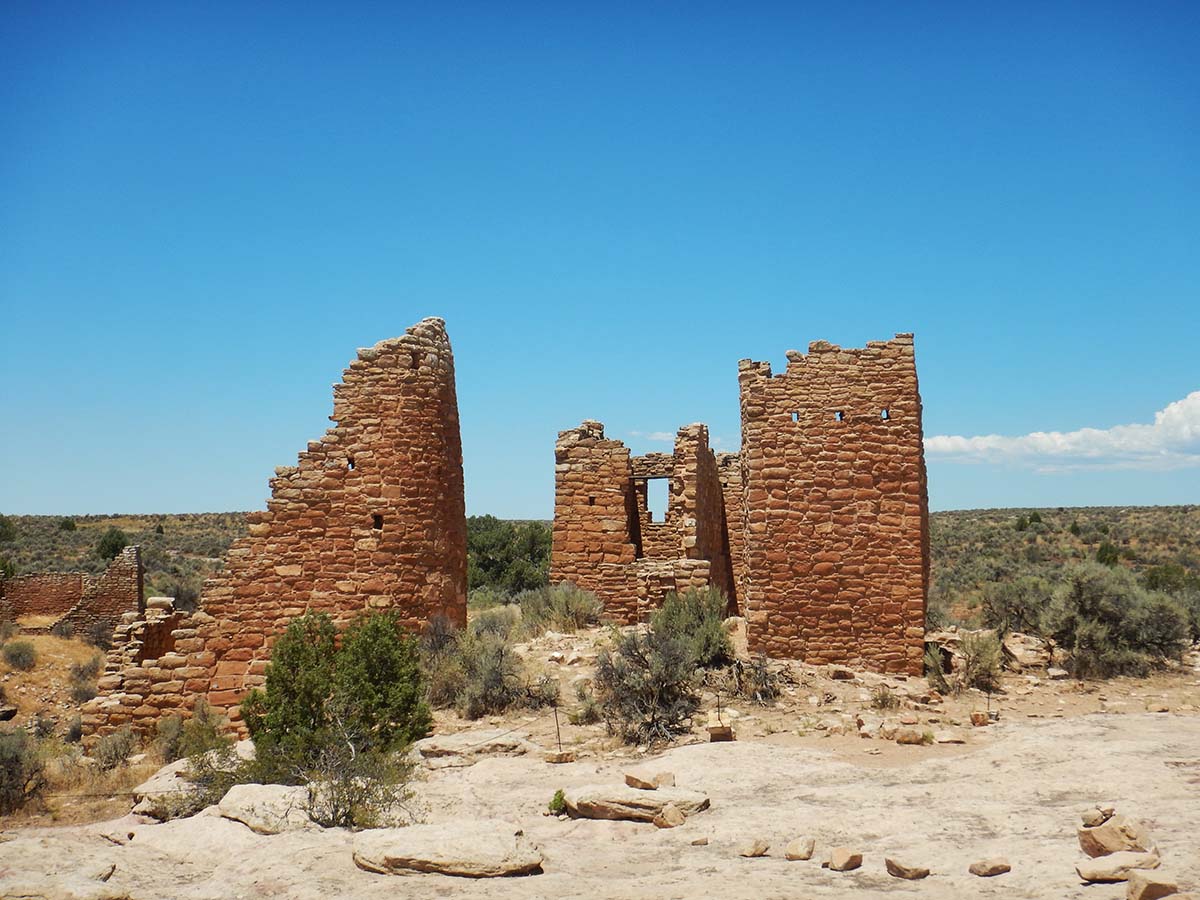
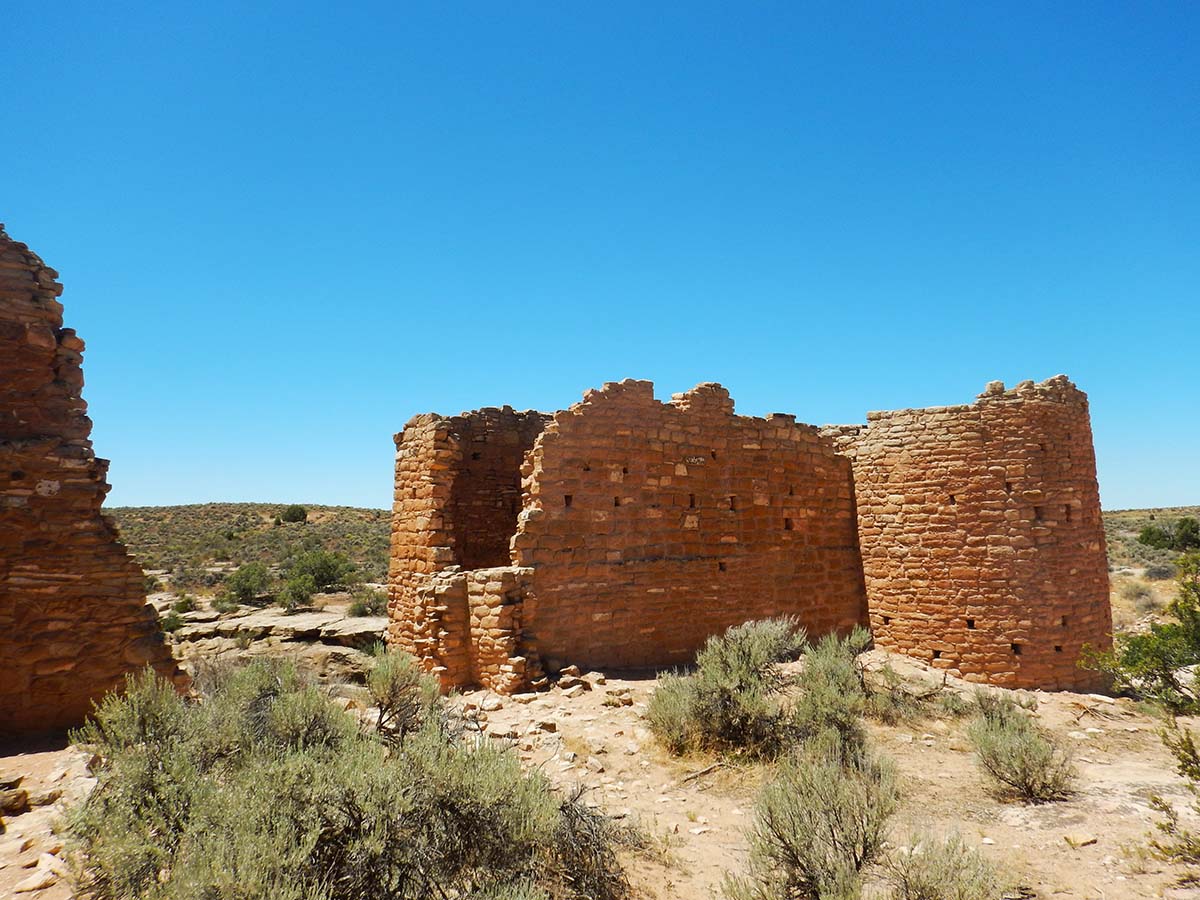
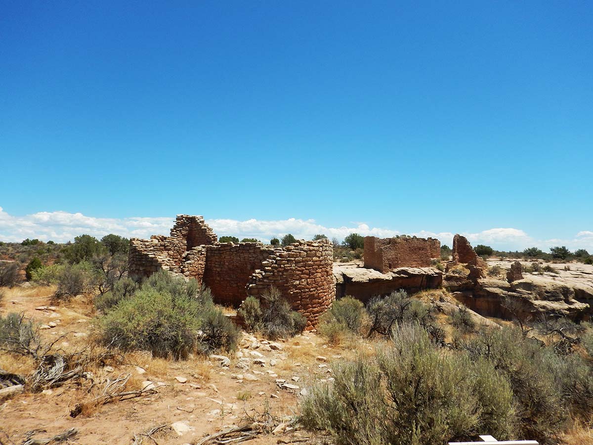
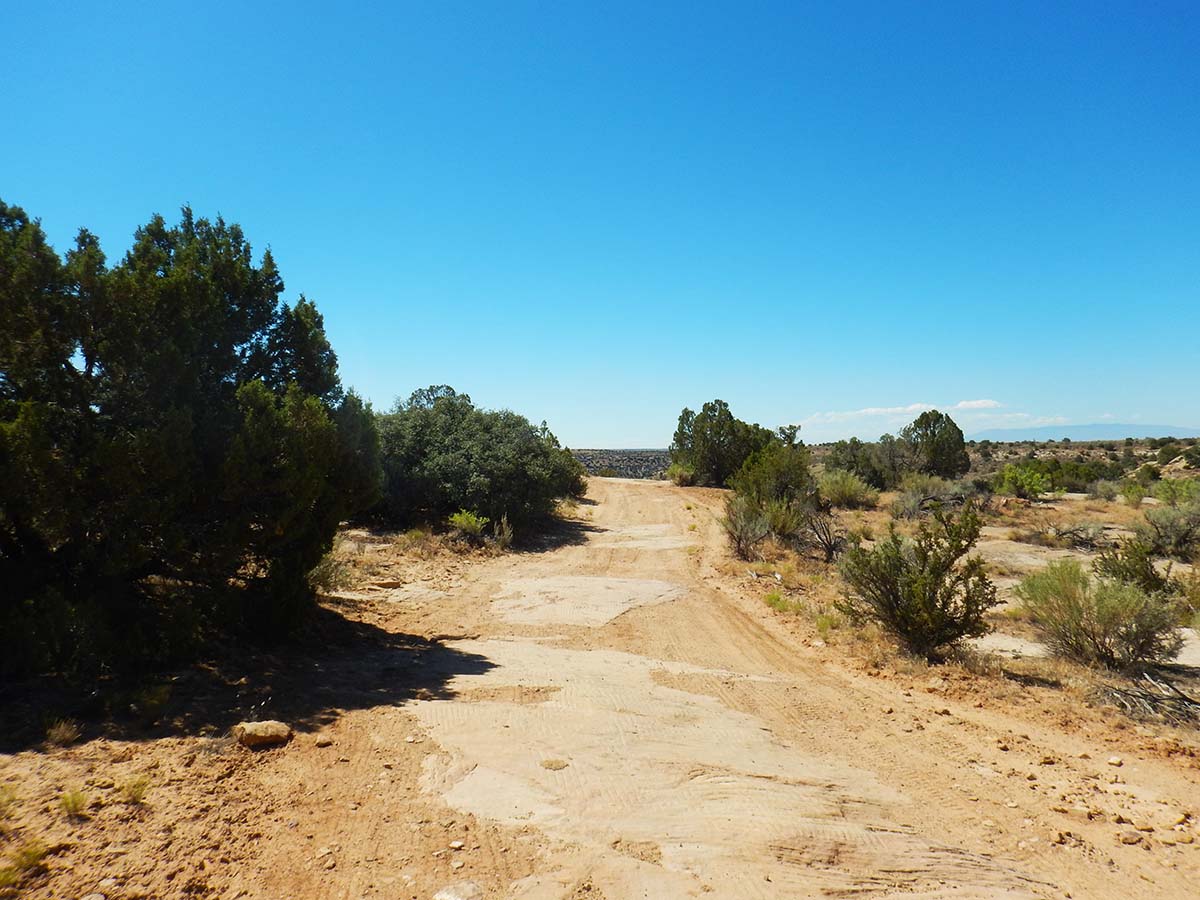
Hovenweep is one of them; it’s a separate national monument within Canyons, dating to the same period as the building of Mesa Verde’s cliff dwellings. It’s a large cluster of structures build around one end of Hovenweep Canyon (“Hovenweep” is a Ute word meaning “Deserted Canyon,” so saying Hovenweep Canyon is actually a bit redundant).
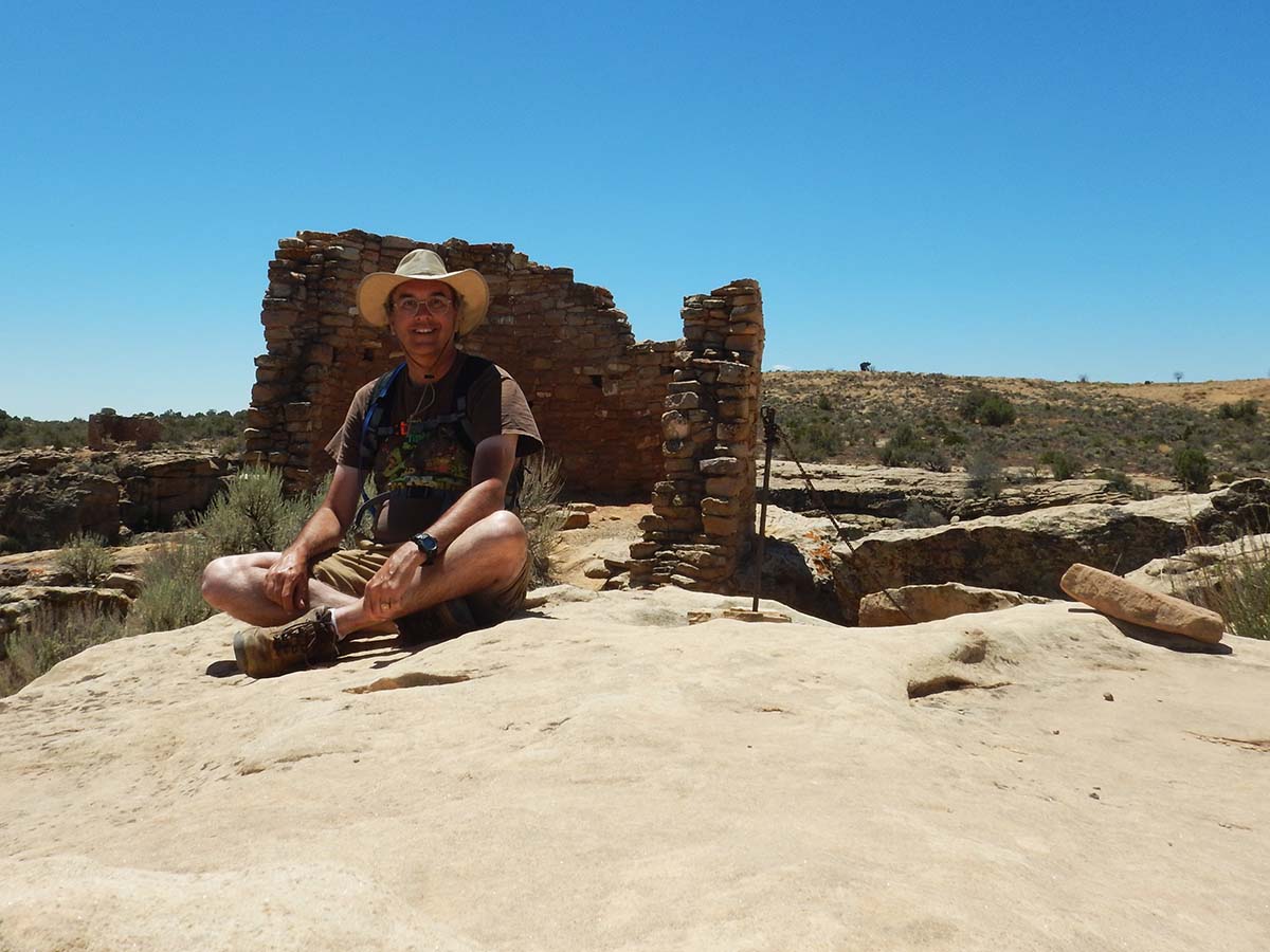
There’s a three mile loop hiking trail around the rim of the canyon, which I followed. I droned on about the history in the last post, so I’ll just line up the pictures:
 |
 |
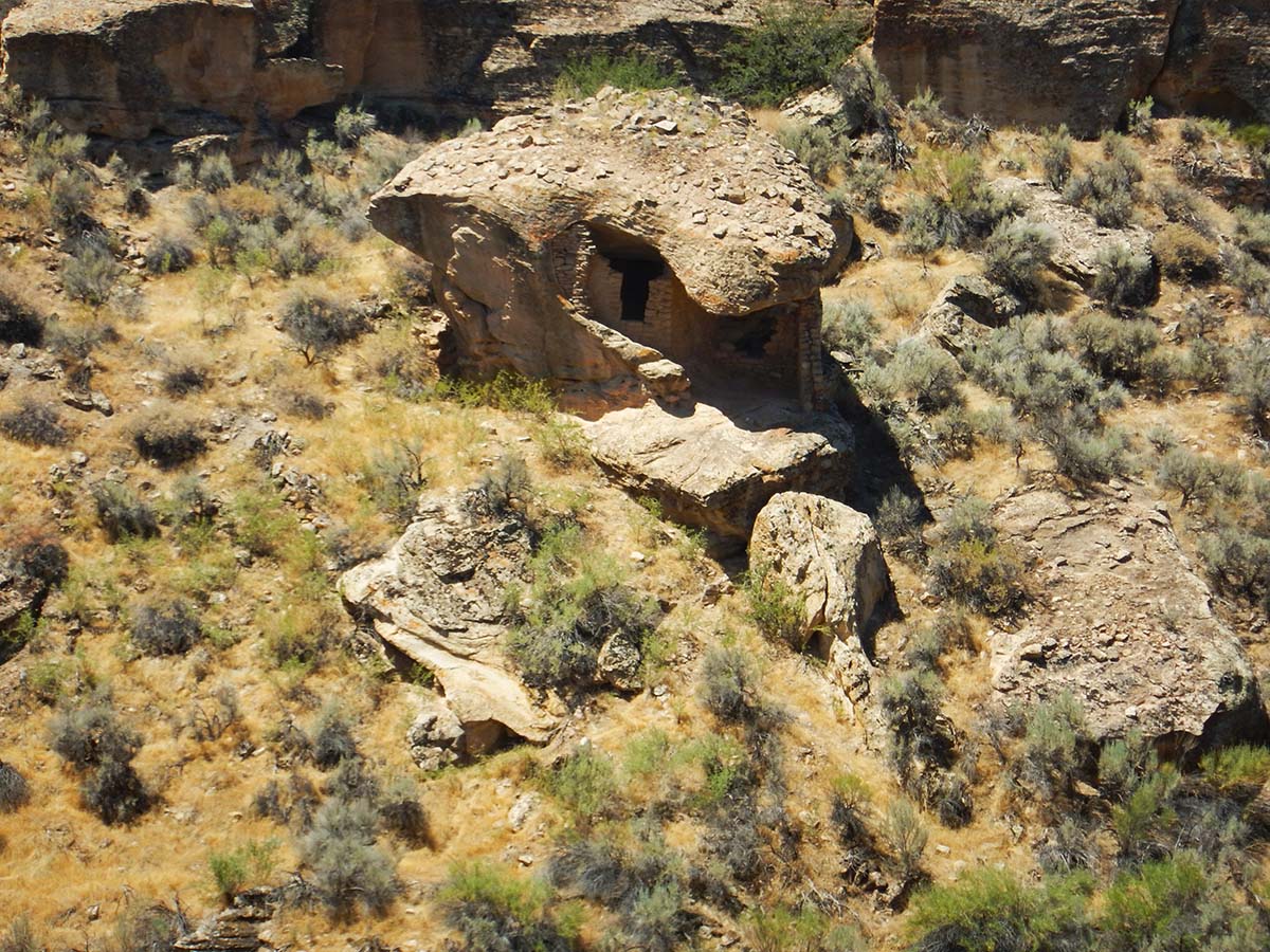 |
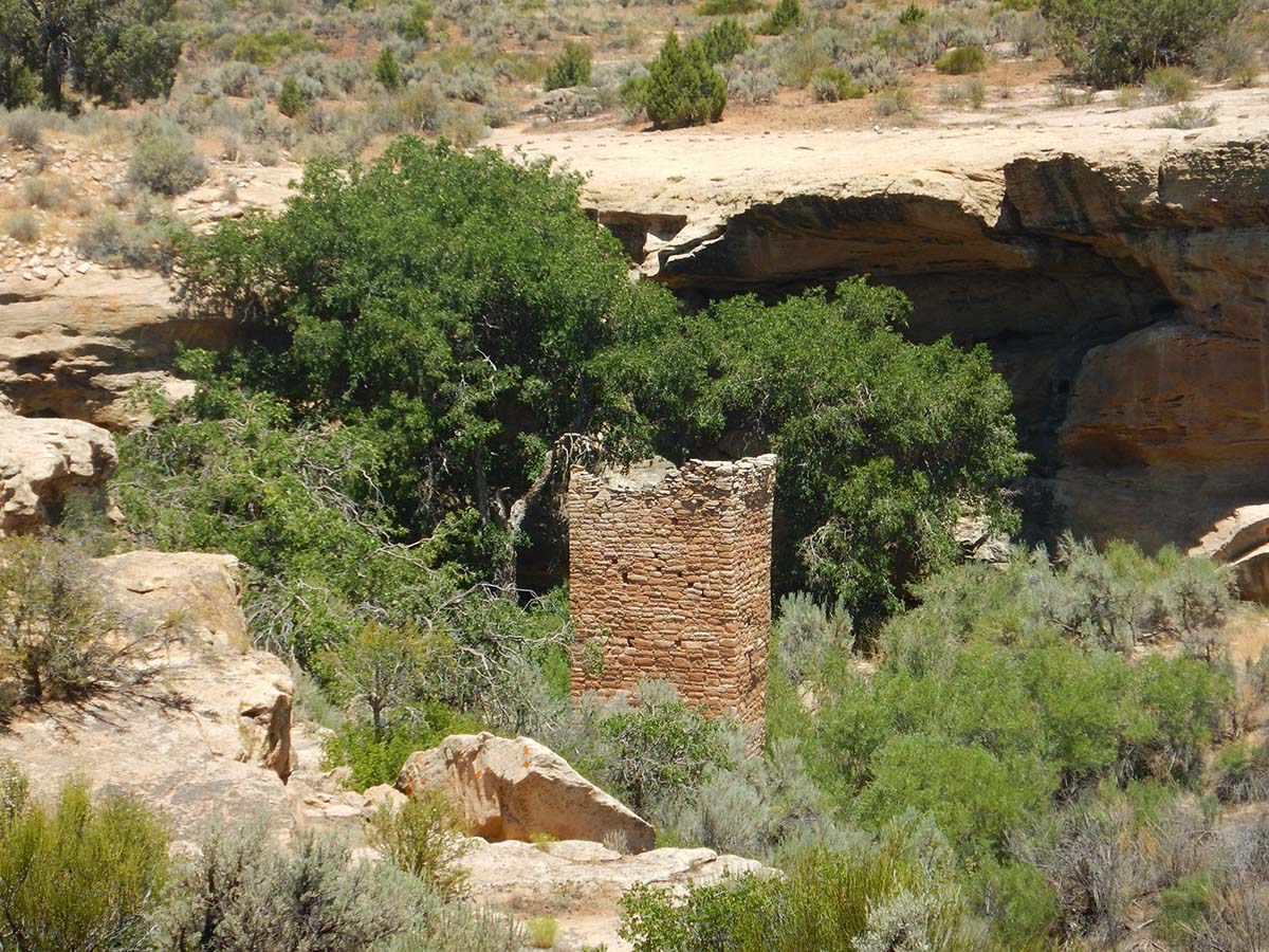
“Eroded Boulder House”— they built a structure up under the overhang of a toppled boulder. |
 |
 |
 |
 |
The distance from Mesa Verde to Hovenweep meant I couldn’t get the early start that’s best for hiking in these hot desert areas. So it was in the 90s as I hiked around the three mile loop (I did not forget my Camelbak— that lesson was learned!) and I was pretty wrung out by the end of it.
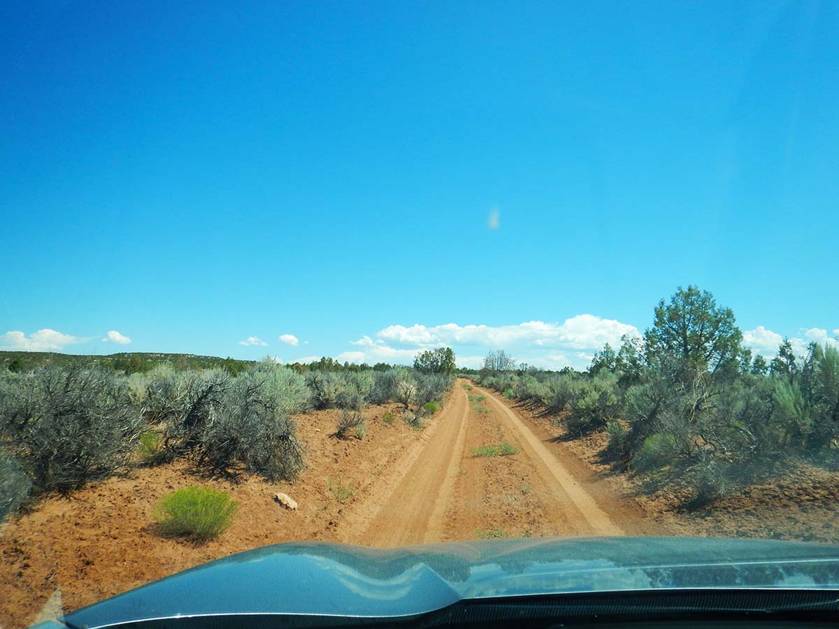
So I next went “card hiking”— driving around a long loop of four-wheel-drive-only dirt road through a section of Canyons of the Ancients. The road went by several other viewable sites, but I found none were right next to the road— they were all short hikes away— and I didn’t feel like more walking in the heat. So I just drove the loop and enjoyed the scenery.
 |
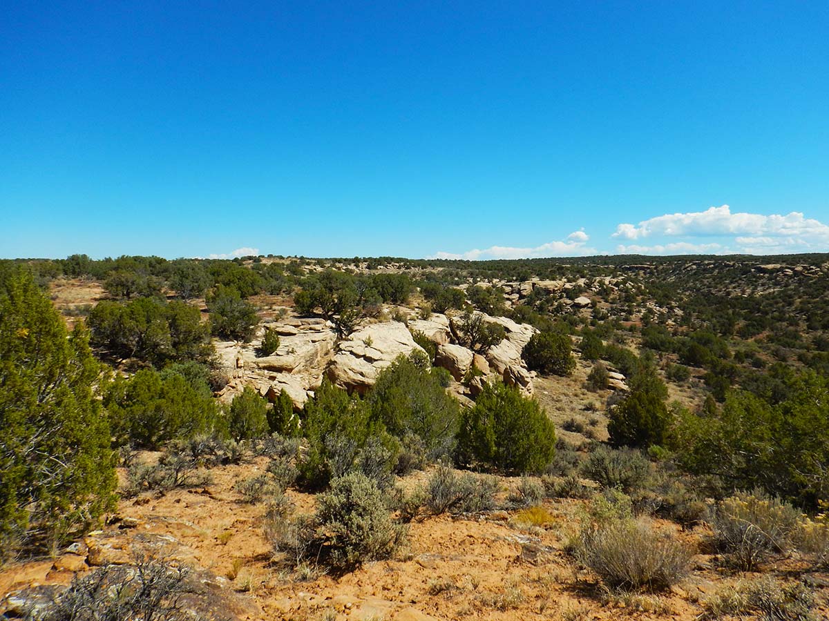 |
 |
 |
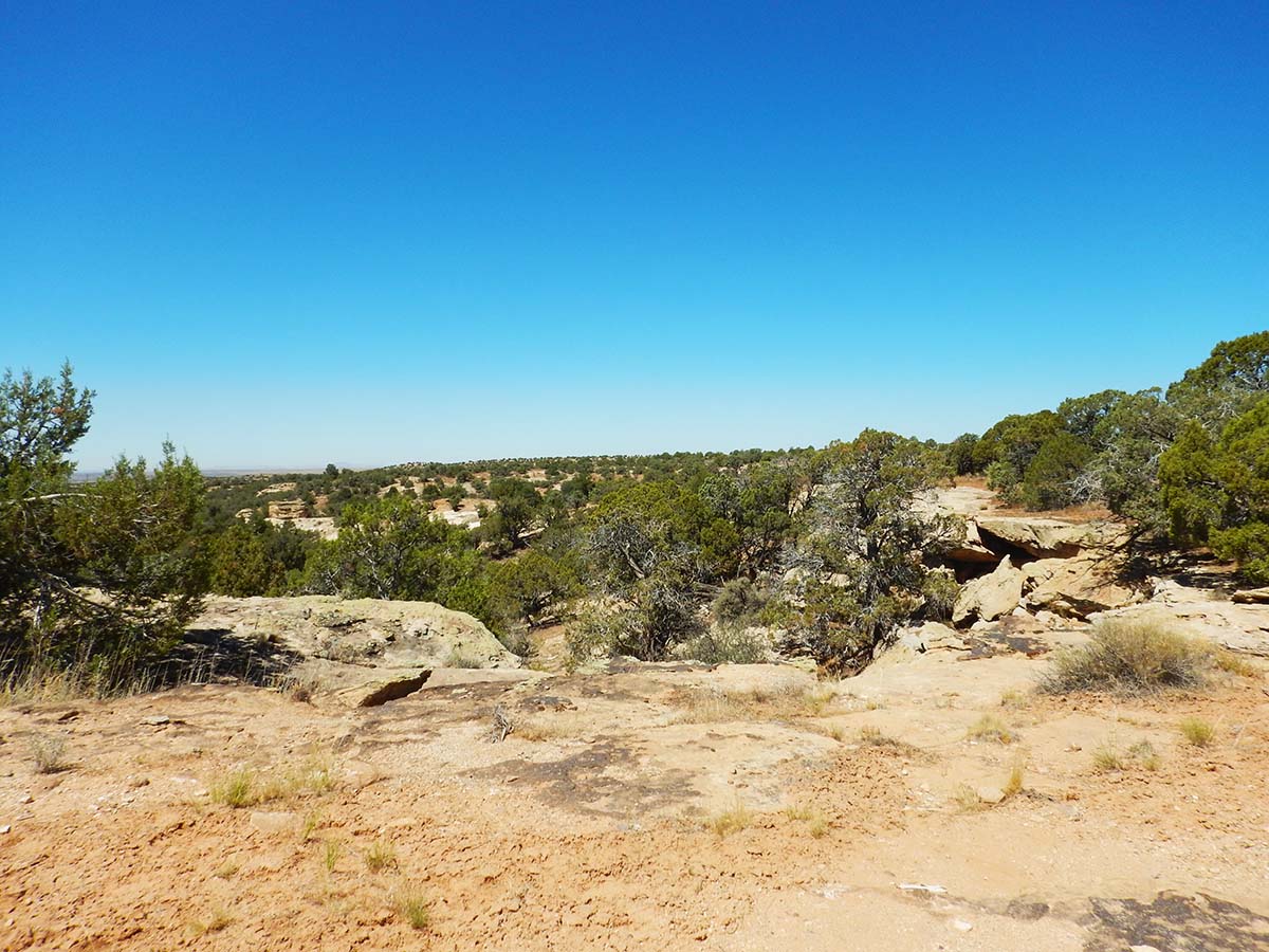
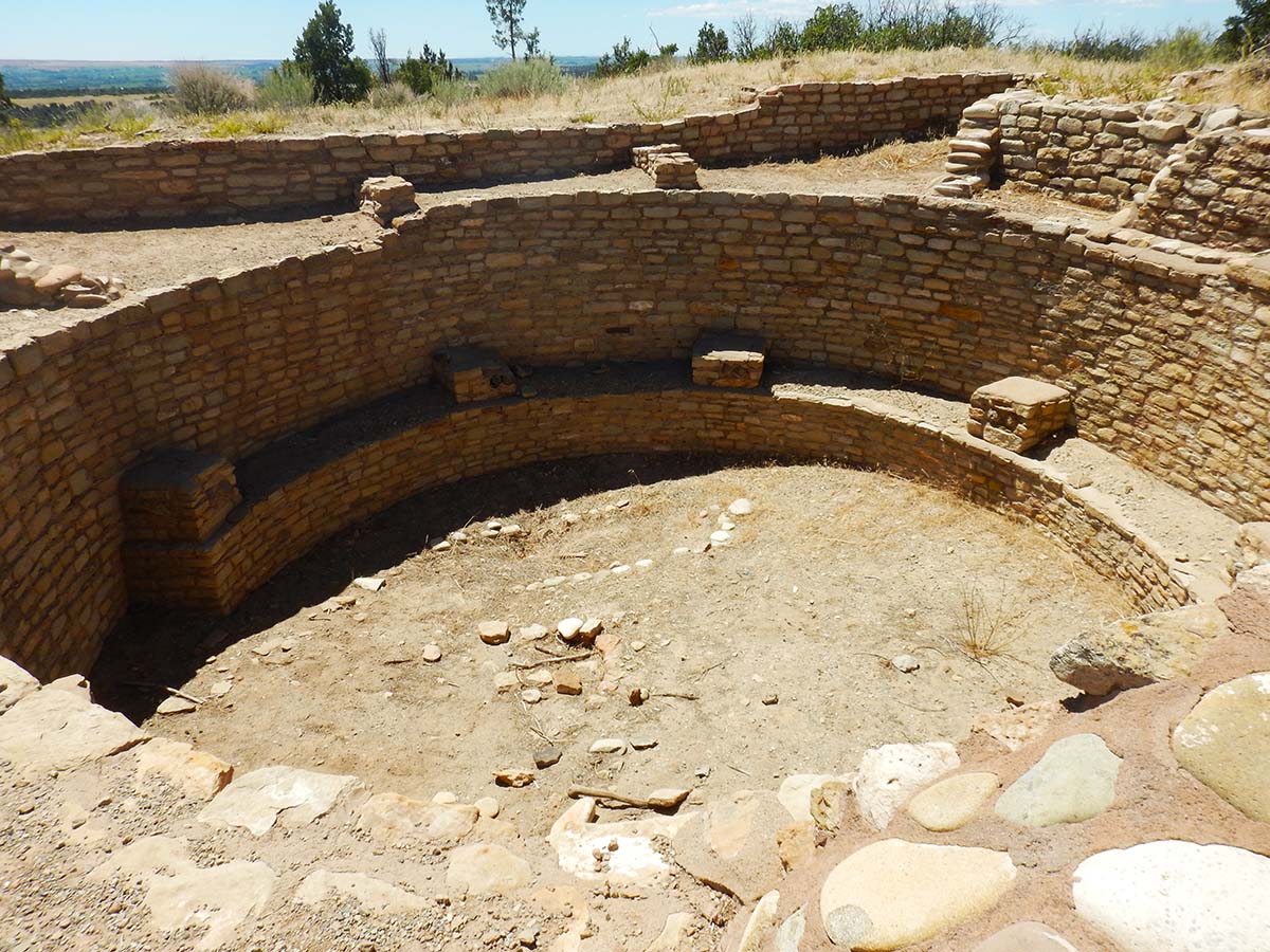
Finally, I headed for the Canyons of the Ancients visitor center and museum. It was closed due to the epidemic but a half mile paved walkway nearby led to an excavated pueblo atop a hill commanding a view of the area. The drive had given me time to cool down from the Hovenweep hike, so I followed the walkway.
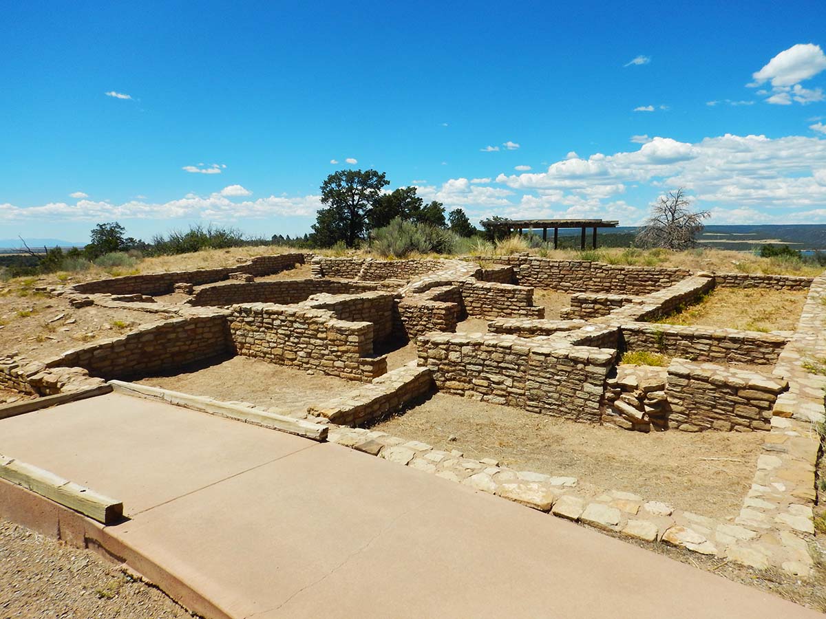 |
 |
Prominent on the horizon from the top of the hill is Sleeping Ute Mountain:
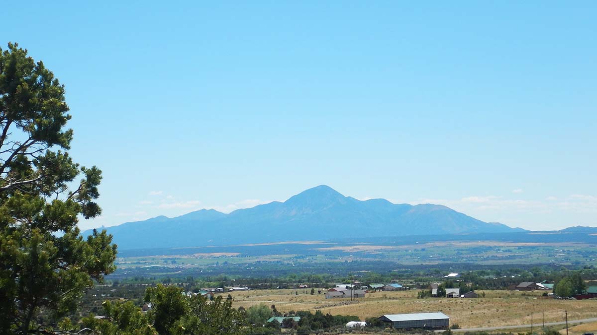 Ute legend says it was a Warrior God who fought an exhausting battle against the forces of evil, then lay down to rest. It’s supposed to look like a Ute warrior lying on his back with his arms folded. The highest peak is his folded arms, and his head is to the right with a chief’s headdress fanned out around it (making the slopes of the mountain). His legs extend to the left.
I could make out the shape a lot better in person than it shows up in the photograph. The mountain lies in the center of a Ute reservation, which surrounds it on all sides.
That brought my day to a close— my last actual day of sightseeing on this month-long trip, although I’ve got one last fling tomorrow morning. The distance to Hovenweep, plus the time driving around the dirt road loop, put as many miles on the trip report today as if it was a “drive day” to a new location.
Trip report:
Miles driven today: 196.8
Total miles so far:4897.4
Day Twenty-seven: July 6
Today was the first of three driving days in a row, homeward bound with no more destinations to stop at. That wasn’t quite how it was supposed to be.
But first, I started the day with a bus tour at Mesa Verde, rather than getting off to my usual drive day early start. I had previously booked a day-long, ranger-guided tour of several cliff dwellings. When those tours were cancelled, they emailed me with a substitute: they had put together a bus tour of the major overlooks (limited to 12 people on a bus that normally holds 45, for social distancing). Or else I could get a refund.
I guessed (rightly as it turned out) that I wouldn’t see anything on the bus tour that I wouldn’t see driving myself around the scenic road, and wouldn’t hear anything I hadn’t learned from the park service audio tour. But I decided to do the alternate tour rather than take the refund, because I wanted to support keeping the parks going in whatever way I can.
So I spent the morning doing that. Nothing new to report about it, but here’s a photo:
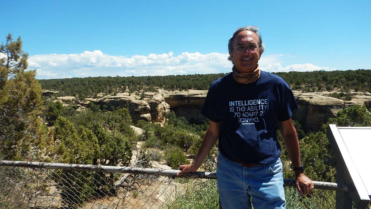 That’s Cliff Palace behind me, but the person taking the picture didn’t seem to quite grasp the idea of getting the cool thing in the background also in the picture.
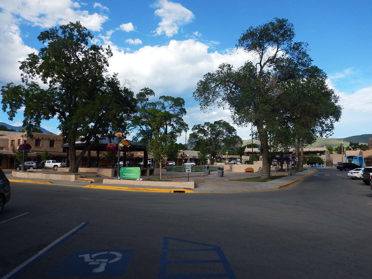
Once the tour (and then lunch) was done, I set out on the first leg of my homeward journey, driving to Taos, NM.
This was supposed to be another major destination. When I planned this trip, it was going to finish up at the annual Writers Retreat on the SMU campus in Taos, part of the Writer’s Path creative writing program. But back in December, the Dean at SMU decided to cancel the entire writing program, so the annual retreat was off. My route home still ran through Taos, and it’s too long a drive to blow right through to the next destination, so Taos was today’s destination.
It was a lovely drive, moving from the pinyon/juniper forest of Mesa Verde’s desert climate into the pine forests of the Rocky Mountains. Here in Taos, instead of five nights at the SMU-in-Taos campus, it’s just one night in a hotel on the highway, and I’ll be driving on tomorrow.
 |
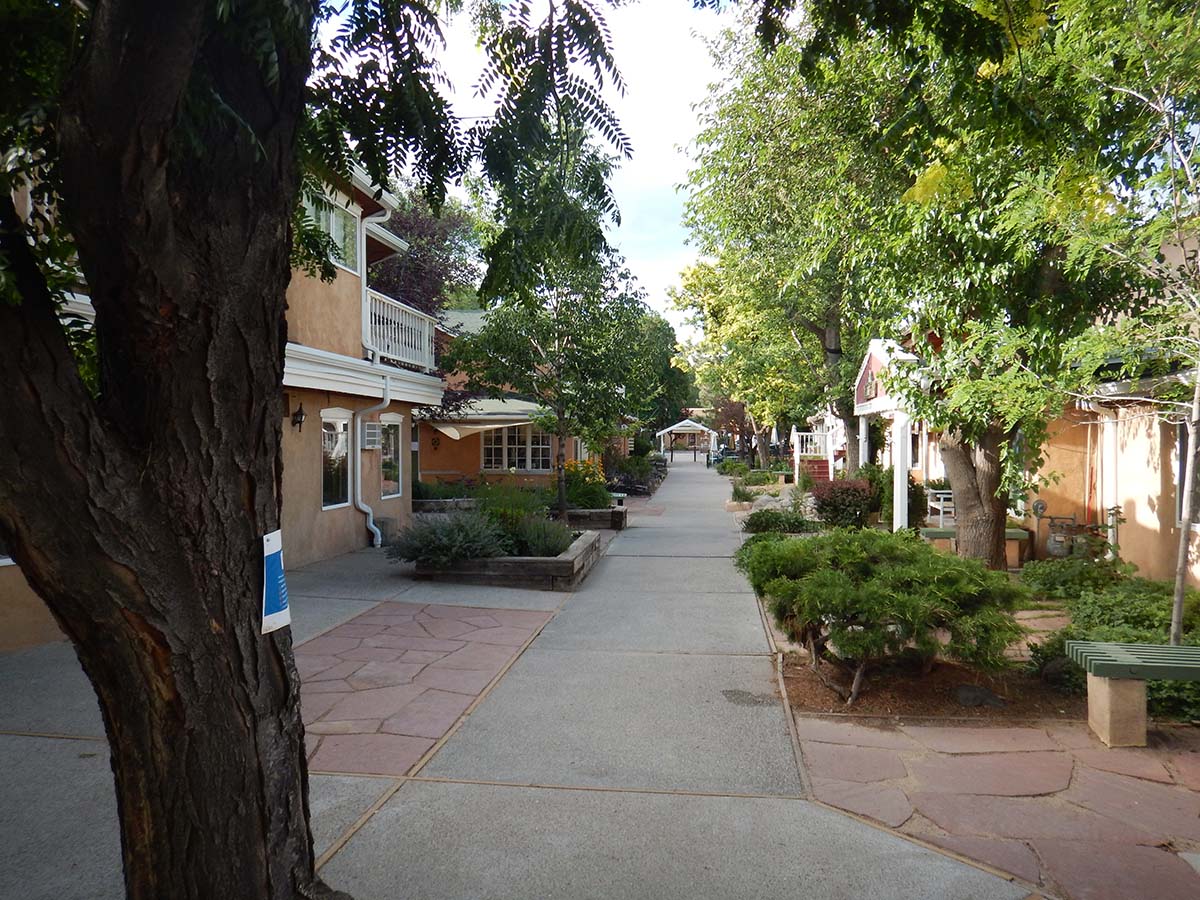 |
Taos’ plaza was eerily deserted tonight, a reminder that it seems certain the Writers Retreat would have been canceled anyway due to the epidemic— but it still rankles a bit to be here and contemplate that there’s a dean in an office back at SMU with all the common sense of a can of expired sardines. Not that I’m bitter or anything.
Tomorrow I drive on to Amarillo.
Trip Report:
Miles driven today: 242.7
Total miles so far: 5140.1
