
Day Five: June 14
With Rocky Mountain’s reservation system putting off my park entry until 2:00 in the afternoon, as I described yesterday, I decided to drive Trail Ridge Road from one end to the other this afternoon, stopping at all the scenic spots.This is the main park road, crossing from one side to the other as it climbs up to 12,000 feet along the way.
I was going to do my sightseeing here on Tuesday, when I’ll have to make the same drive anyway because it’s my route to my next destination, but it probably works out for the best that I did my sightseeing today: Tuesday’s drive will be a long one even without stopping.
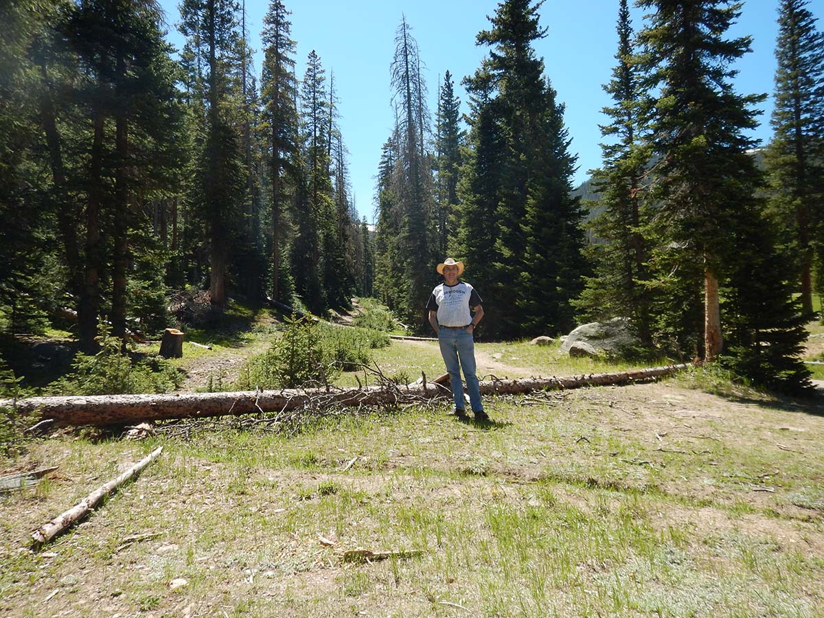 I began with a stop at Hidden Valley, near the start of the drive. This area used to be a ski resort, the land donated to the park after it went out of business. I first came across it on a trip here in the nineties, when the abandoned ski lodge and lifts were still standing. When I returned in 2015, the park service had torn down the old lodge, using the materials to build a new educational center/ranger station, together with a picnic area in the meadow that used to be the bottom of the ski runs. But most of the area is empty, as the park service allows nature to reclaim the area.
| I like to stop by here when I visit Rocky Mountain National Park, to see how nature is doing. (The answer is: the trees move in too slowly to be perceived in just 5 years, so it continues to be a meadow. But I like to check in anyway.) |  |
One thing I noticed throughout today’s drive: all the streams and rivers in and around the park are louder and more vigorous than I recall from previous visits. There are even a lot of spots along the road where water is just streaming down hillsides, apart from any stream bed. Here’s the stream that runs down Hidden Valley, as an example.
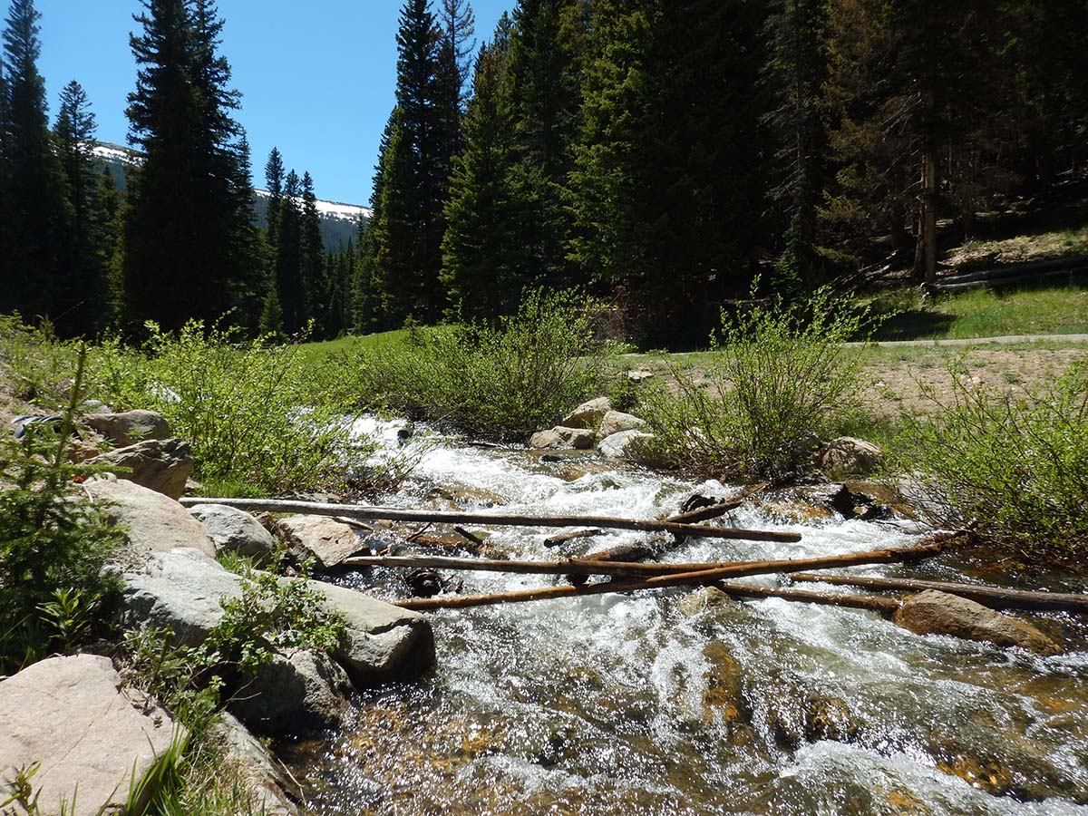 The reason is simply a matter of the calendar: I’m here in June, and my previous visits were in July. Right now the spring snow melt is still going on. At higher elevations, there’s still a lot more snow on the ground than I’ve seen during July visits (though there’s some snow up there that never melts).
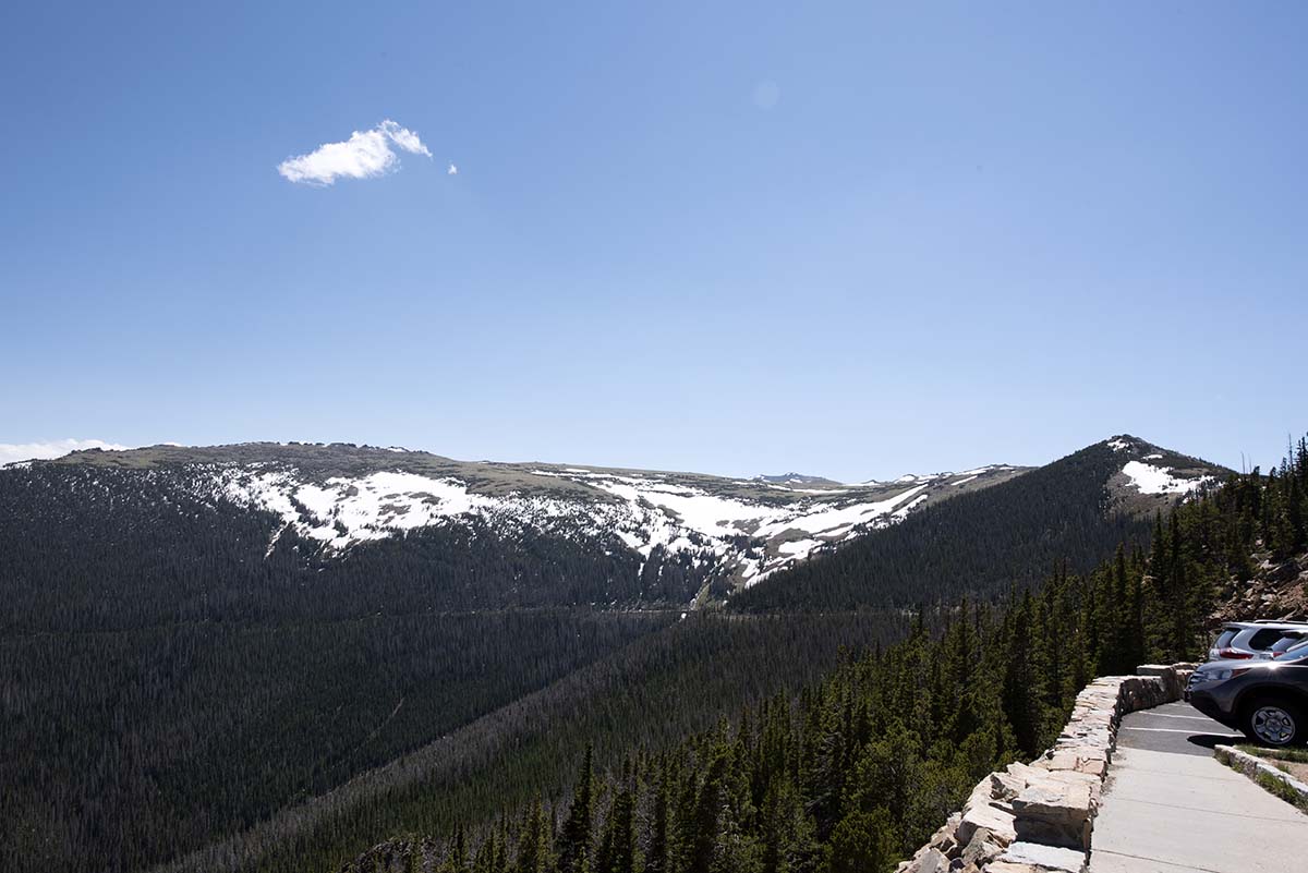
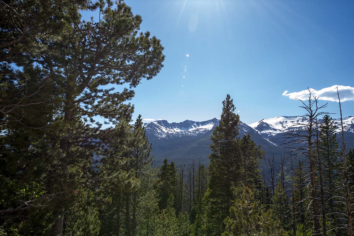
Now here’s a whole bunch of pictures from the drive:
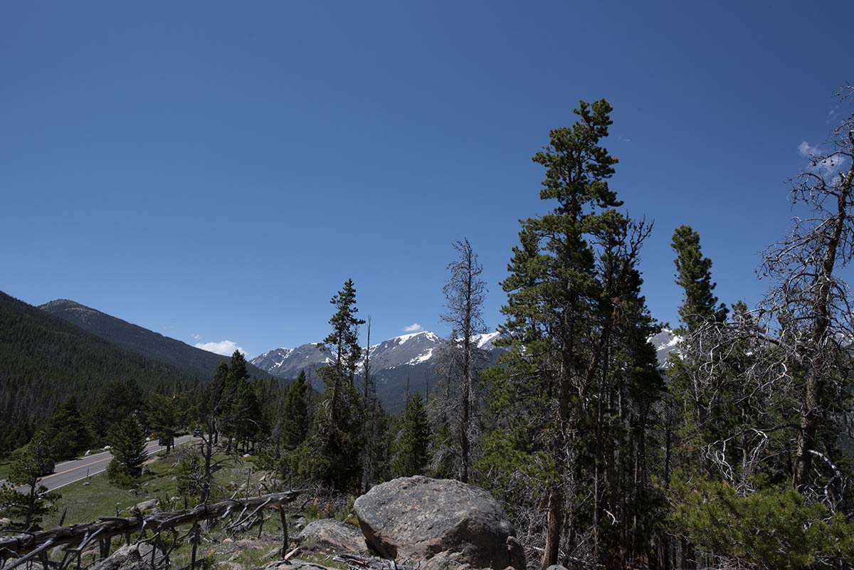 |
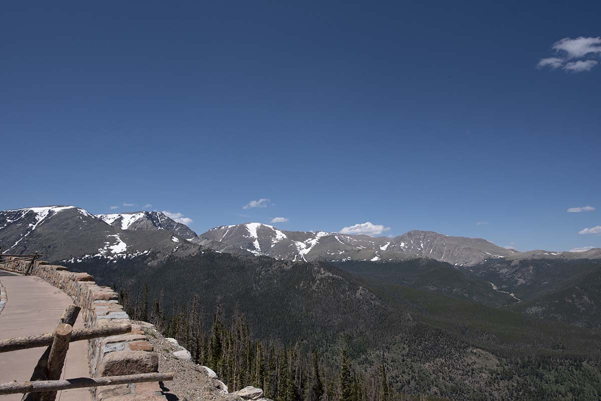 |
 |
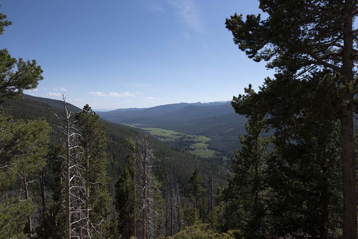 |
 |
 |
Bowl shapes like the photos just above were formed by glaciers in the last ice age.
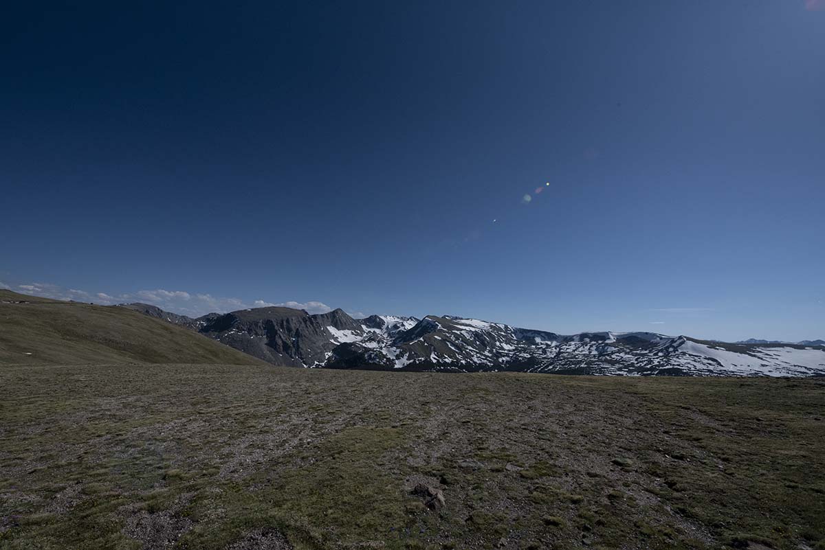
At the highest elevations, the road rises above the treeline into the tundra:
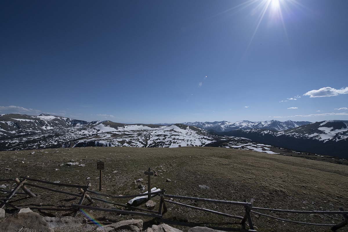 |
 |
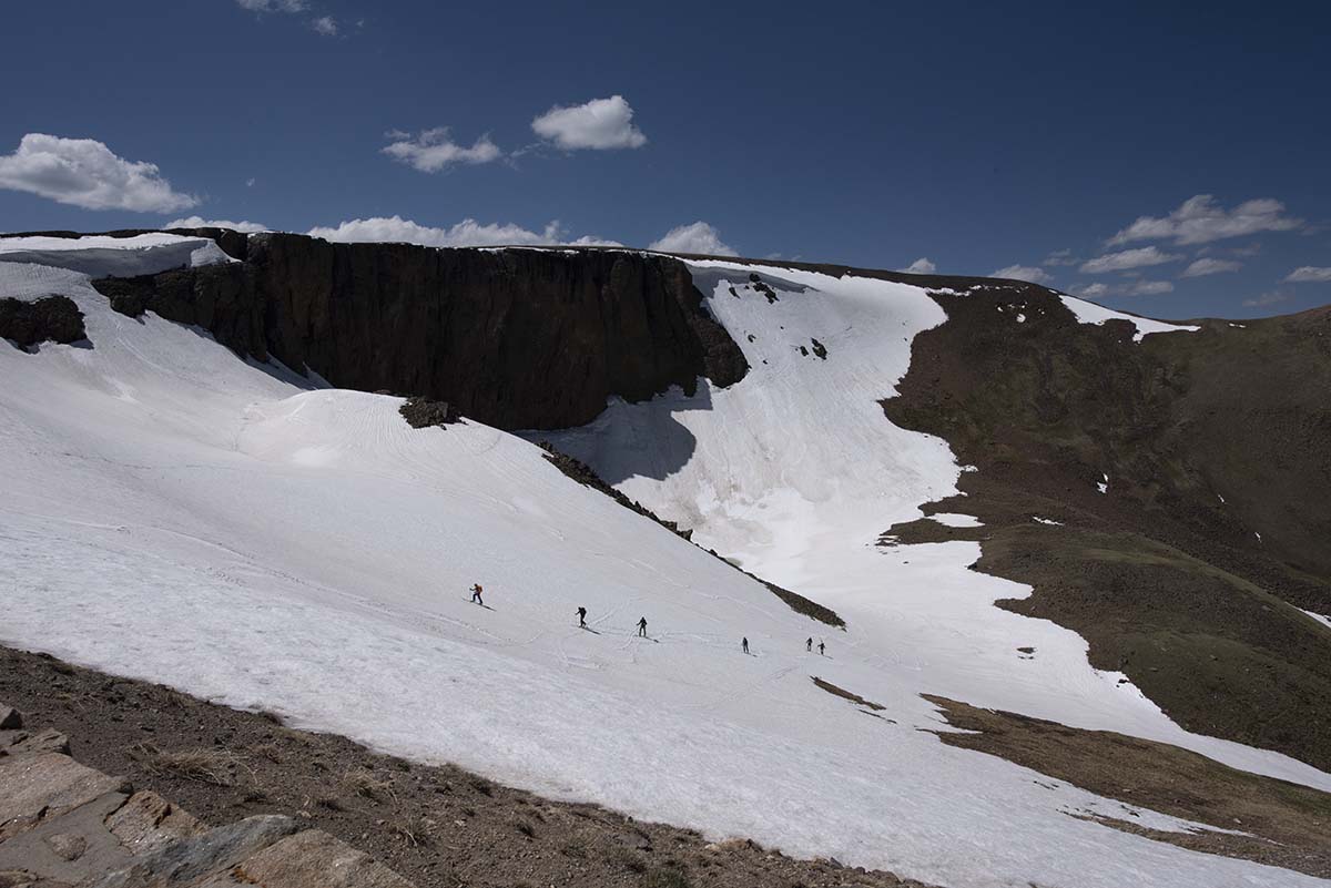 |
At a formation called Lava Clifs, warning signs were posted that the area was off limits due to hazardous snow conditions. You can see an avalanche-ready lip of snow hanging from the upper rim, to the right of the cliff. Despite the warning, a group of skiers had gone down the slope and were now climbing back up again, laboriously side-stepping on their skis. They were too far away for me to tell if they were park rangers with good reason to go down there, or just thrillseekers. |
| Heading back down from the tundra, more mountains to take pictures of! | 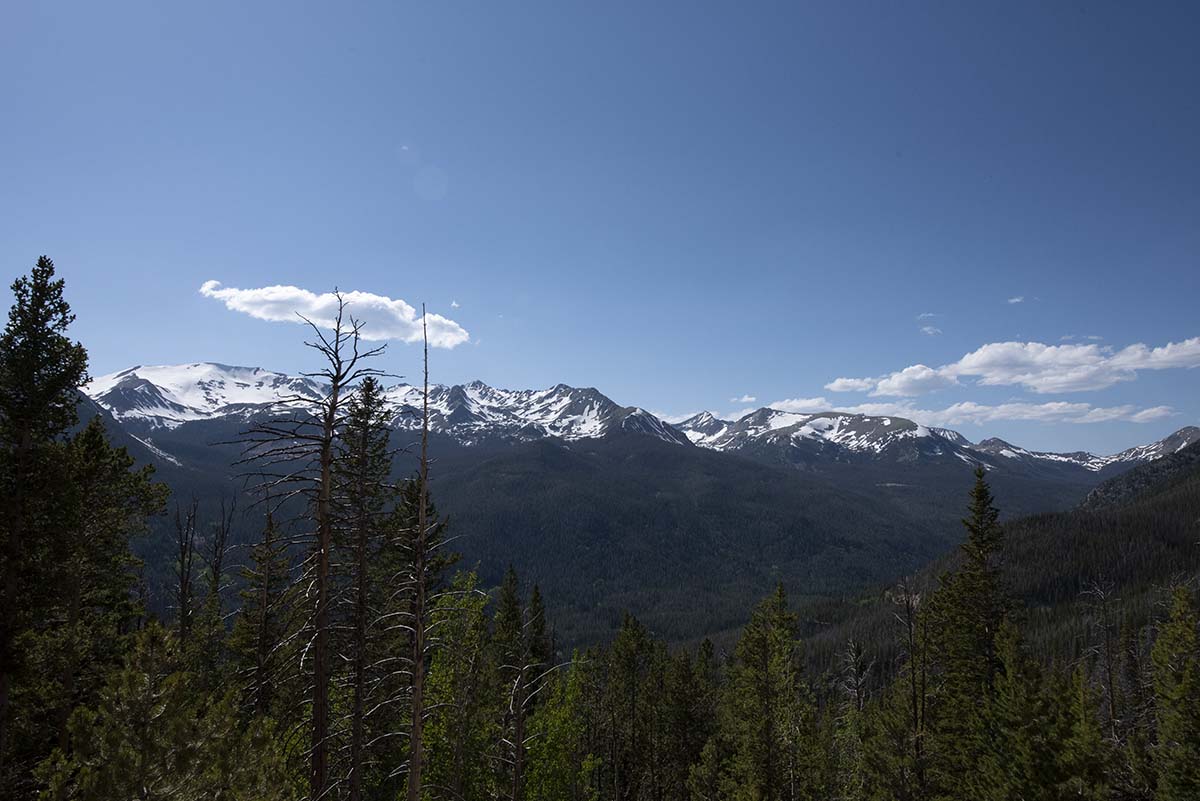 |
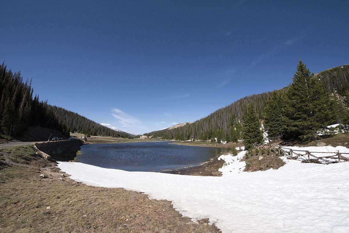 |
Poudre Lake rests high in the mountains, right next to the Continental Divide (literally: about 50 yards away). |
| I will have another encounter with the Continental Divide at Yellowstone in a few days. | 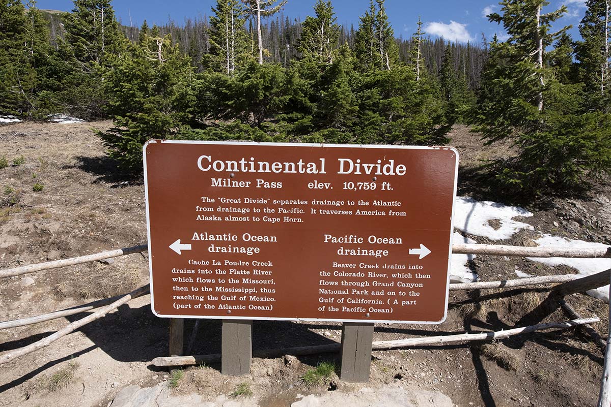 |
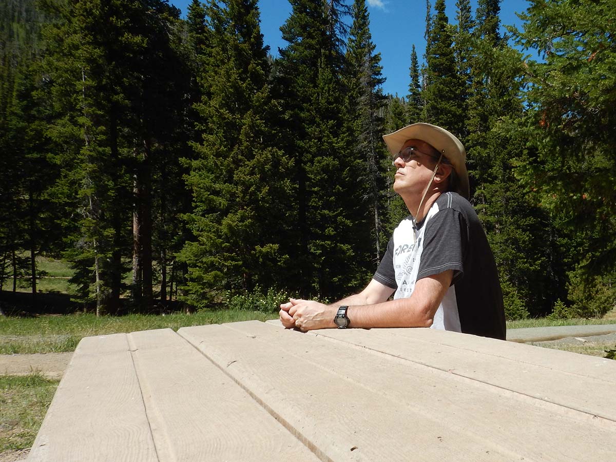 |
Tonight, I will have to ponder just what hike I want to do tomorrow, now that it’s my only full day in the park. So, here’s a picture of me pondering.(And yes, I staged this picture solely because I knew I’d end today’s journal this way.) |
Trip Report:
Miles driven today: 47.2
Total miles so far: 1020.1
