Day Twelve: June 21 (posted June 23)
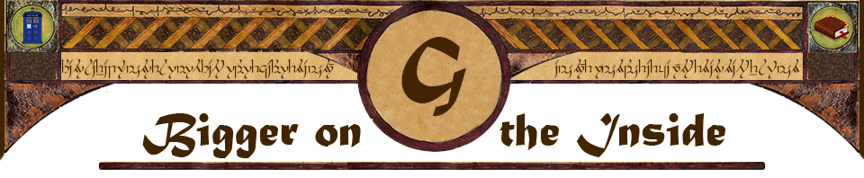
Besides exploring geyser basins yesterday, I also transferred from the Old Faithful cabin to one in the Lake Yellowstone area. This morning, waking up in my new headquarters, I found a buffalo grazing on the lawn outside.
A section of Yellowstone’s Grand Loop Road is closed for construction: the northeast section that climbs over a high pass above the treeline. What you see there is not much different from the comparable section of Rocky Mountain National Park, so I wasn’t bothered by having to miss it on this visit. But it does require a bit of back-and-forth along the rest of the road, since you can’t just take the loop all the way around.
So my plan for the day was to head north along Grand Loop, from Lake Yellowstone up to the canyon, then take the shortcut across to the west side and continue north up to Mammoth Hot Springs in the northwest corner. It was a cold and rainy morning, with dark threatening clouds overhead, but I got an early start anyway.
 |
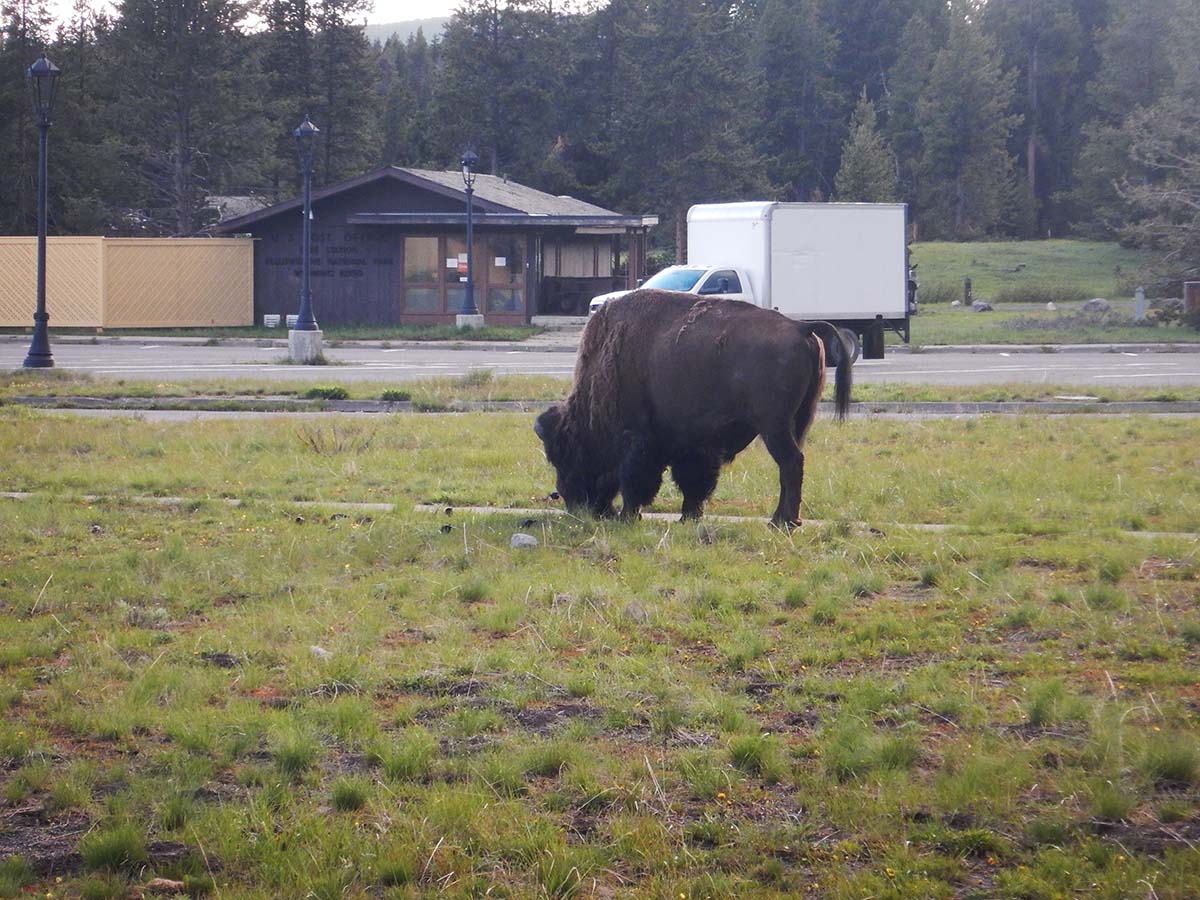
At the north end of the lake, the historic Fishing Bridge crosses the Yellowstone river as it flows out. “Fishing Bridge” is its name, not its function— although fishing is permitted in the park, it’s not allowed here! |
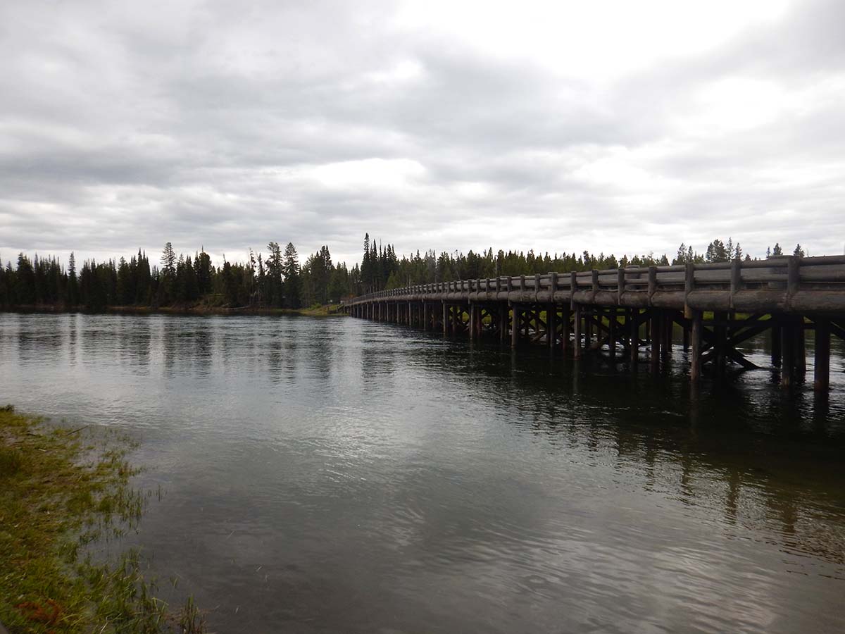
| Lake Yellowstone is the largest high-altitude (i.e. above 7000 feet) lake in the world. It’s completely natural, no manmade dam creates it. Its basin was formed partly by the caldera of the supervolcano eruption, and partly carved out by glaciers in the last ice age. |  |
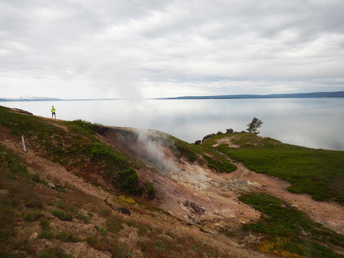 |
Yellowstone’s trademark thermal features are found around its shores, and along its bottom, which has been mapped by remote-controlled submersibles (there’s no way to get a manned submarine into it). Much like deep-sea hydrothermal vents, Lake Yellowstone’s underwater hot springs support their own unique ecosystems of organisms that draw energy from the minerals in the springs. |
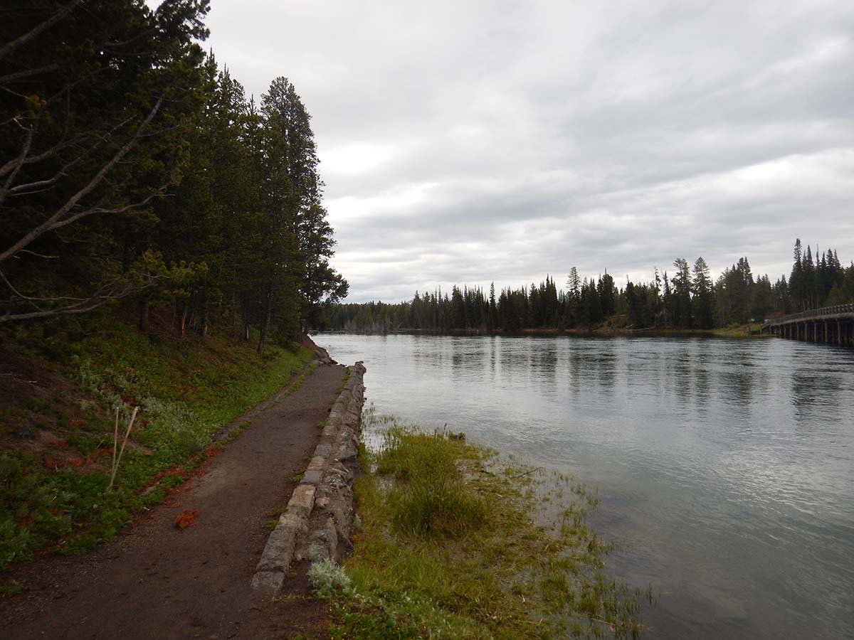
The lake’s outlet is the Yellowstone river, which leaves the lake as a broad and slow-moving stream.
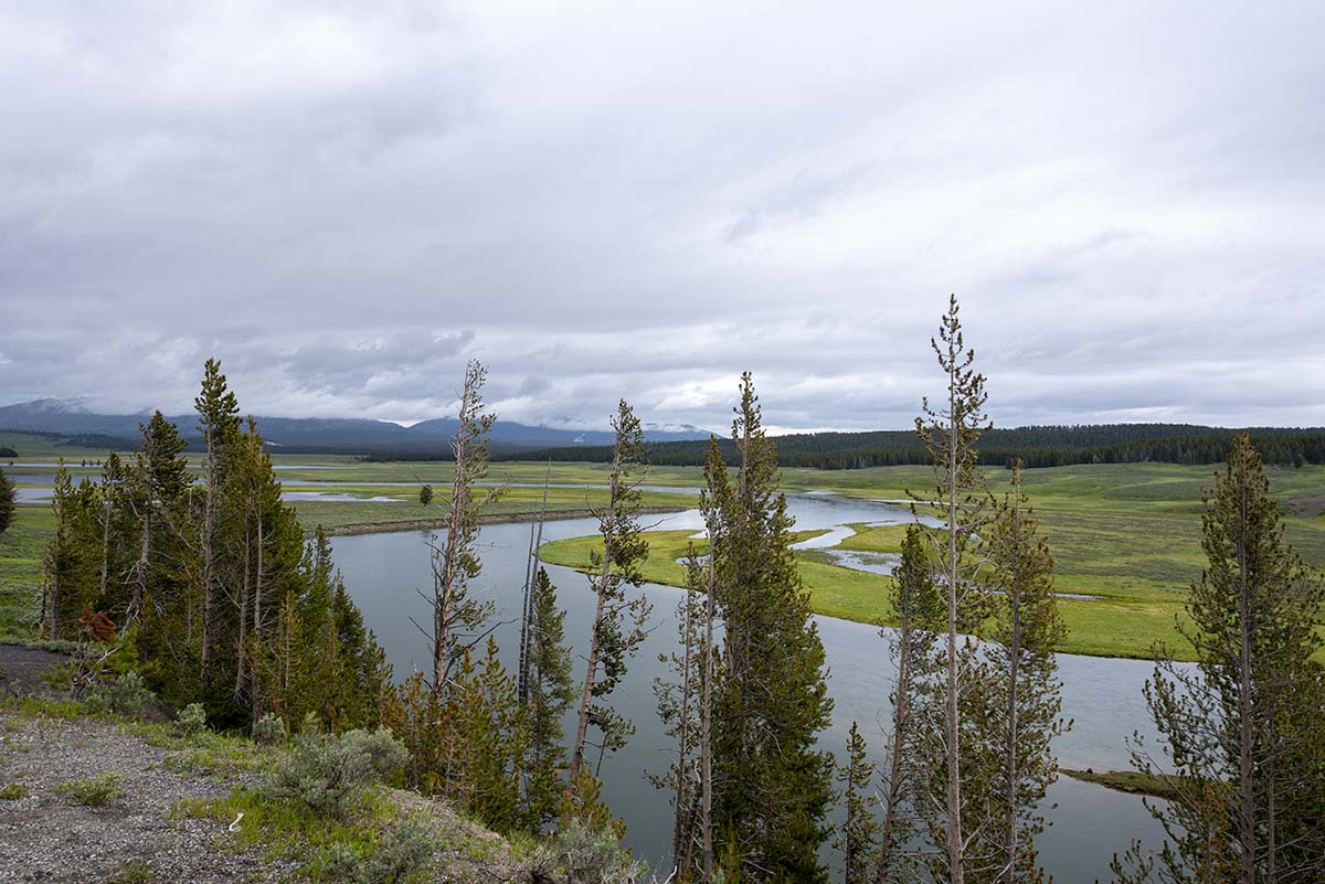 |
It meanders over broad plains, like here in Hayden Valley. |
| Occasionally picking up speed when its path narrows, like here at the LeHardy Rapids. | 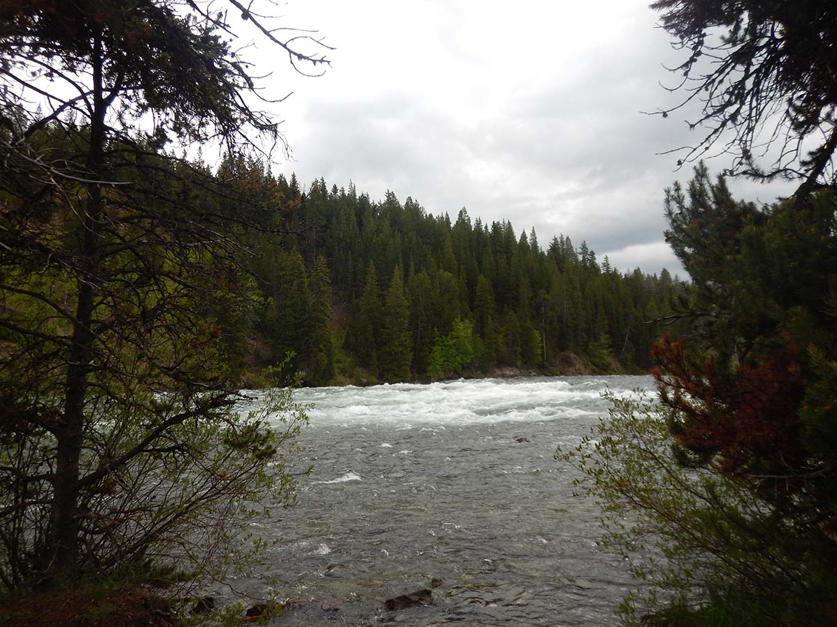 |
But on the whole, you’d think it was a pretty peaceful, broad river. But you wouldn’t want to be innertubing down it, because all of a sudden it comes to this:
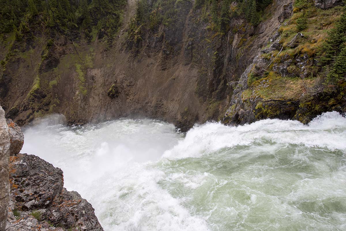 |
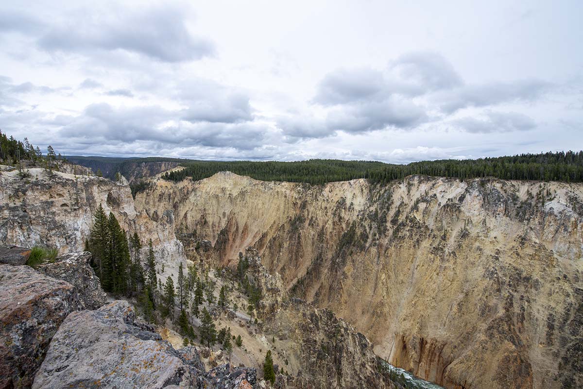
The Upper Falls, first of two massive waterfalls that send the river plunging down into the Grand Canyon of the Yellowstone. |
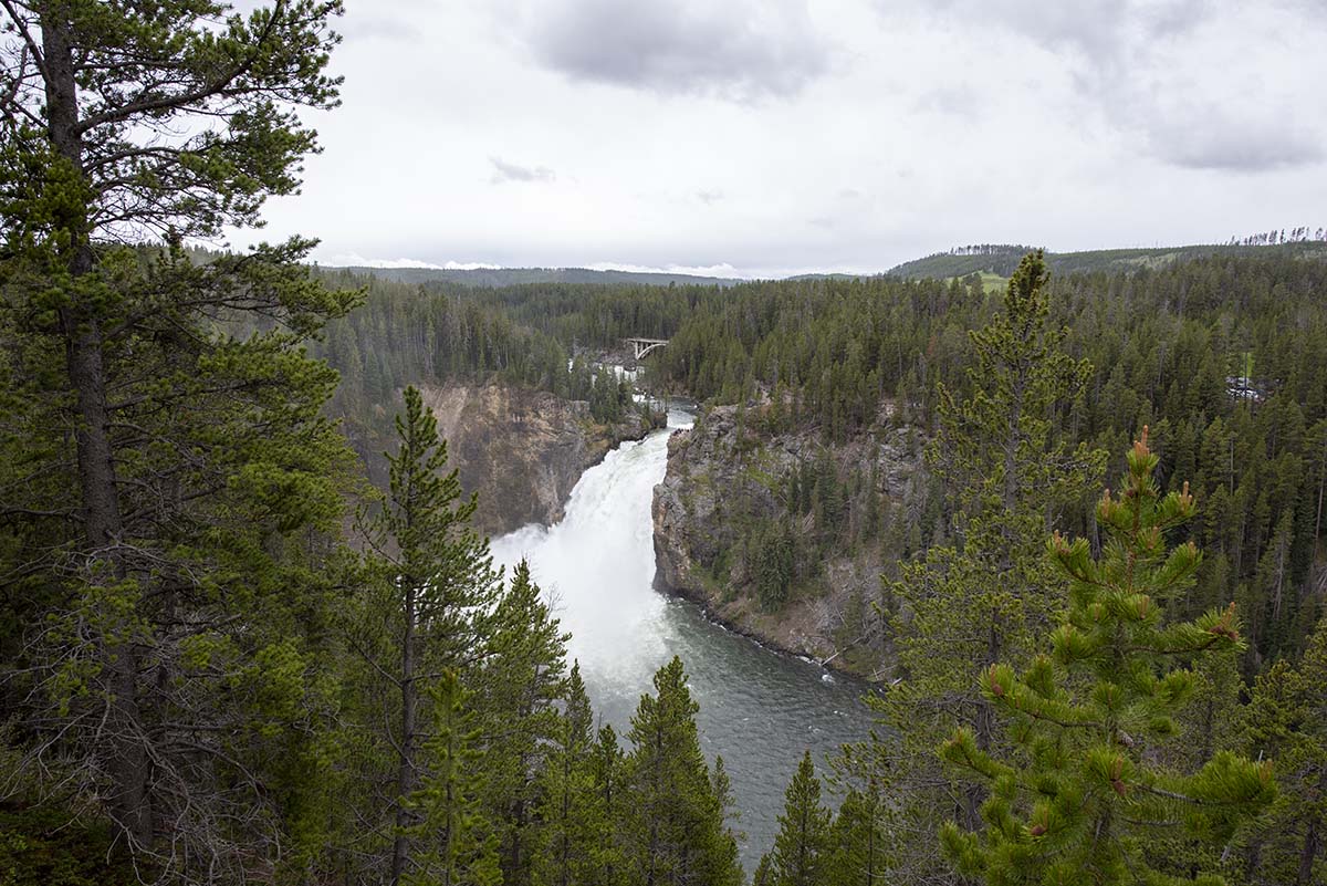
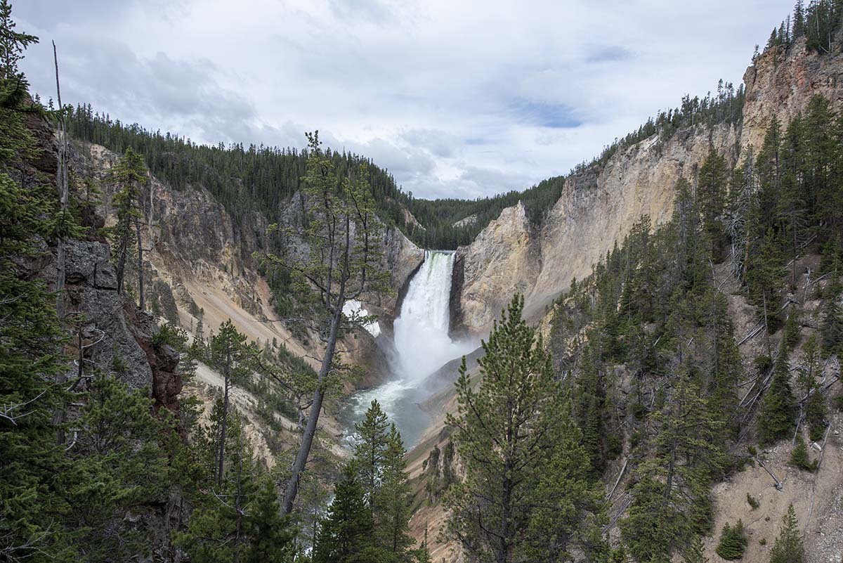
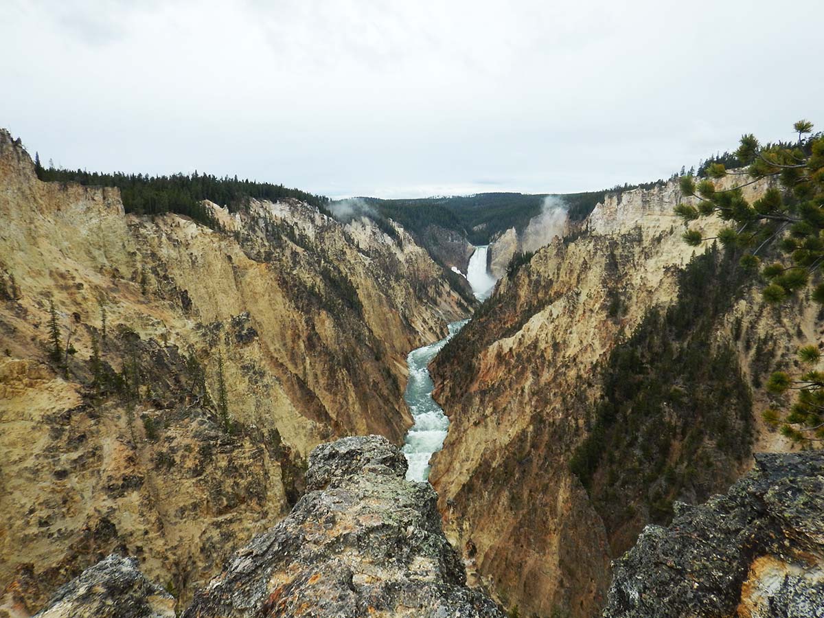
The second plunge, over the Lower Falls, comes up not much farther downstream.
 |
 |
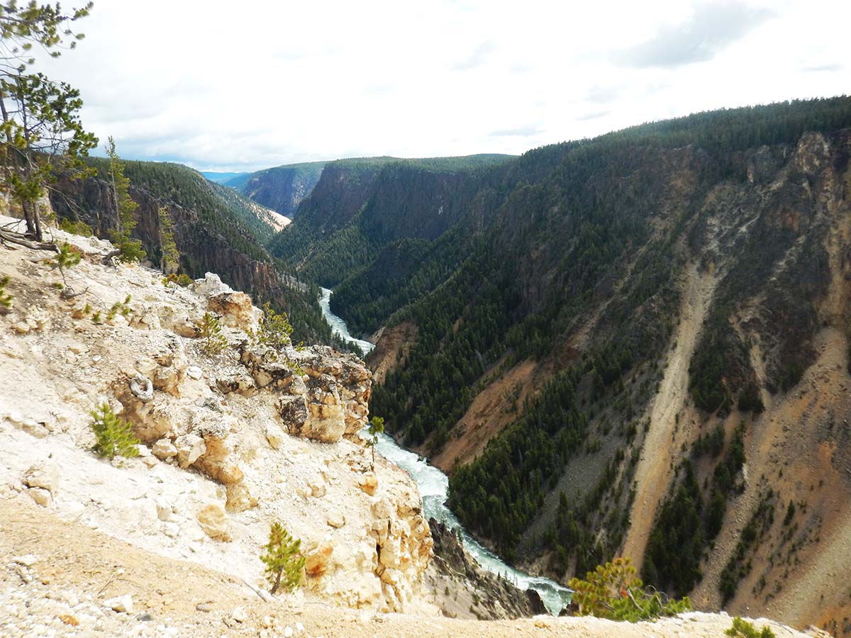 |
The canyon cuts down through a volcanic mineral called rhyolite, laid down by the supervolcano eruption, and then chemically altered by the hydrothermal activity in the area to give it its yellow color. That color in turn gives the river its name, which it had long before explorers seeking the source of the Yellowstone found the canyon. The distinctive yellow minerals can be found for hundreds of miles along the river’s course. |
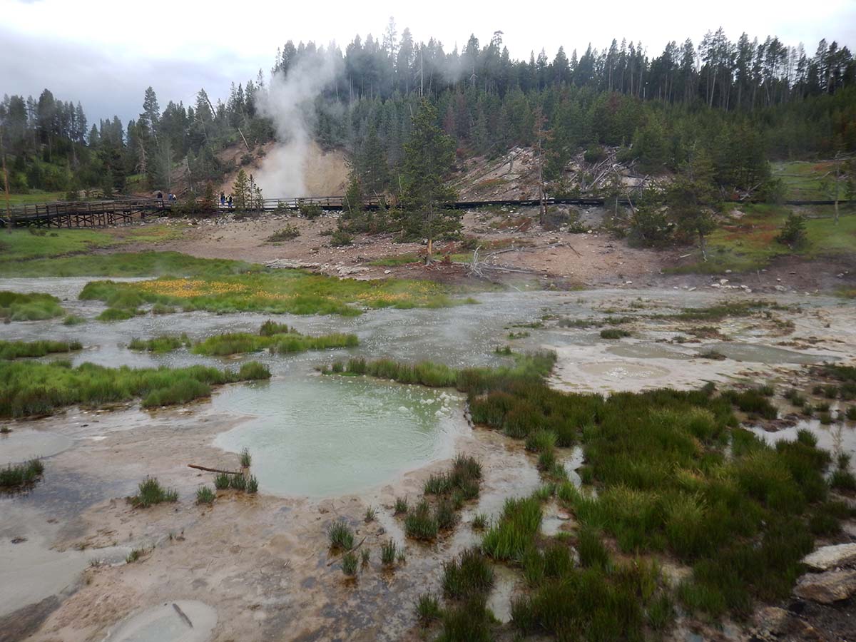
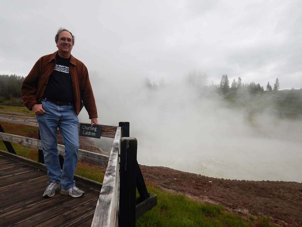
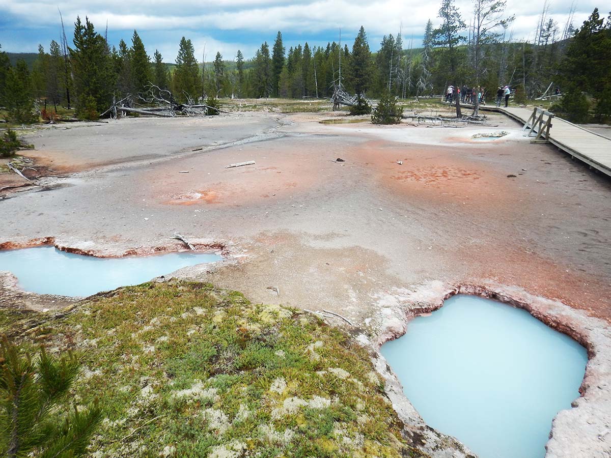
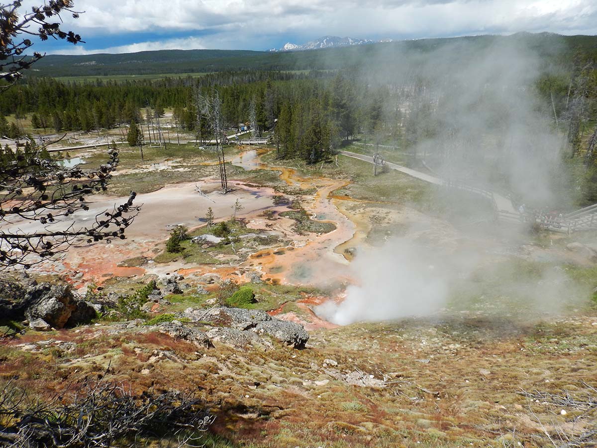
Along the road from the lake to the canyon lies another thermal area, the “Mud Volcano.”
 |
 |
The actual Mud Volcano (above right) doesn’t look much like a volcano today. When it was discovered by the Langford expedition in 1870, it looked like a classic cone volcano in miniature, with boiling mud erupting from its peak, and so they named it. Two years later, another expedition found it had blown itself to pieces, leaving the pool it is today.
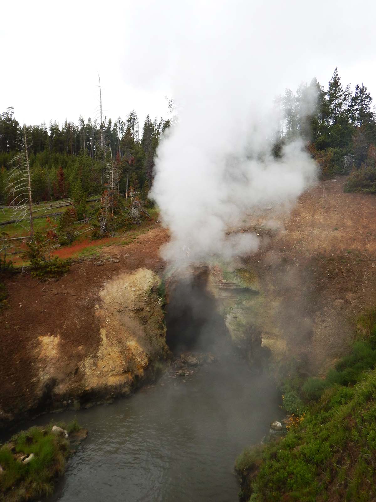 |
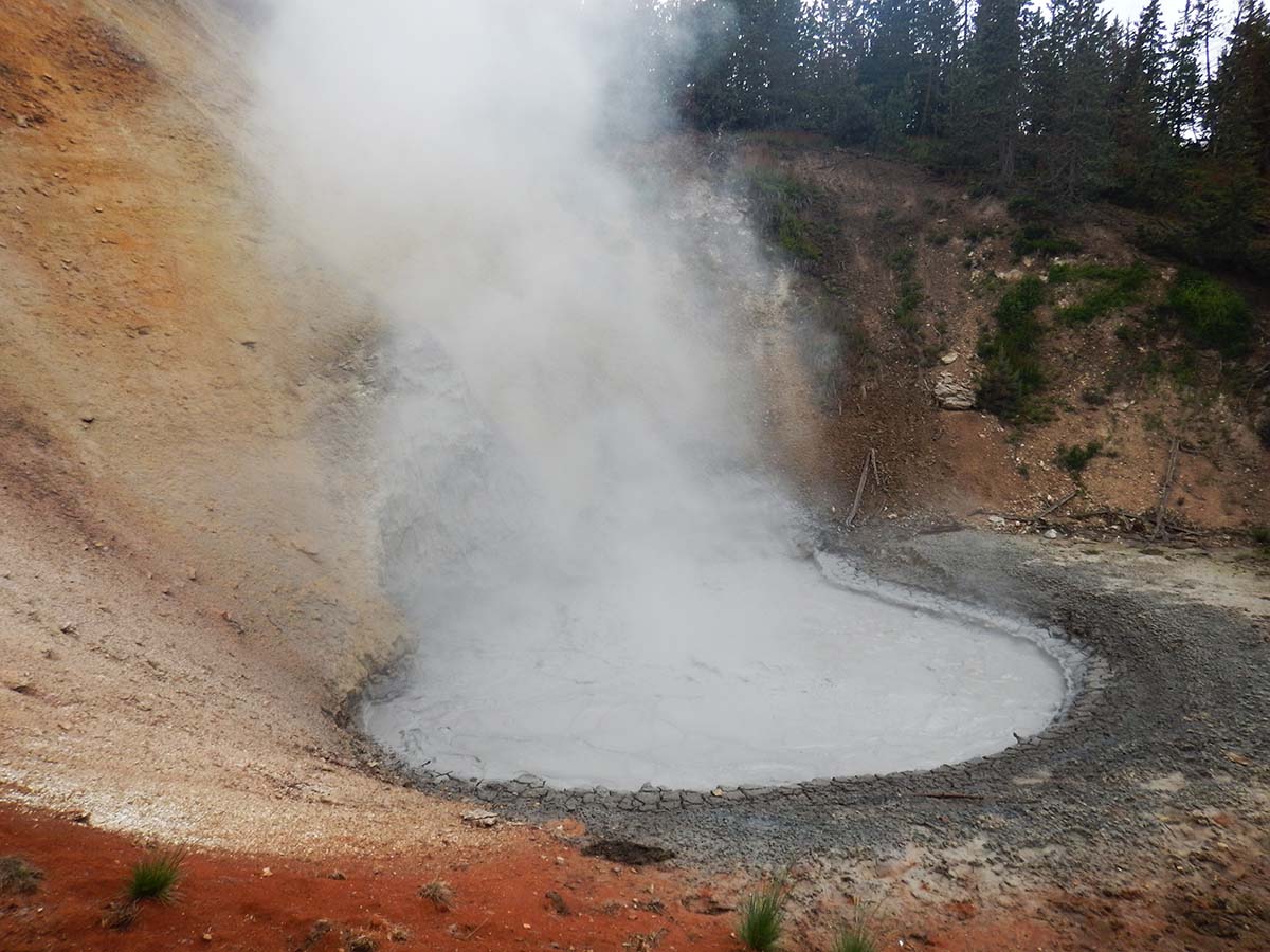
Black Dragon’s Cave is so named venting steam in the echo chamber of the small cave sounds makes a low roaring exactly how you’d expect a dragon to sound. It has settled down a bit since I was last here: the pool below the cave mouth used to churn constantly with large waves crashing out of the cave. Today it’s mostly still. The dragon’s roar is still going on, though. |
| “Cooking Hill” doesn’t look like much now, but it has a story behind it: it used to be entirely tree covered. Then, after an earthquake in the late 70s, the ground temperature all across the hill rose above 200 degrees, killing the trees, which fell as their roots burned away and the whole hill steamed. Since then it’s subsided and grass has grown over the hillside. | 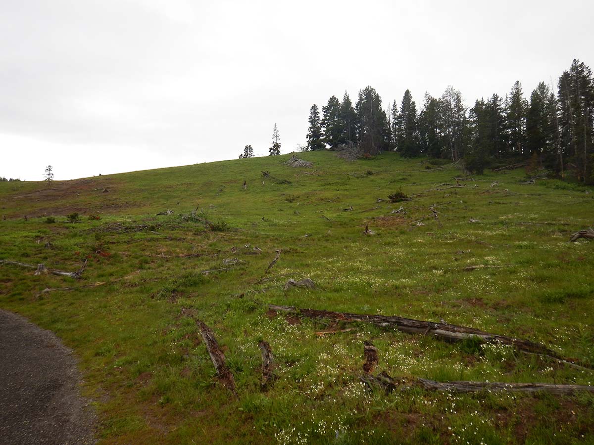 |
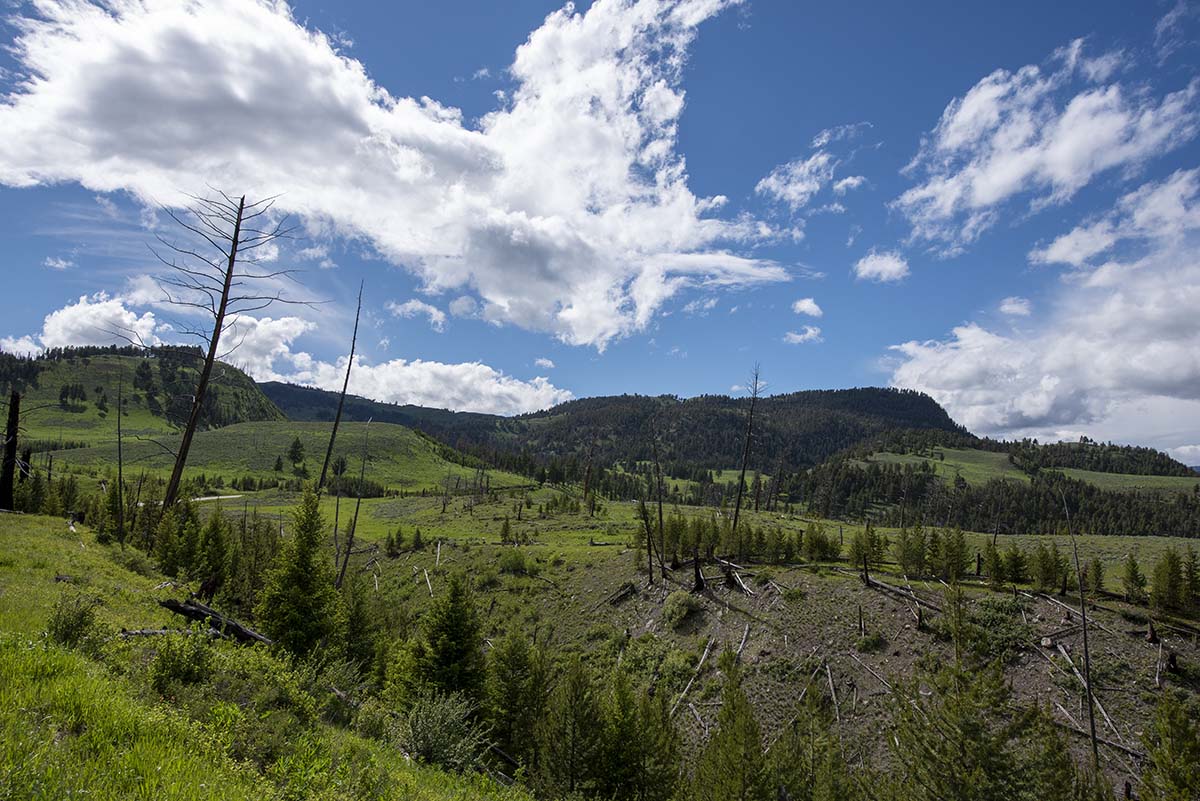
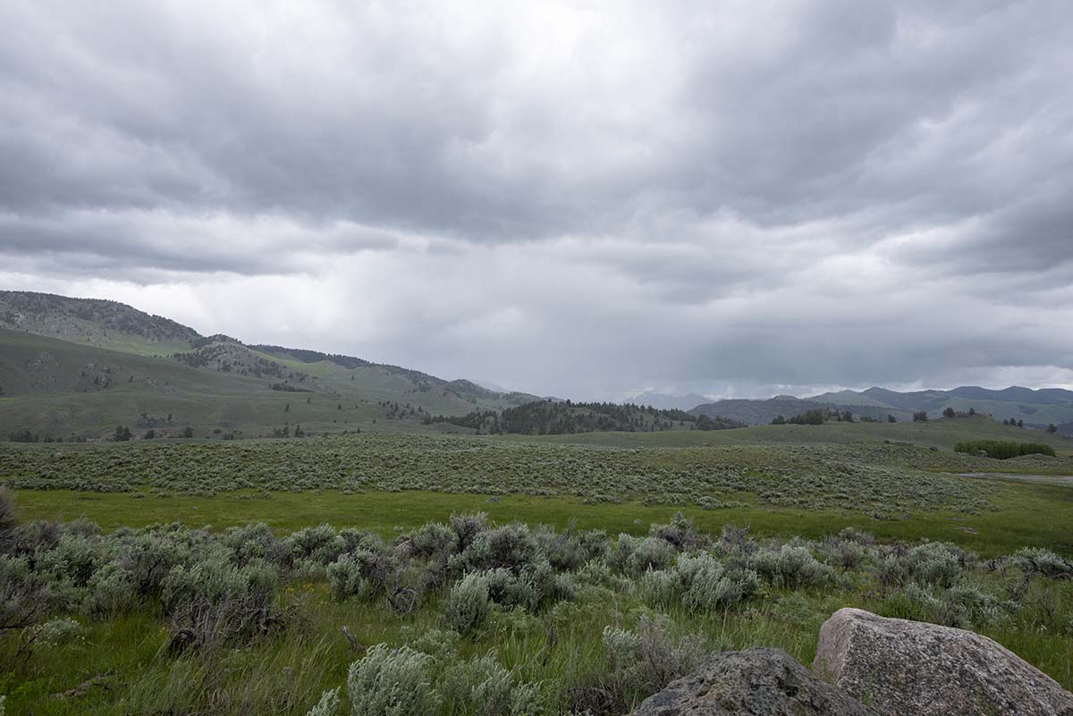
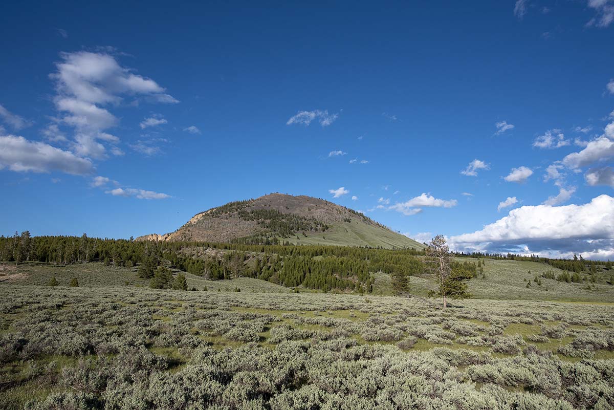
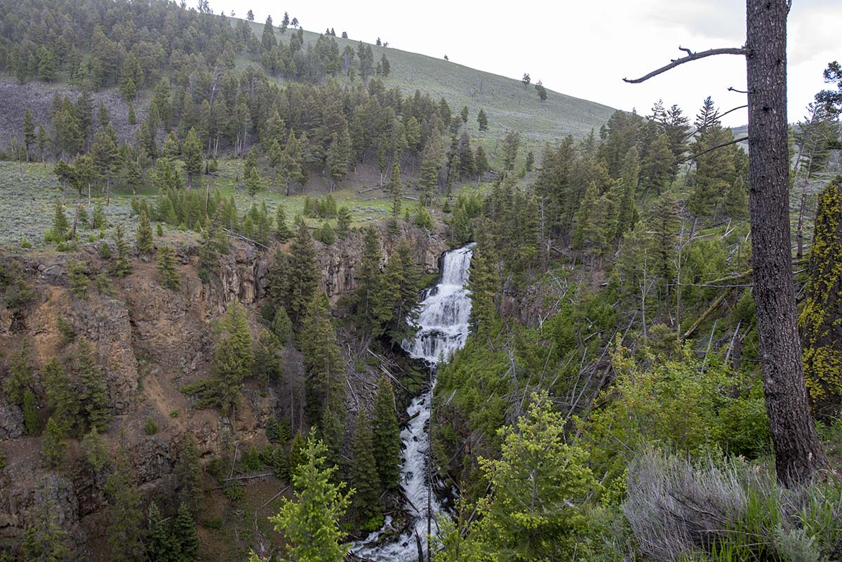
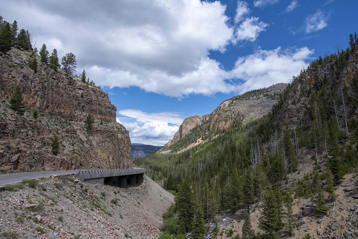
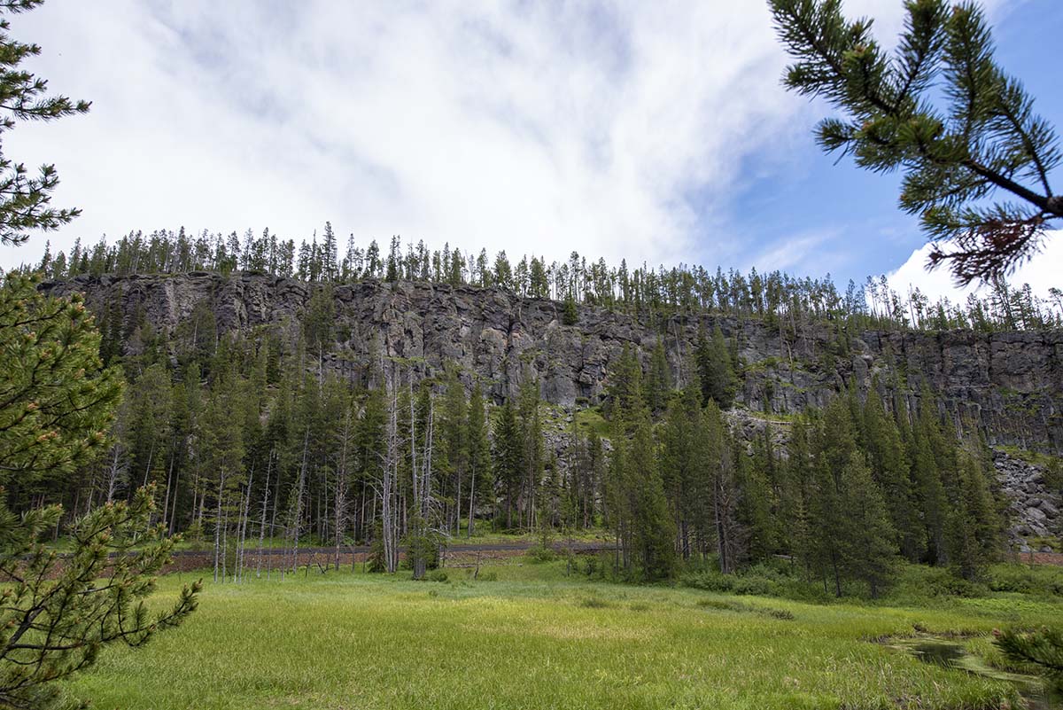
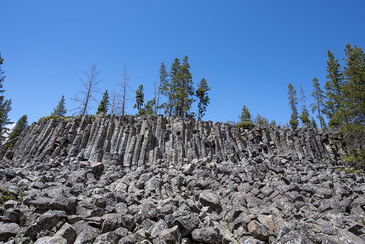
By the time I was done with the Canyon and Mud Volcano areas, the sun was starting to come out. Through the afternoon, periods of sun and warmer temperatures alternated with thunderstorms rolling through, lasting a few minutes and then clearing up again. Here are some pictures along the way as I drove on up toward Mammoth.
 |
 |
 |
 |
 |
The “Golden Gate.” In its early years, the park’s north entrance was the main route in, and building the road through here was the most difficult feat in its early development. A wooden bridge stood here in the late 1800s, and was fragile enough that stagecoaches were warned to “walk your horses” along it. |
| You think you’re pretty far north in Yellowstone. You’re really only halfway. | 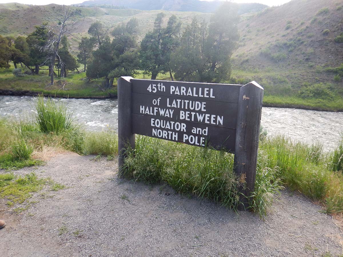 |
 |
 |
I’m starting to realize how much I did on this particular day… this is getting to be a pretty long blog post and I’m not done yet.
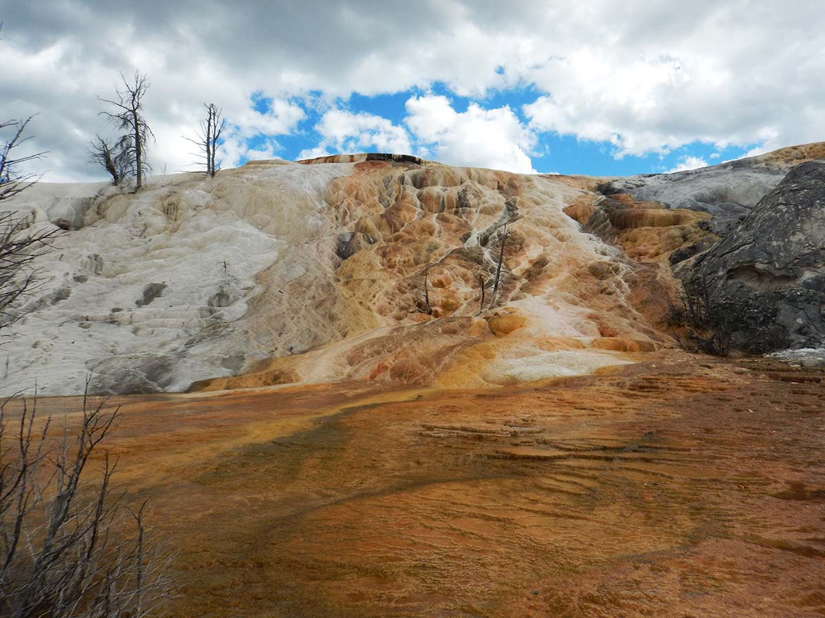
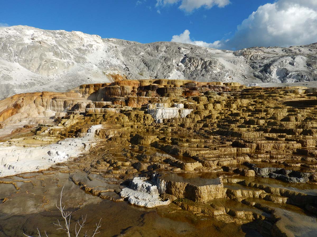
In the northwest corner of the park is Mammoth village. When Yellowstone first became a national park (the first in the world) in 1872, there was as yet no park service to operate it. It was the US Army that was given the responsibility, and the Army’s camp was here at Mammoth. Park headquarters is still here, along with a cluster of historical buildings reflecting the earliest history of the park.
I did not take a picture of any of it. I went to look at Mammoth Hot Springs instead, the reason why the Army set up park headquarters here and not somewhere else.
 |
 |
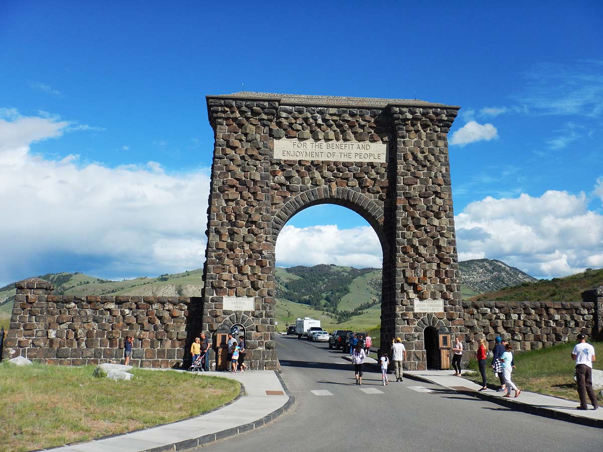
After Mammoth Hot Springs, I drove up to the north (original) park entrance. The archway here quotes the legislation that established Yellowstone as the world’s first national park for “the benefit and enjoyment of the people.”
I had dinner outside the park in Gardiner, Montana, the town right outside the north entrance. After that, I still wasn’t done: it’s the longest day of the year and there’s plenty of sunlight left!
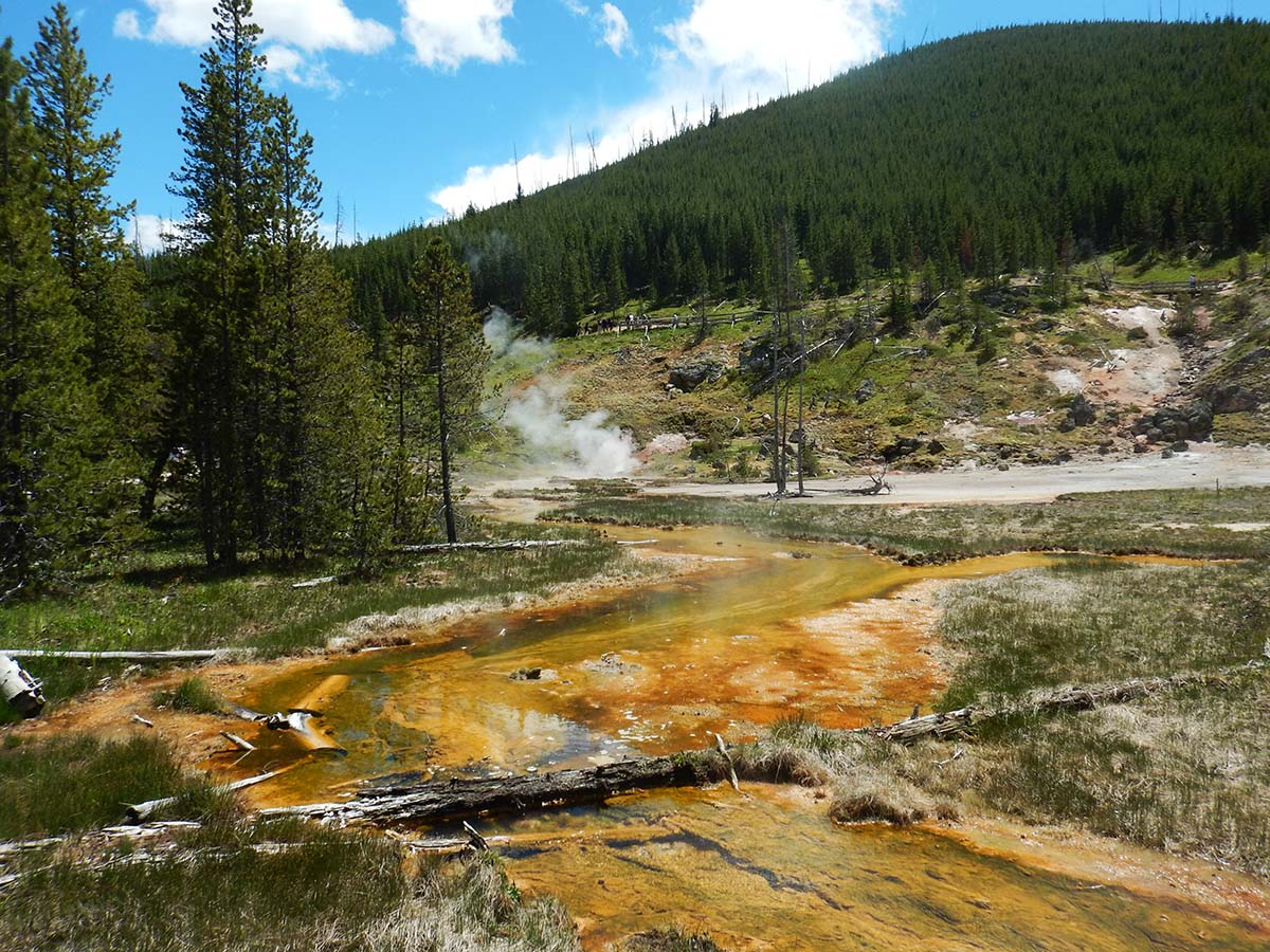
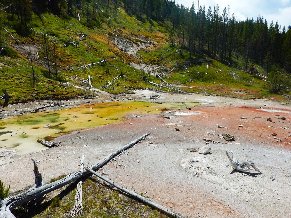
I had earlier tried to see another thermal area, “Artist’s Paint Pots,” but a line of cars half a mile long to get into the parking lot changed my mind. On my drive back south, with evening coming on, the crowds had mostly dispersed and I had a look.
 |
 |
 |
 |
Finally, at the end of a long day (and a long blog post) I headed back to my cabin on Lake Yellowstone. Only one day in Yellowstone left.
Look at today’s mileage— that’s how big Yellowstone is. But it’s not like you’re having to spend time driving from one sight to another; every hundred yards of the drive is a sight to behold in its own right.
Trip Report
Miles driven today: 199.2
Total miles so far: 2344.7
