
Day Eighteen: June 27
An absolutely spectacular drive today, from Bryce Canyon to my new hotel near Capitol Reef National Park— and I might easily have missed it!
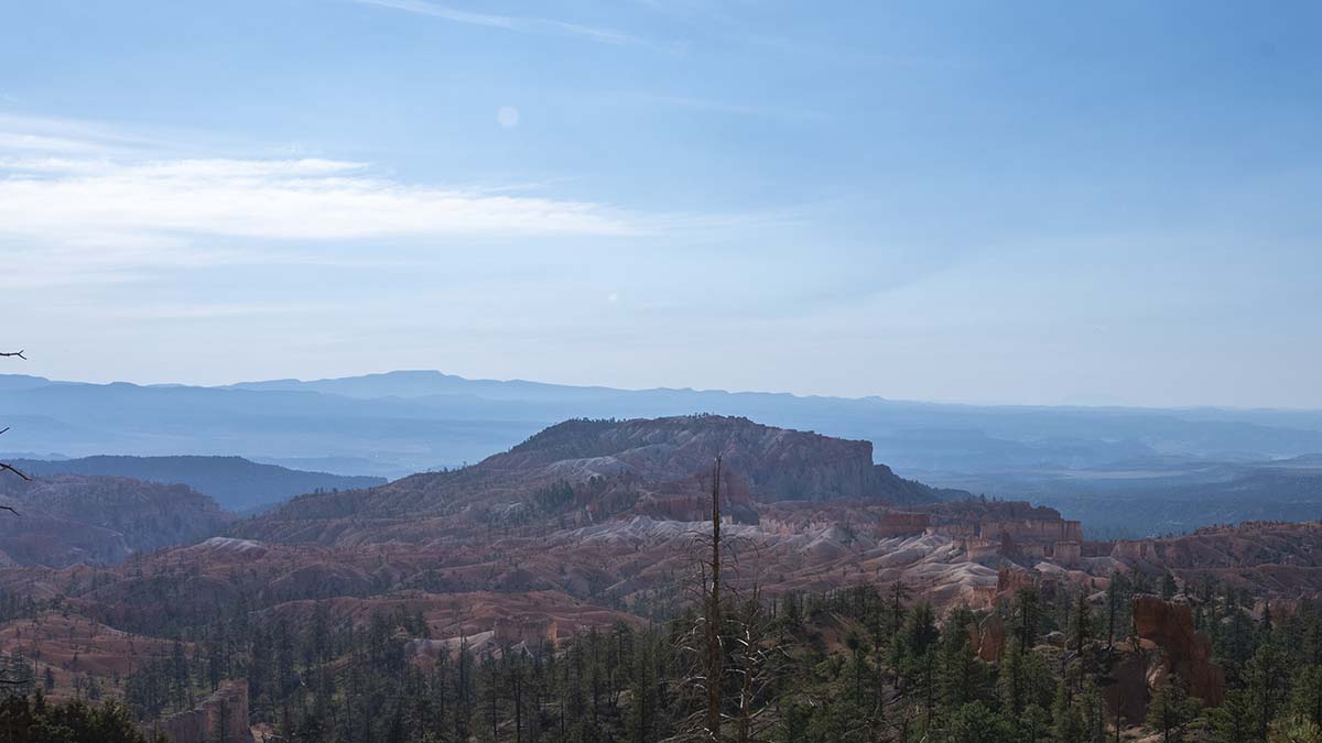 I got a prompt start to the day, beginning with a last look at Bryce Canyon from an overlook called Sunrise Point. I say “prompt start” but I was too late to actually see the sunrise from here— but it was prompt by the schedule I’m keeping on this trip overall.
As I headed out, my car’s GPS wanted me to turn left at the highway, while a sign showed Capitol Reef National Park to the right. I took a look at the route, wanting to figure out the contradiction, and found the GPS was directing me to an interstate that would get me there quicker, while the road sign pointed along Utah’s highway 12. I was in no hurry and figured staying off the interstate would be more scenic, so I turned right.
And it was a good decision! Highway 12 wound its way mostly inside Grand Staircase-Escalante National Monument, which sprawls across a huge area of the map. I only learned from an info sign after the drive was over that Utah Highway 12 has been named the most beautiful highway in North America, and second most beautiful in the entire world! I don’t know who made the rankings, but I’m not prepared to disagree (except perhaps to wonder if it’s really possible for whatever highway came first in the world to beat it). And if I’d just let my GPS lead me to the interstate, I’d have missed it!
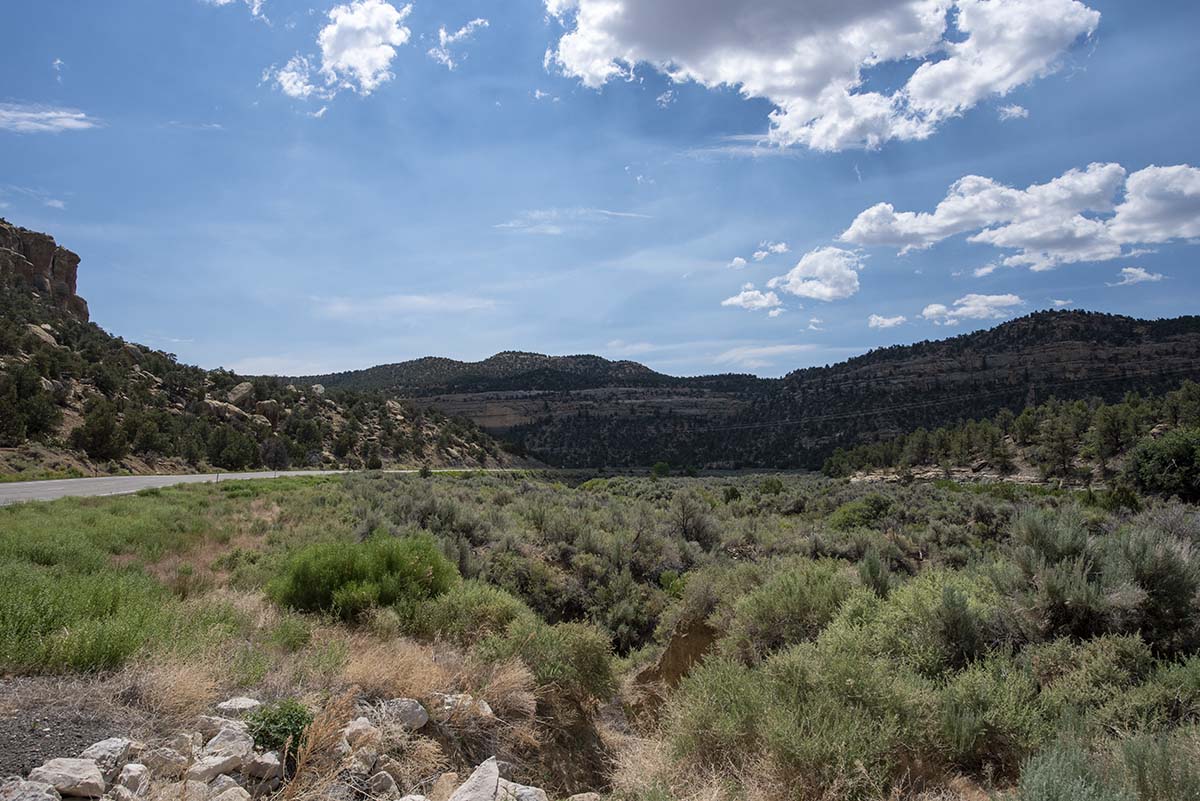 |
I’m afraid I can only tease you with that, because I didn’t get nearly as many photos as I’d have liked. At times I regretted having put away the GoPro’s dashboard mount, although really most of what I wanted to photograph was off to the side. |
| So I guess what I really regret is that there weren’t more scenic turnouts and overlooks. Since the road was inside the National Monument, the park service had put a number of displays along the way, but it’s still a state highway and not a park road. So I mostly just had to keep reminding myself “I’m seeing it, that’s what matters, pictures are secondary.” But that doesn’t help my blog readers much. | 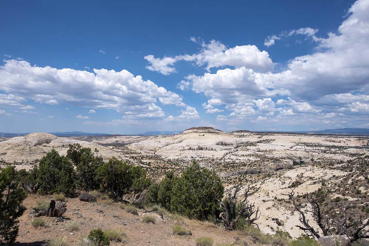 |
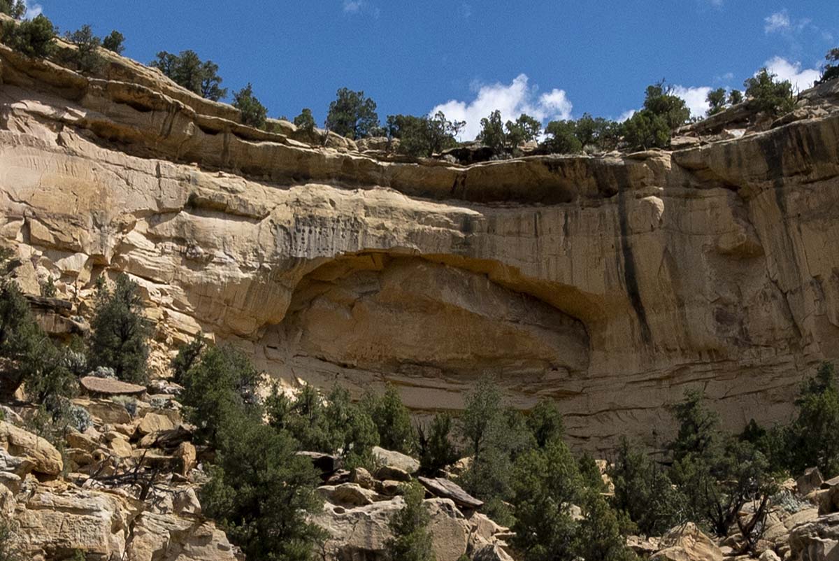 |
It’s hard to spot, but there’s an archaeological site here: an Ancestral Puebloan granary is built into the cliff. Look close (click on the thumbnail to see the full size image), it’s at the lower right corner of the arched hollow in the cliff. |
| This whole area was the last part of the North American continent to be mapped, it wasn’t until 1873 that the final blank spot on the maps was filled. The region pictured here was considered impassable— it’s crisscrossed by steep canyons and gullies— until the Civilian Conservation Corps (CCC) of National Parks architecture fame managed to build highway 12 in the 1930s. | 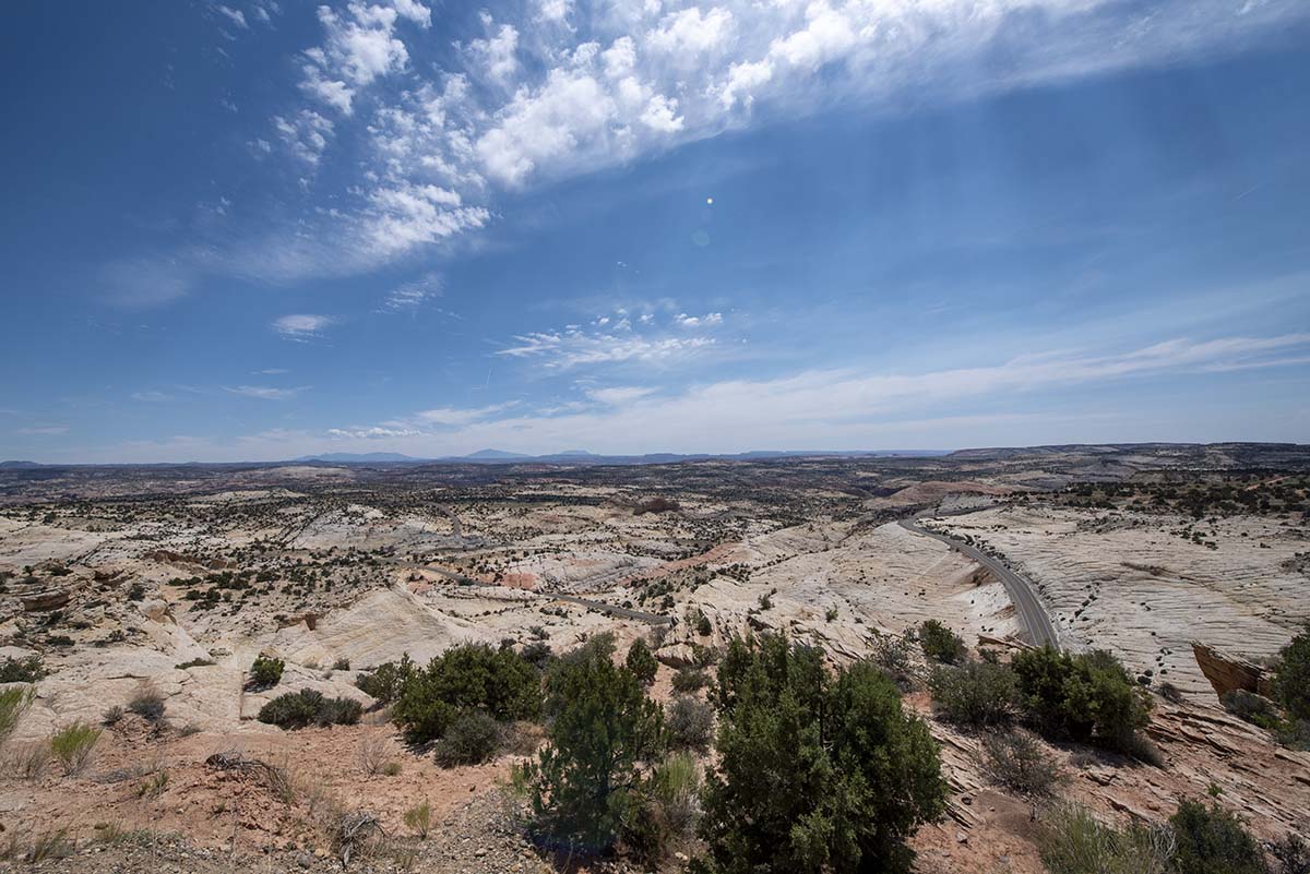 |
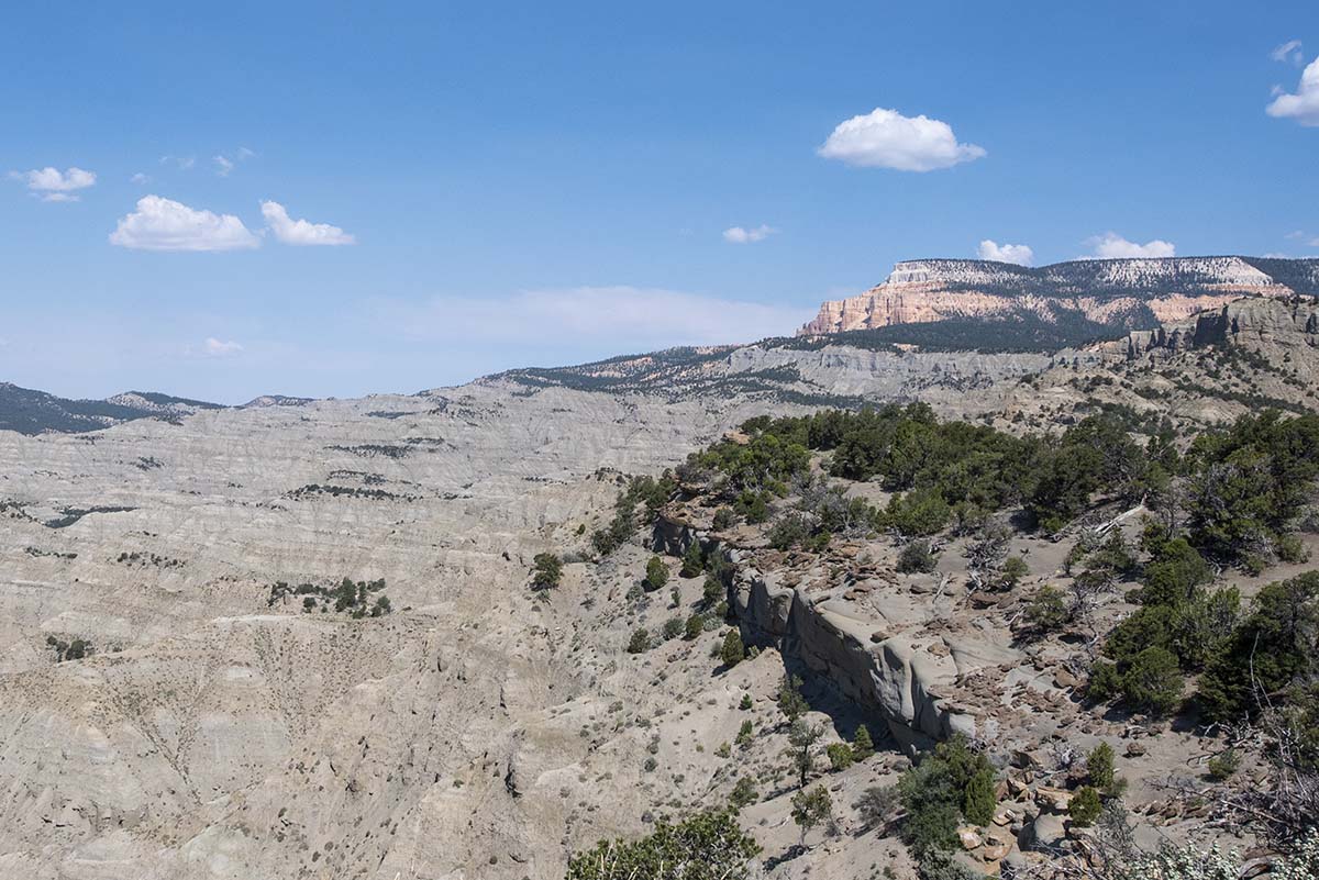 |
Further down the staircase. The pinkish peak in the background shows the top layer, the same strata that Bryce Canyon is made of. The foreground gray layer is softer, easily eroded into rounded hills on which trees grow thickly (in areas with more water). The gray layer is rich in dinosaur fossils. According to the park service sign, Tyrannosaurs, Velociraptors, various horned dinosaurs such as Triceratops— in fact more than 100 species— have been discovered in this layer of sediments. |
| The Escalante River runs through the area, creating an oasis in the desert where beaver and even river otters are found. | 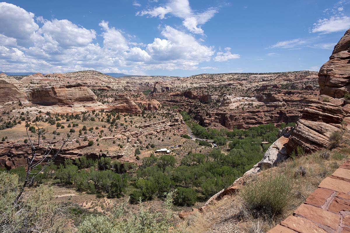 |
After the spectacular drive along highway 12, would Capitol Reef be able to stand out?
Well, does a National Park ever disappoint?
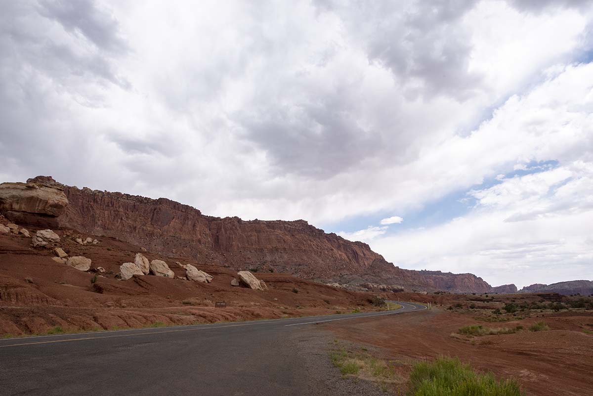
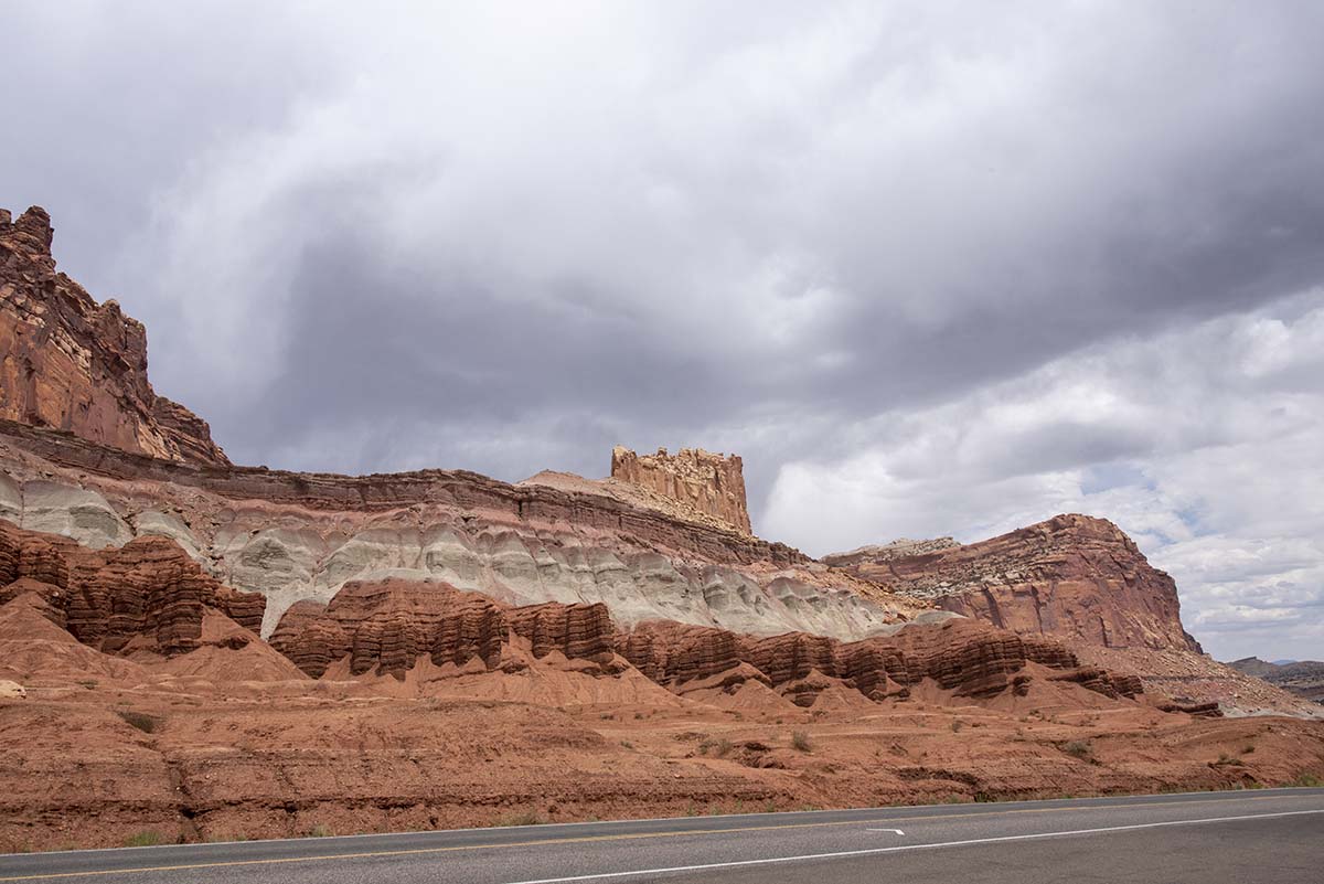
You might think Capitol Reef is so named because it’s a fossilized reef from the time of the inland sea. But it isn’t. The park encompasses a geological formation called the Waterpocket Fold, a line of cliffs and canyons running north-south which once created a major barrier to east-west travel in southern Utah. Early prospectors called such obstacles reefs, after the hazard coral reefs pose to ships at sea. This one became Capitol Reef because some of the rock formations reminded them of the dome of the US capitol building.
I arrived in plenty of time to take a look around, and I took tons of pictures. But thunderstorms were threatening and so the lighting wasn’t so good. I hope to get better pictures in sunlight tomorrow so I won’t go over all those I took today. Here’s just a few, as a preview.
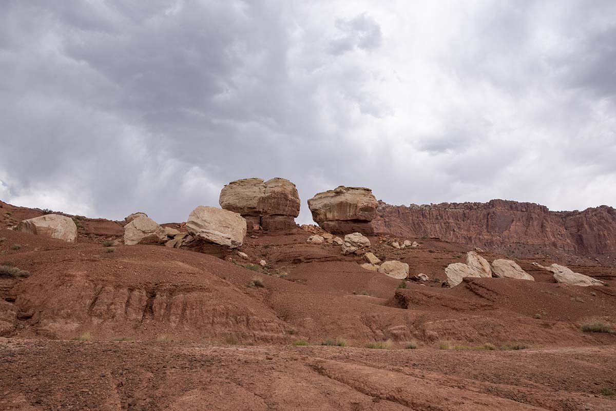 |
 |
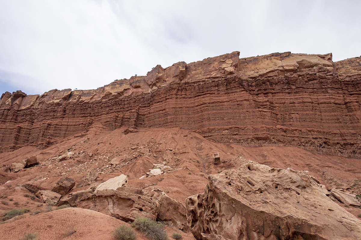 |
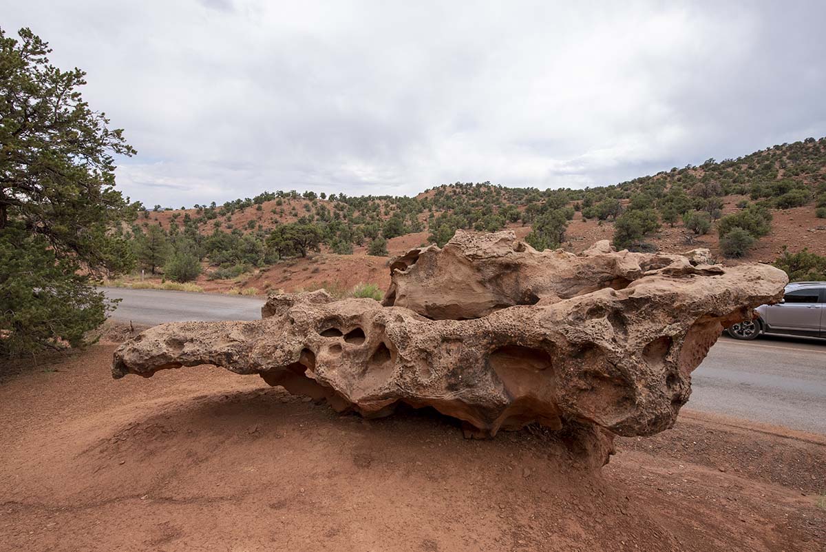 |
About those thunderstorms… this morning before leaving Bryce Canyon, a fellow at the General Store mentioned the region was heading into its “Monsoon season.” Monsoon might be a bit of an exaggeration for a season of short afternoon thunderstorms, but then again any rainy season is significant for a region that gets none most of the year, and I later saw the same term used in one of the park service signs about the local ecosystems. So it appears the reason I’ve had no luck finding a clear night to take a star picture is that I’m here at the wrong season. But I’ll keep checking, and hopefully I’ll get lucky before the trip is over.
Tomorrow I’ll give Capitol Reef a more thorough going-over, and I plan to pick out a hike or two.
Trip Report:
Miles driven today: 157.7
Total miles so far: 3643.1
