
Day Nineteen: June 28
I had an initial plan for three short(ish) hikes today, but I tired myself out with a misadventure at the start and only did two and a fraction.
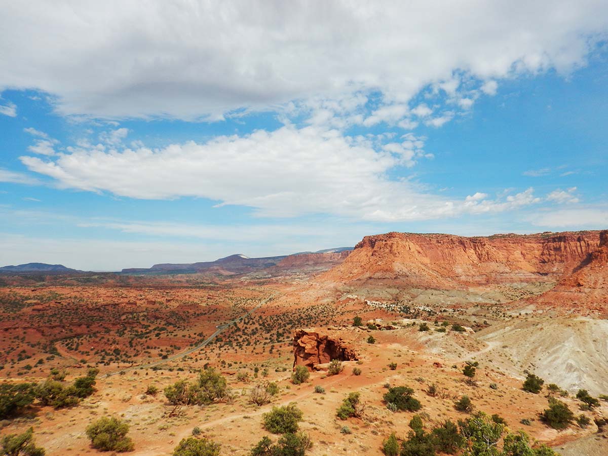
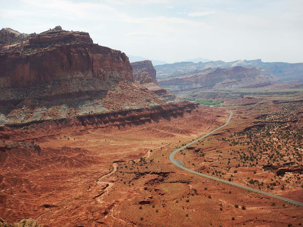
The day was cool and cloudy as I got started and drove to my first planned hike, the Chimney Rock Loop trail, so named because the trailhead starts at the base of the Chimney Rock formation, and it leads to an overview of the formation higher up.
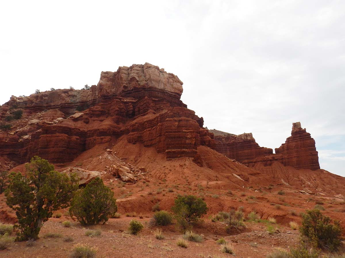 That’s Chimney Rock on the right. The trail, as described by the guidepost, begins with a steep climb up to the plateau to the left, then makes a long mostly level loop around the plateau before returning to head back down the way it climbed up.
When gearing up for the hike I wondered how much water to take. Just my water bottle, or should I fill up my “Camelbak” backpack (a backpack canteen that holds a lot more water than a bottle, and yes the brand name is spelled leaving out the “c” in “back.”). Because of the cool, cloudy weather, and the overall length of the hike, I decided the water bottle would do.
Well, that turned out to be a mistake. I underestimated the difficulty of the initial climb, the sun came out, the temperature rose fast, and what with all that I drank a lot more water than I expected— and found myself turning over an empty bottle right around halfway through the loop, i.e. as far from getting back to my car as I could be.
That’s not just an uncomfortable mistake, it’s potentially a dangerous one. But there was nothing I could do about it at that point. My trail map showed I was a little bit past the halfway mark, so the shortest route back was to go forward and complete the loop. Fortunately I’d already done all the strenuous uphill of the trail.
Well, from the fact that I’m writing this blog post you can figure out that everything turned out okay. But I was not a happy camper when I got back to my car and chugged about a liter of Gatorade in one swoop. Suffice to say, I won’t make that mistake again. From now on it’s the Camelbak for any hike longer than a hundred yard walkway to a scenic overlook.
Despite the misadventure, I did shoot plenty of pictures on the hike (more before my water ran out than after). Here are some:
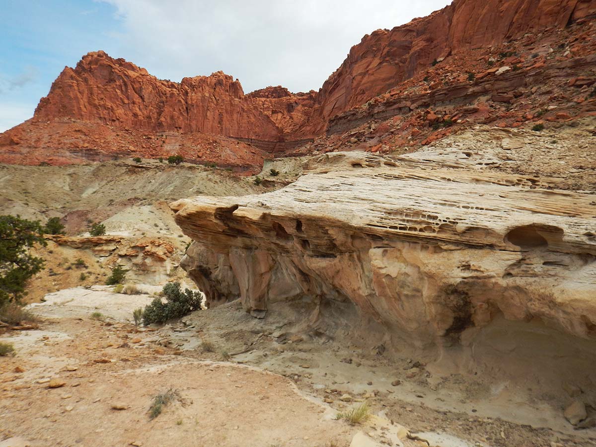 |
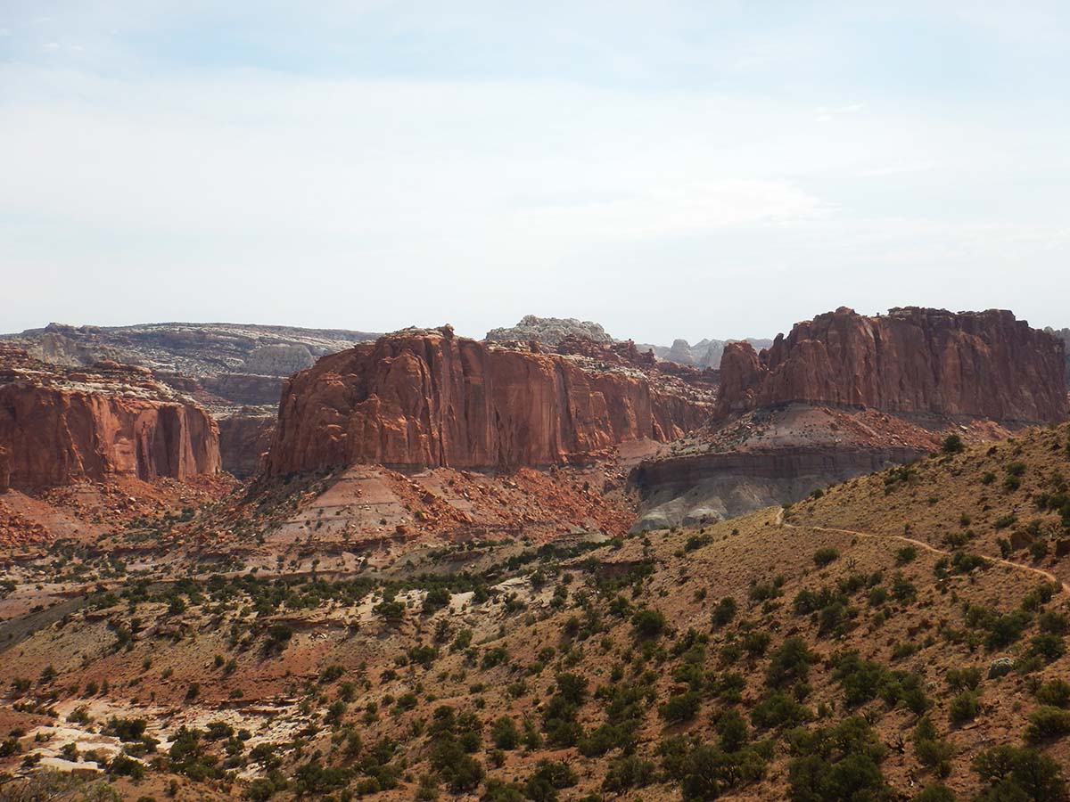
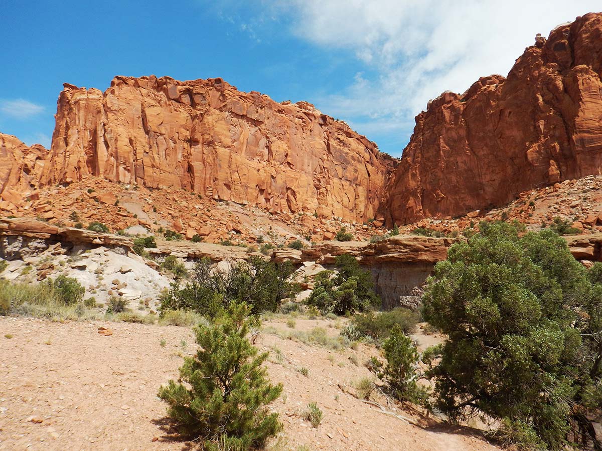
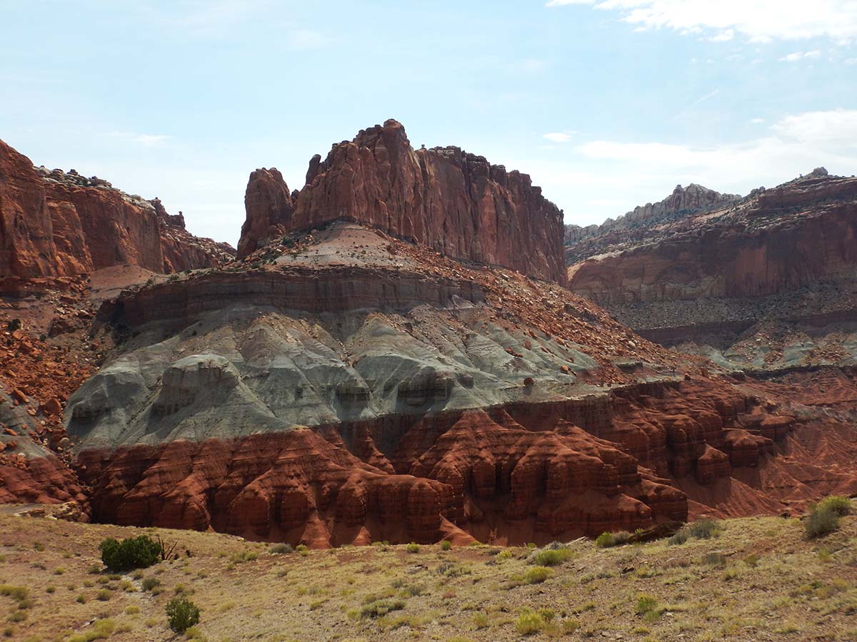
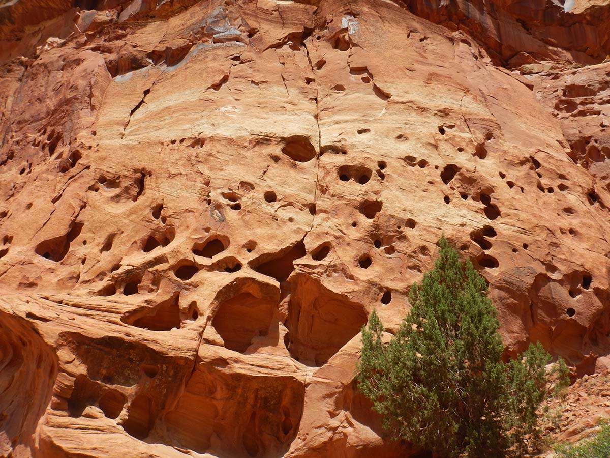
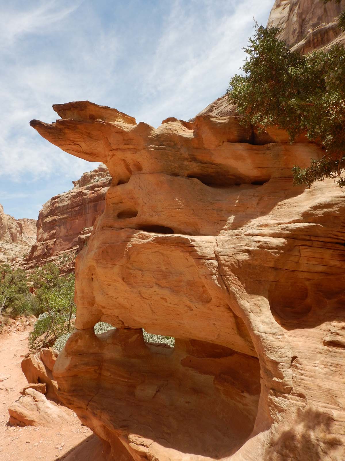
It’s amazing the different ways erosion has affected the different types of rocks and sediments. |
| The sedimentary layers you see from a distance across a whole cliff face are reproduced at the fine scale as well, with this 6-inch-thick layer of stone divided into layers of its own. What length of time do these fine layers represent? A century? A year? One particular day when a storm washed down a layer of mud? | 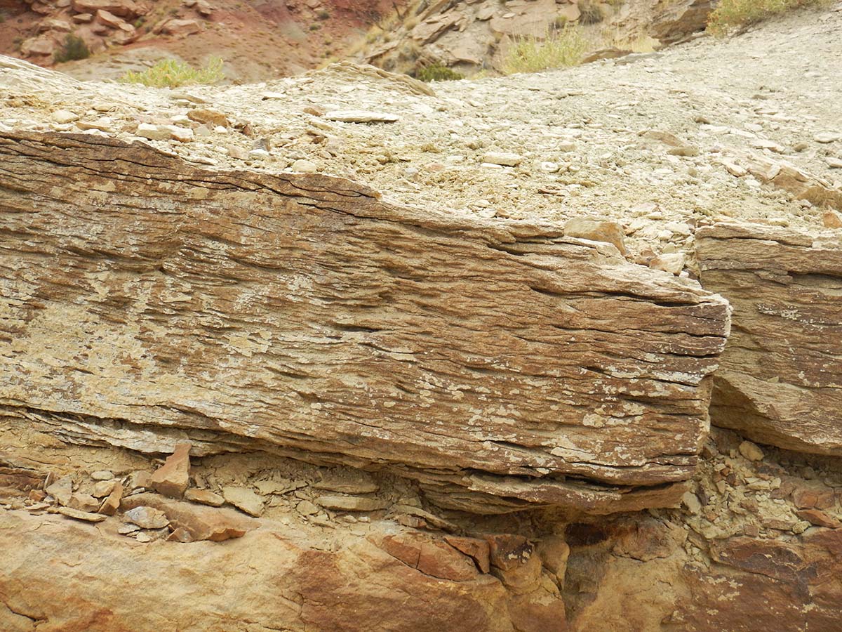 |
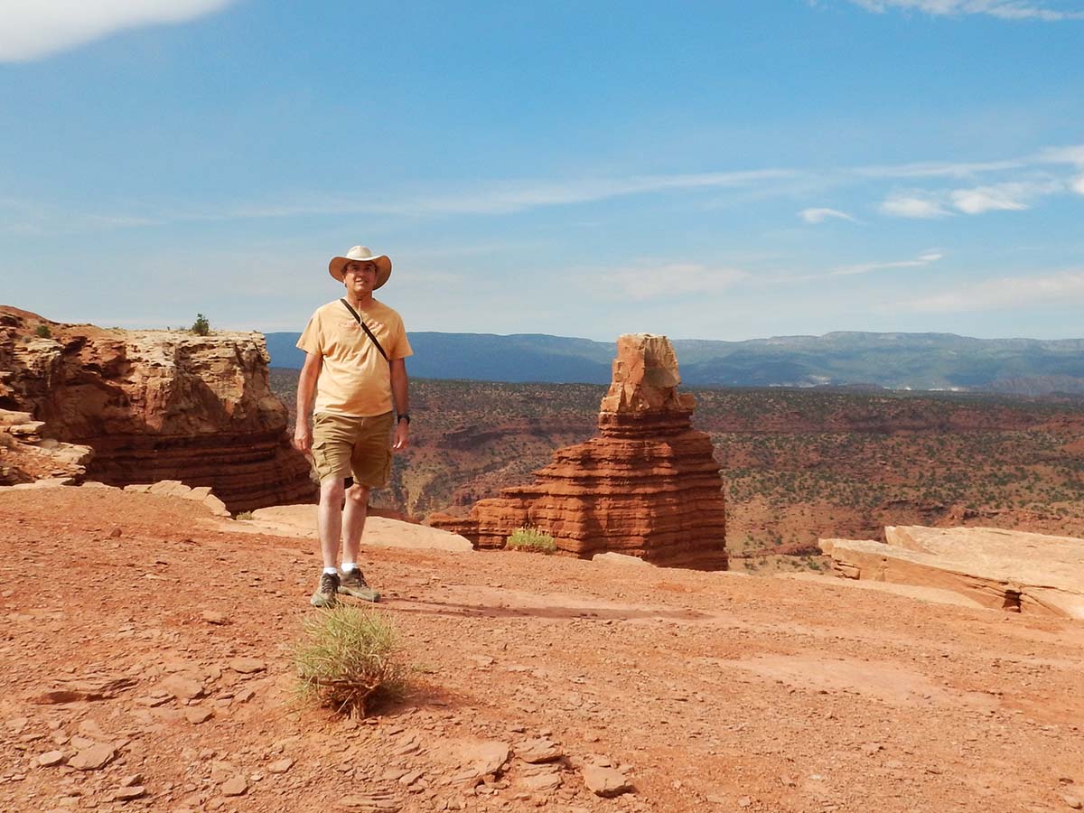 |
Here I am at the overlook of Chimney Rock from atop the plateau (with that too-small water bottle hanging from its shoulder strap. |
 |
 |
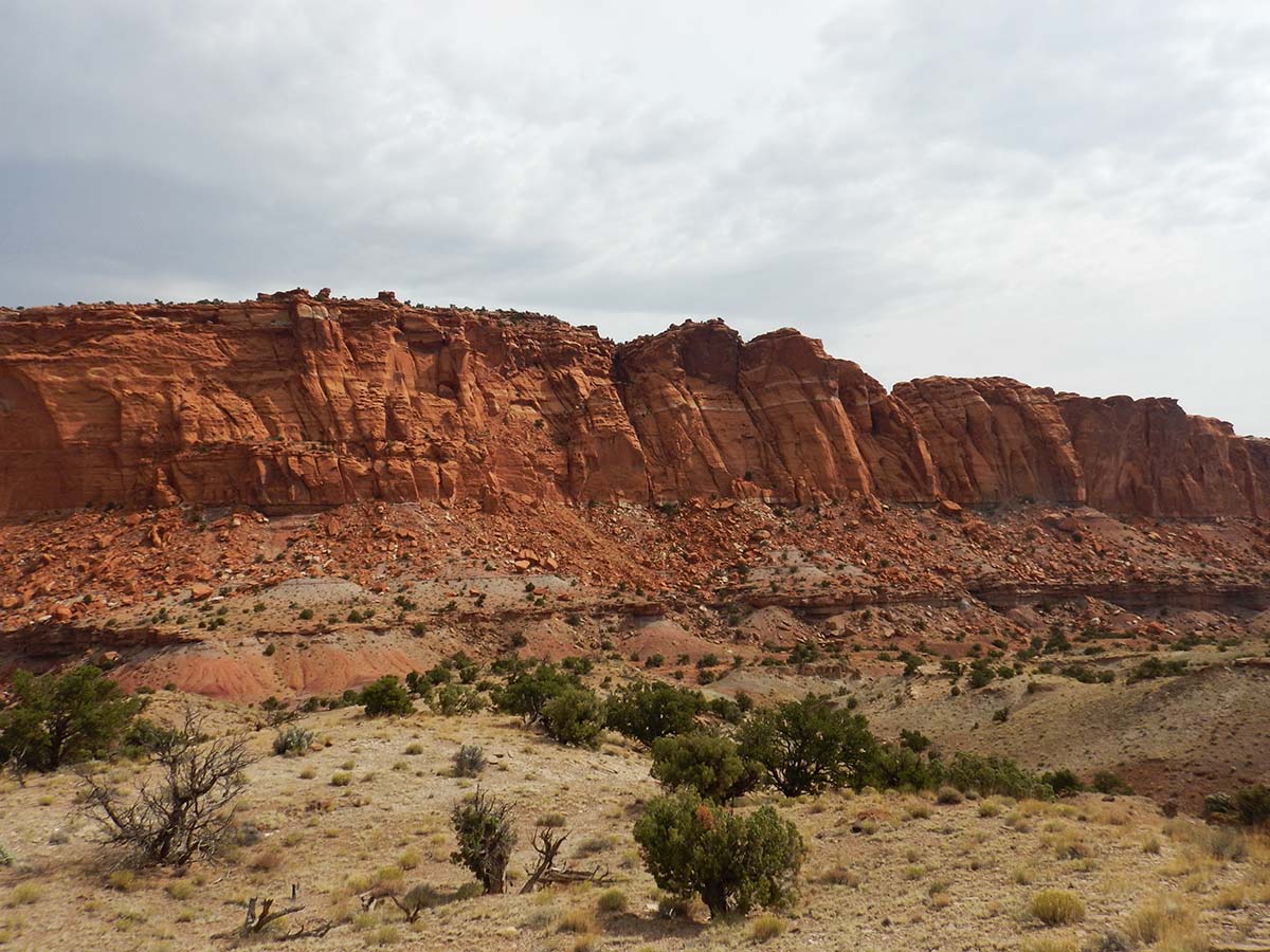 |
Imagine you’re a settler in the nineteenth century, trying to go west. You’ve journeyed a long, hard way by horse-drawn wagon, and then you suddenly find this blocking your path, extending for a hundred miles in either direction. |
| Could this be a way through? No. The wall of the “Waterpocket Fold” has many of these seeming passes, but they all end up dead ends except for one, Capitol Gorge, which remained the only way through until the construction of the modern highway 24 in the 20th century. I’ll be having a look at Capitol Gorge later in the day. | 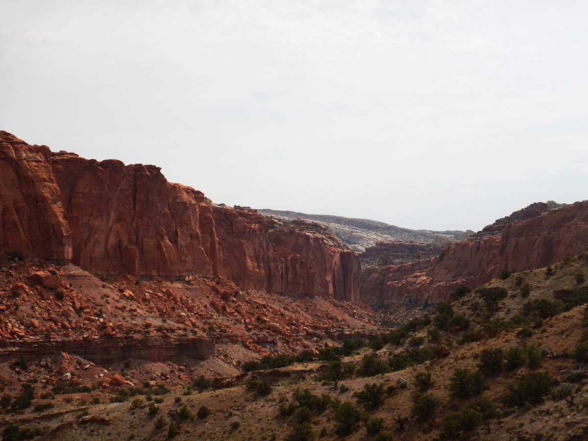 |
 |
 |
 |
More of the fantastical ways erosion shapes the different sedimentary layers exposed here. |
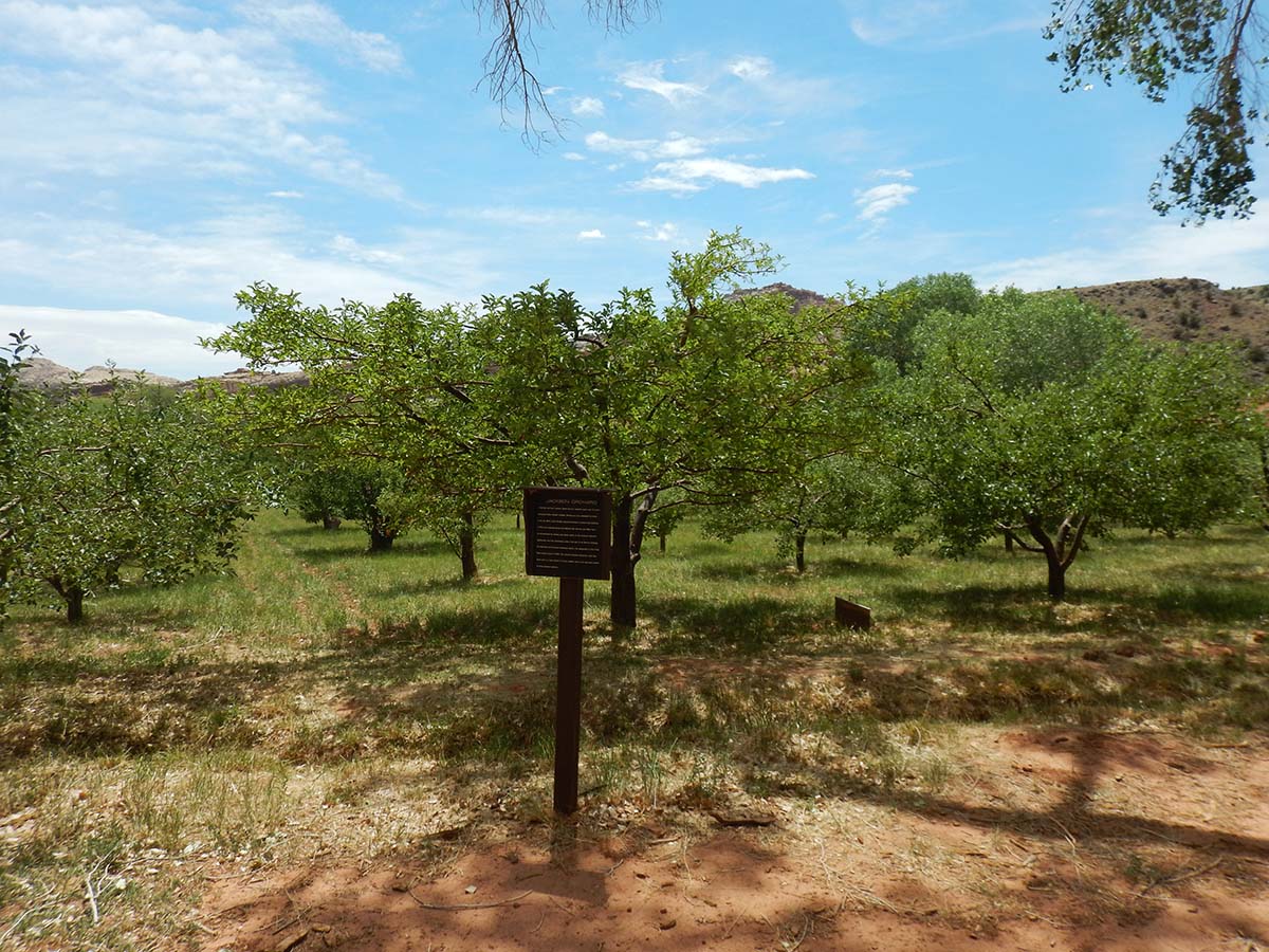 After finishing the Chimney Rock hike (and chugging a lot of Gatorade) I drove on to the Fremont Basin, where the Fremont river creates an oasis in the desert. Settlers farmed here until the area became a National Monument, and then a National Park, in the 1940s. The farming settlement was declared a historical landmark, so instead of letting it return to nature, Rangers maintain the farmhouses and buildings exactly as they were, and even tend the fruit orchards, carefully using only the techniques used back when the farms were active.
Visitors are allowed to pick fruit from the trees, and all you can eat on site is free (but you have to pay for any you carry out with you). Unfortunately it’s not harvest season and there was no ripe fruit to pick on my visit. But the Fremont Basin has picnic tables as well as farm buildings, and I had lunch here.
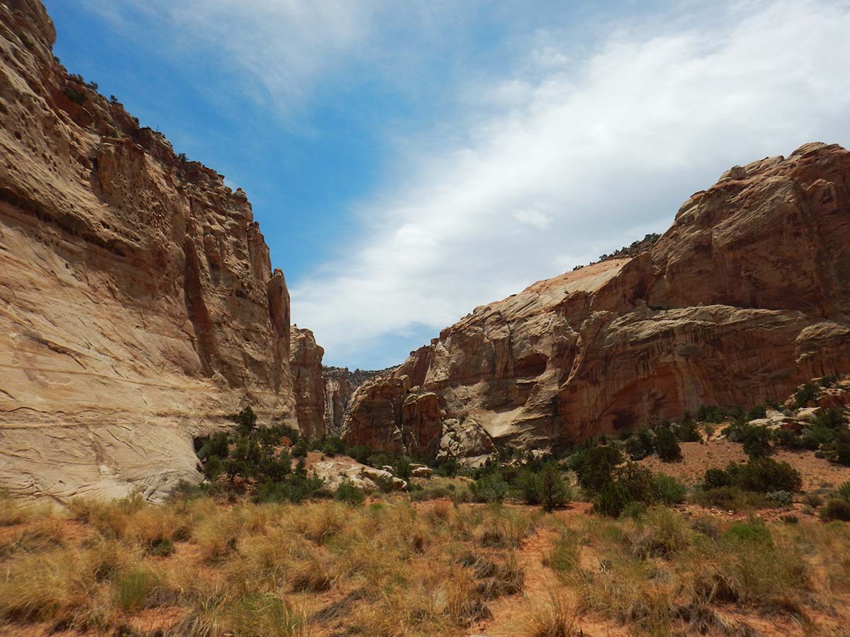
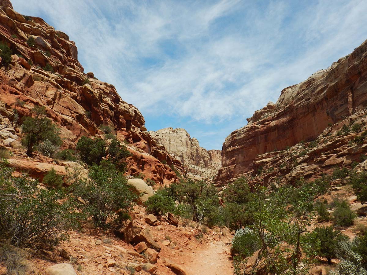
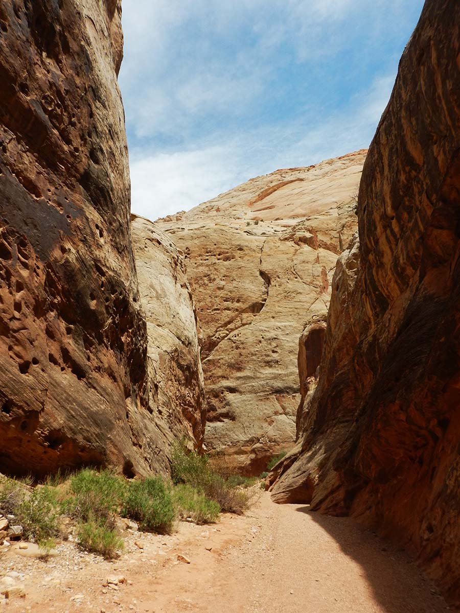
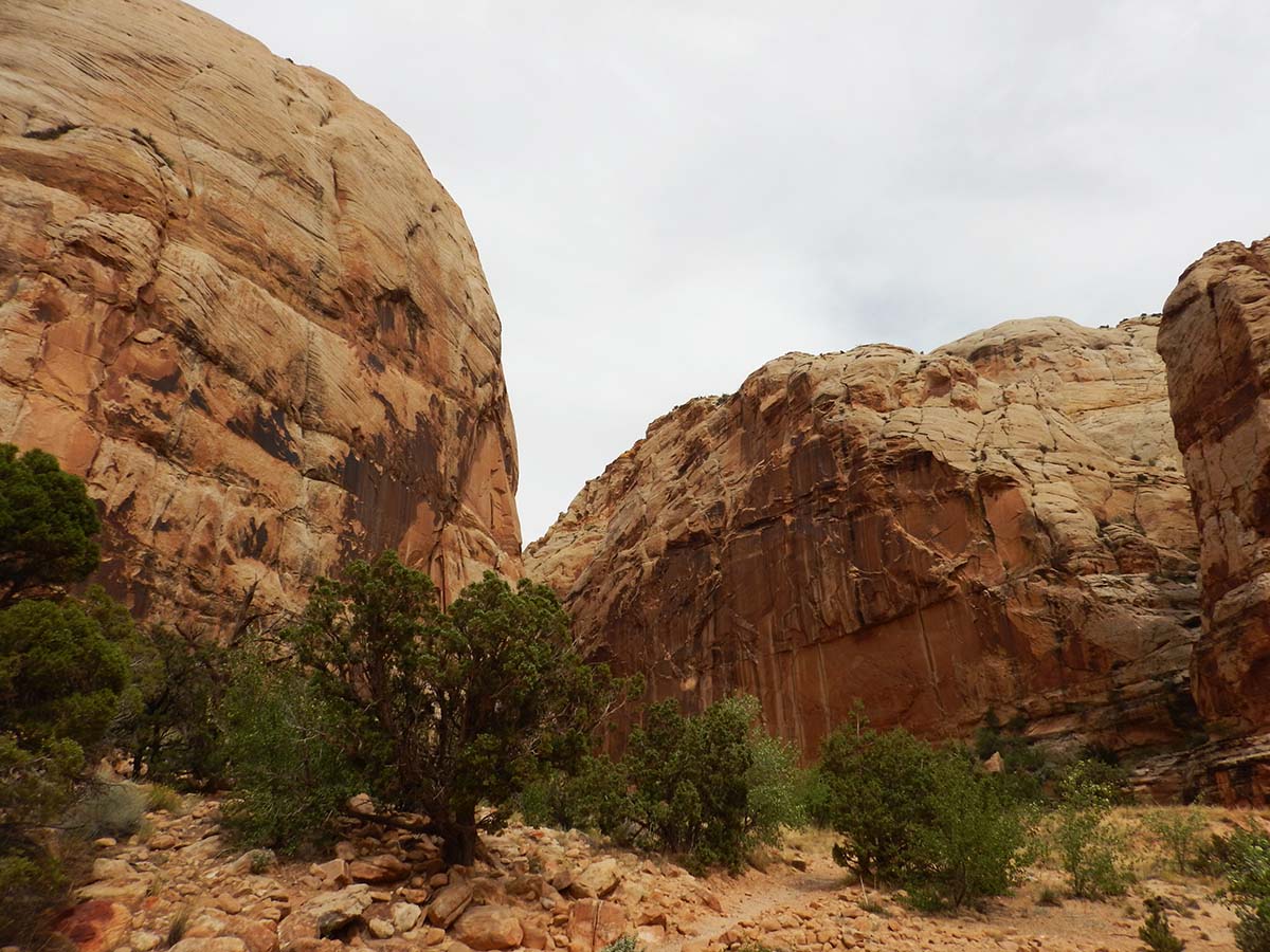
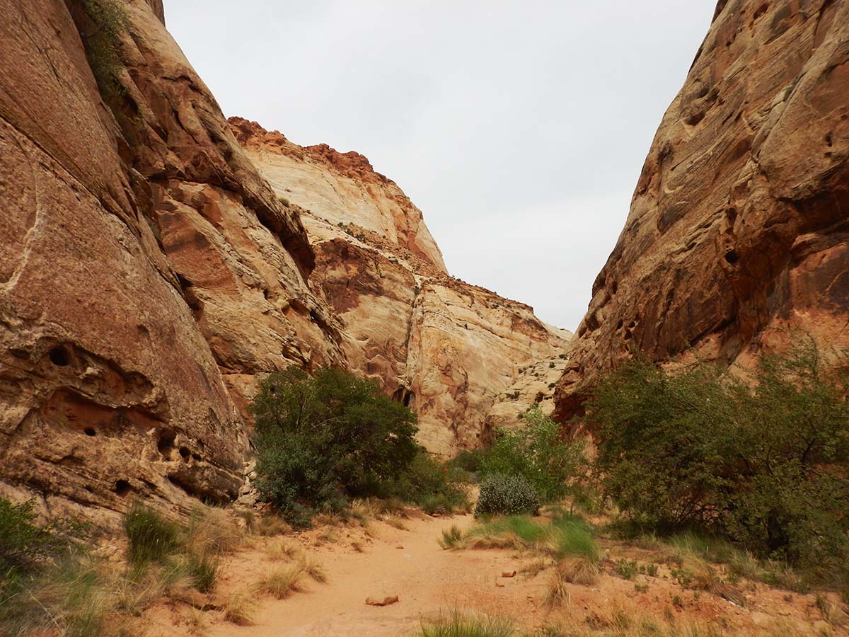
My second planned hike was called “The Narrows,” a nicely flat and level trail leading into a canyon called the Grand Wash. What looks like a dry riverbed actually carries water whenever it rains— in fact flash floods rush down it at such times. Signs at the trailhead warned not to take the trail if there were storms in the area. It would be ironic if I went from one hike with not enough water to another with too much; but the afternoon clouds hadn’t shown up yet and the forecast said no storms today, so I set out. This was a busy trail, I passed lots of people coming and going.
 |
 |
 |
 |
Above, more of the fantastical work of erosion.
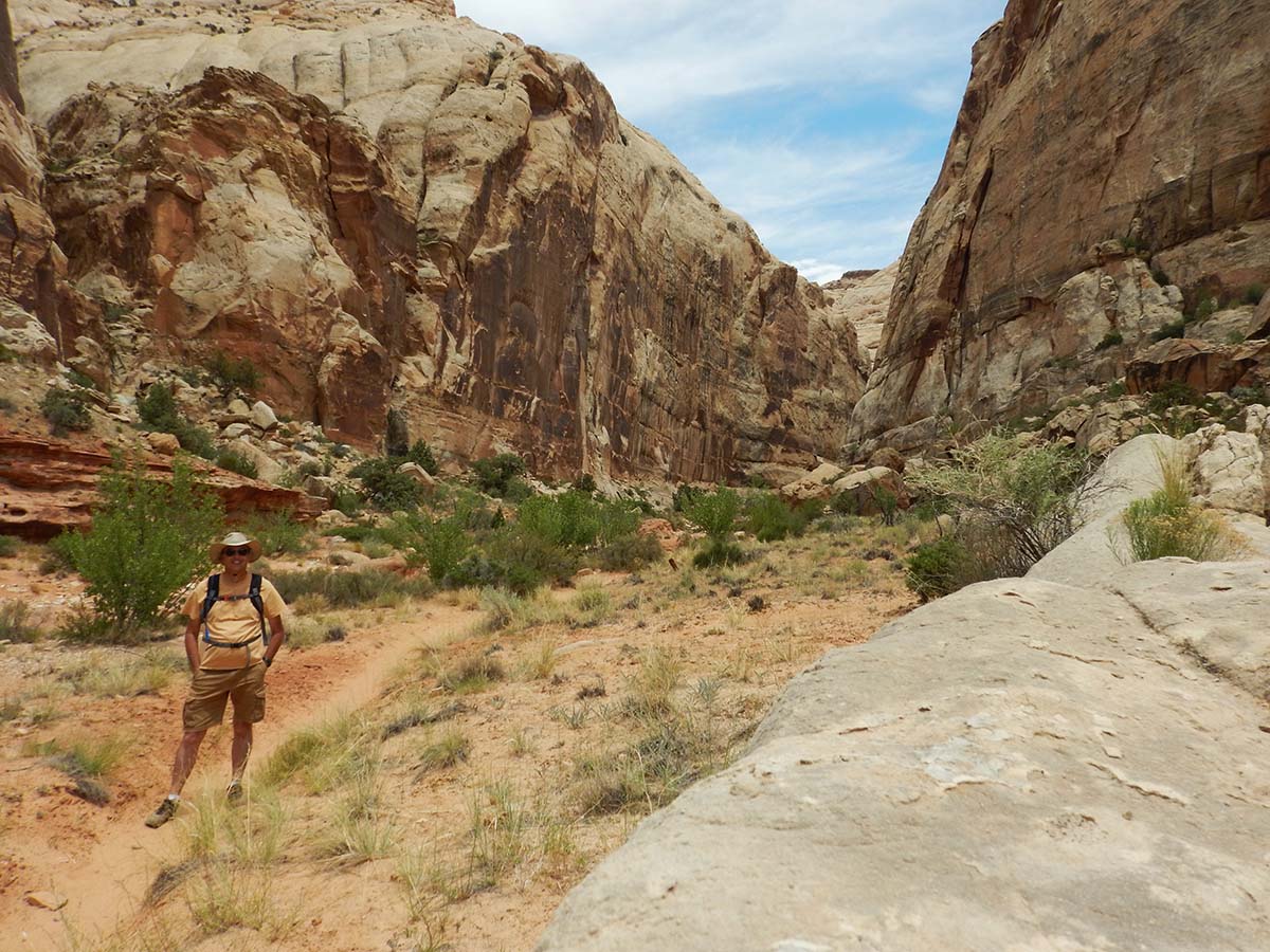 |
Here I am (wearing my Camelbak!) just outside where the canyon starts to narrow down, giving it the name “The Narrows.” |
 |
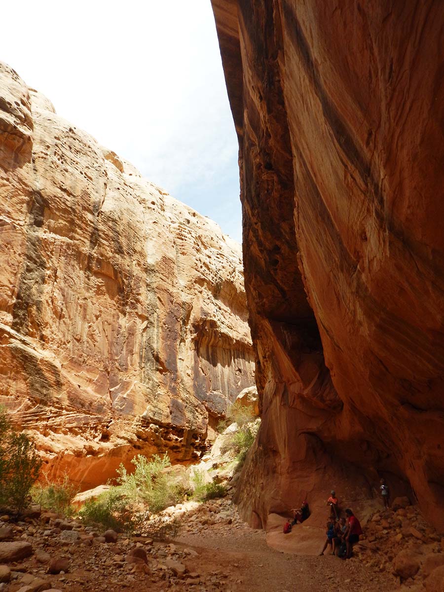 |
After completing the Narrows trail, my planned third hike would be at Capitol Gorge. Today. from the end of the park’s scenic drive a dirt road goes into the gorge partway, ending at a trailhead. Only a hiking trail now continues on into what was once the only route through Capitol Reef. A ways down the trail, nineteenth century pioneers carved their names in the canyon wall. My original plan was to hike to that point, then return.
But I decided I was all hiked out for the day. I drove to the trailhead and looked around that area, but that was all.
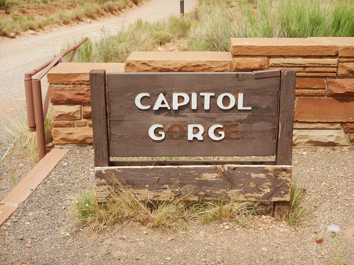 |
The sign needs repair. |
 |
 |
| After driving as far down Capitol Gorge as possible, and looking around for a while at the trailhead where the road ends, my day in Capitol Reef National Park was done. | 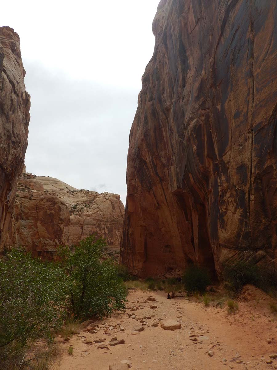 |
Tomorrow I drive over to Moab, Utah, just outside Arches National Park, with Canyonlands National Park right next to it. I’ll be there for several days, exploring both parks.
Trip Report
Miles driven today: 46.4
Total miles so far: 3689.5
