
Day Twenty-one: June 30
I did manage to get into Arches National Park this morning. For future reference, a quarter to eight in the morning is early enough, at least this year.
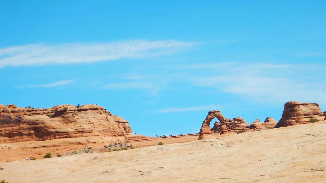 I was here on my 2015 road trip and while I’ll revisit the main “sights” I’m not planning to redo particular hikes I did then, except one: the hike to Delicate Arch. This arch is the icon for the park, and indeed for the state: Utah puts a picture of it on its license plates. You can see a distant view of it from an overlook point (shown) but can only get a closer look by way of a 1.5-mile-long hiking trail (3 miles round trip).
Since Delicate Arch is so famous, this hike is extremely popular and even the large parking lot at the trailhead fills up early. So I headed straight there, skipping past scenic spots I’d otherwise stop to look at (I’ll go back and “collect” them later). It makes better storytelling for the blog if the first arch I get a good look at is the arch in any case!
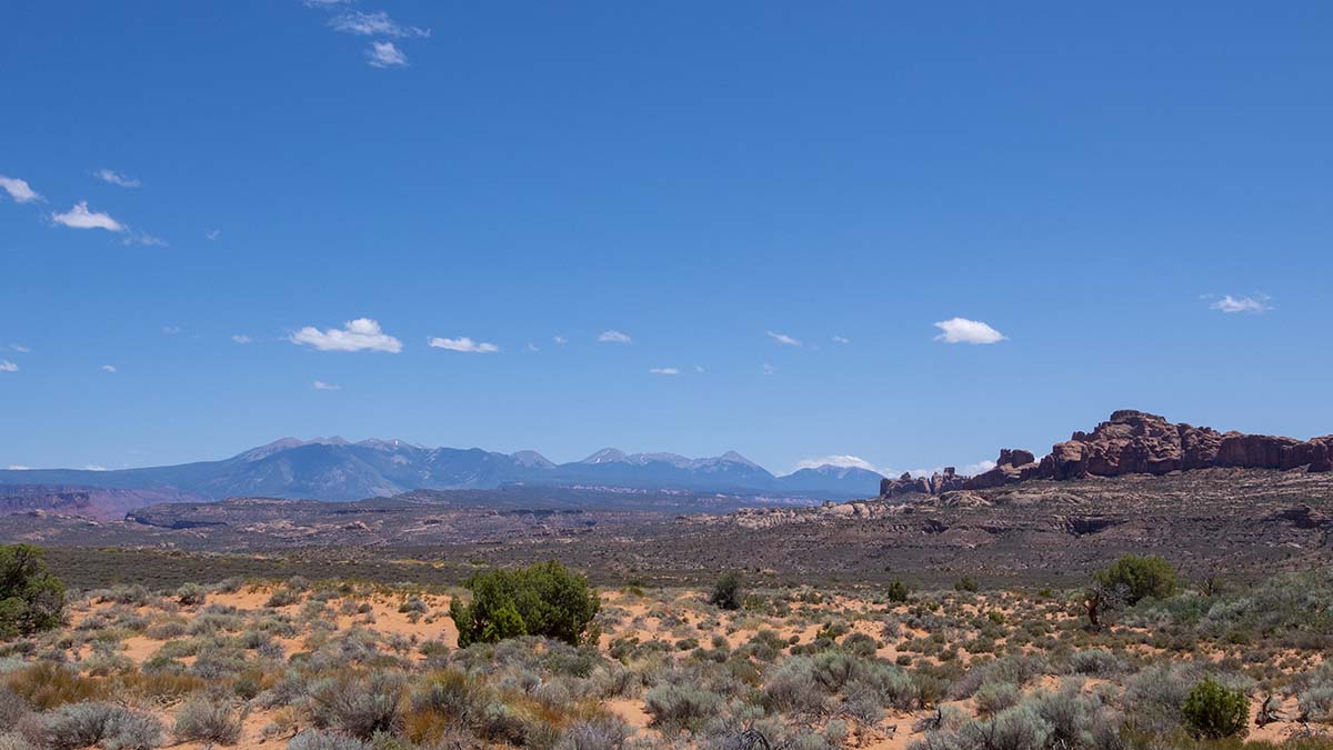
A word about how arches form and why Arches National Park has so many of them. They’re found here and there elsewhere (such as the Natural Bridge at Bryce Canyon I posted a picture of a few days ago) but Arches National Park has over two thousand of them.
 Any slight depression in a vertical rock face creates a wind eddy that causes erosion to start digging the depression deeper. That’s why cliffs have so many shallow “caves,” natural amphitheaters, and bays in them. If the rock face happens to be a narrow, vertical “fin” then such a depression can end up poking all the way through, creating an arch.
The easily-eroded sandstone of Arches National Park lies over an enormous salt deposit left behind by the inland sea 200 million years ago. Under pressure, the salt flows like a glacier, and this caused vertical fractures in the layers above, which let water seep in and start the process of erosion. The water also dissolved some of the salt, causing subsidence so that parts of the sandstone shifted downward while others remained.
The result is a landscape densely crowded with the sort of vertical fins needed for arches to form. So that’s why this area has so many. There are some other contributing factors, but I’ll refer you to the park’s own website for more.
Now on to my hike to Delicate Arch:
The trailhead begins at the Wolfe Ranch. John Wolfe, a Civil War veteran from Ohio, moved here in the late nineteenth century believing he needed a drier climate to heal his lingering war injuries. He built a cabin and a corral in Salt Valley, where enough water collected to create a small oasis. After some years, his daughter and her new husband joined him. She was so appalled by the conditions that she insisted he build a new and better cabin.
| This is the new cabin. Which really makes you wonder what the first one was like. | 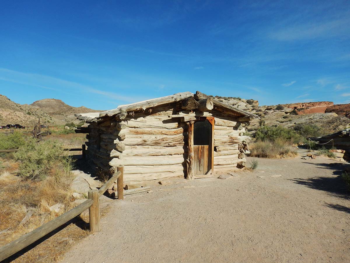 |
 |
The trail next leads past a small petroglyph site, this one carved by the Ute tribe sometime between 1650 and 1750. |
| A long part of the trail’s length is spent climbing this bare rock hill, made of a much harder rock than the red sandstone. Its smooth surface and hardness made it difficult for horse’s hooves to get a grip on it, so early settlers called it “slickrock.” How big is this hill of it? Look close at the full-size picture: those little specks are people. | 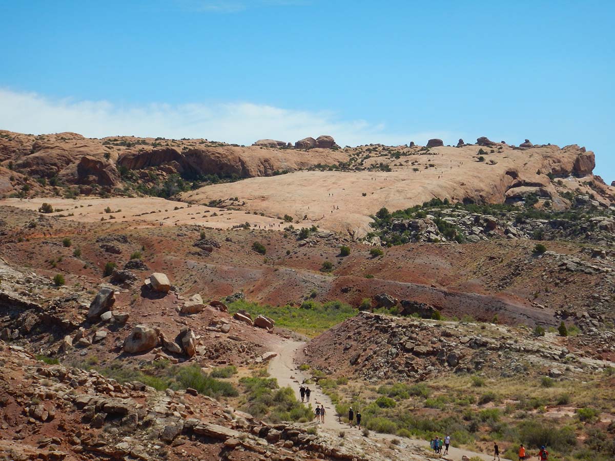 |
 |
Here’s that hill as the trail reaches the base of it. |
| As I mentioned, this is a very popular trail. |  |
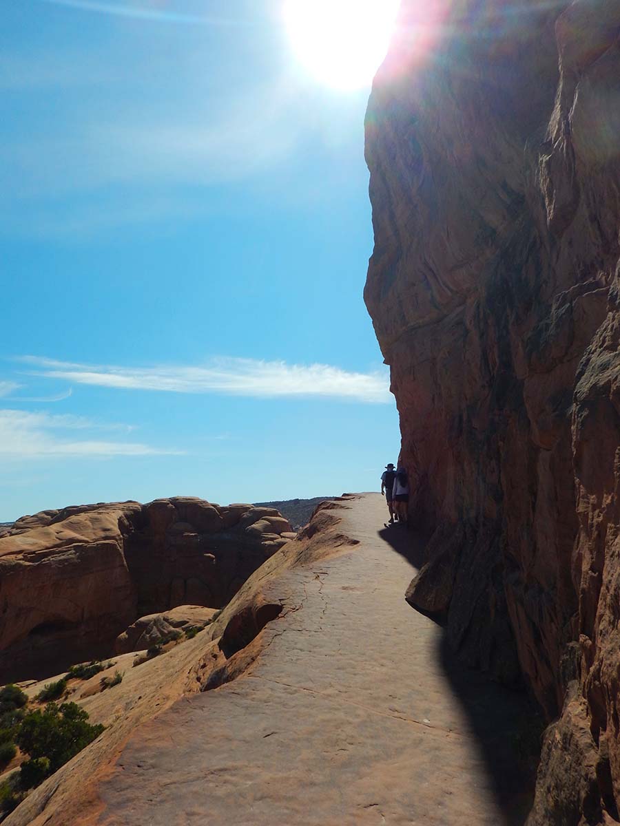 |
It is also, at some points, a scary trail. The picture somehow makes it look like there’s a slop on the left, but that’s a sheer drop of a hundred feet or so. |
But then at last you come to Delicate Arch.
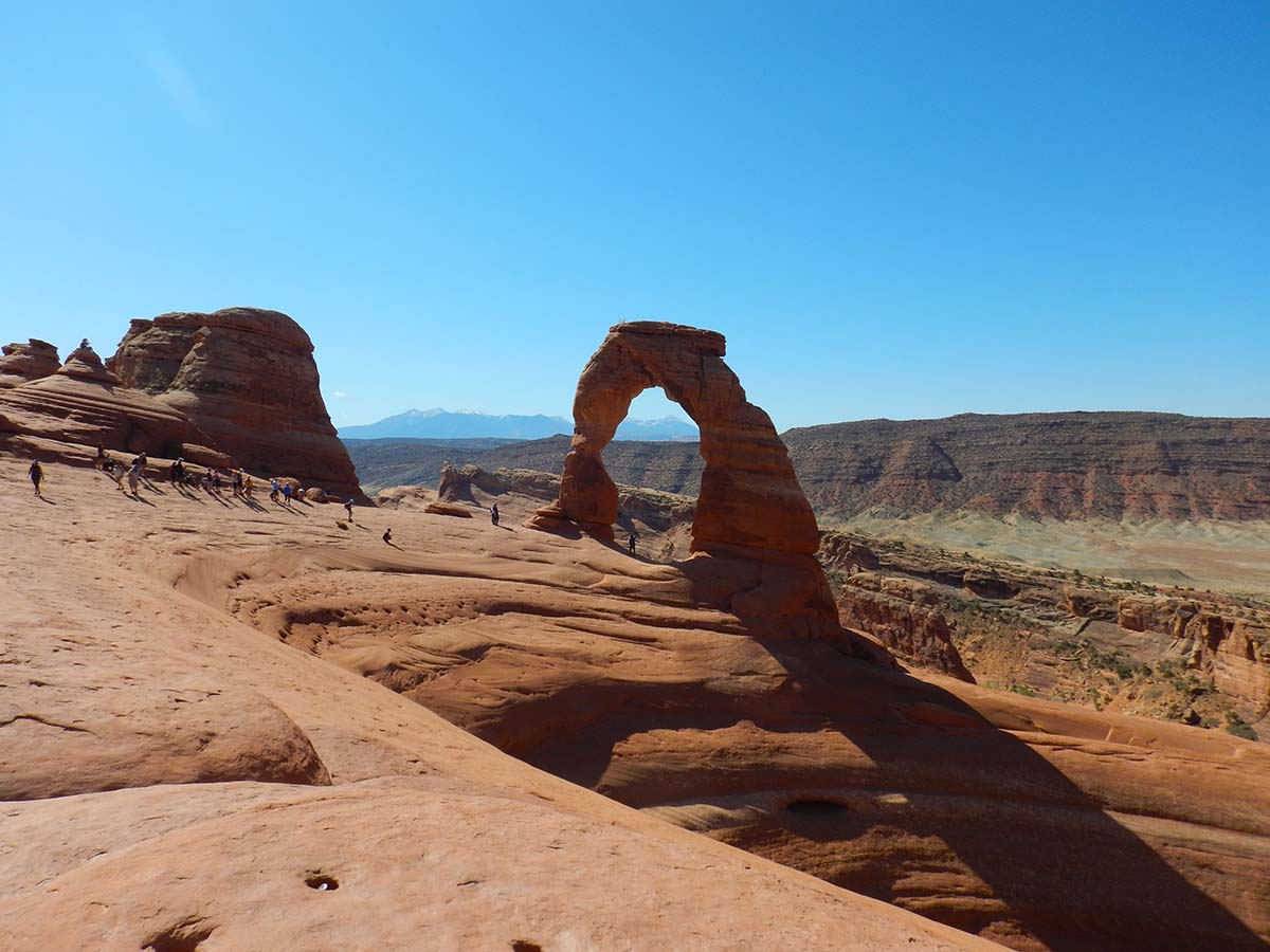
| While Delicate Arch is its name on the maps, early settlers in the region also called it “The Cowboy Boots” and “Matron’s Bloomers” (which must have seemed quite risque in the 19th century). |  |
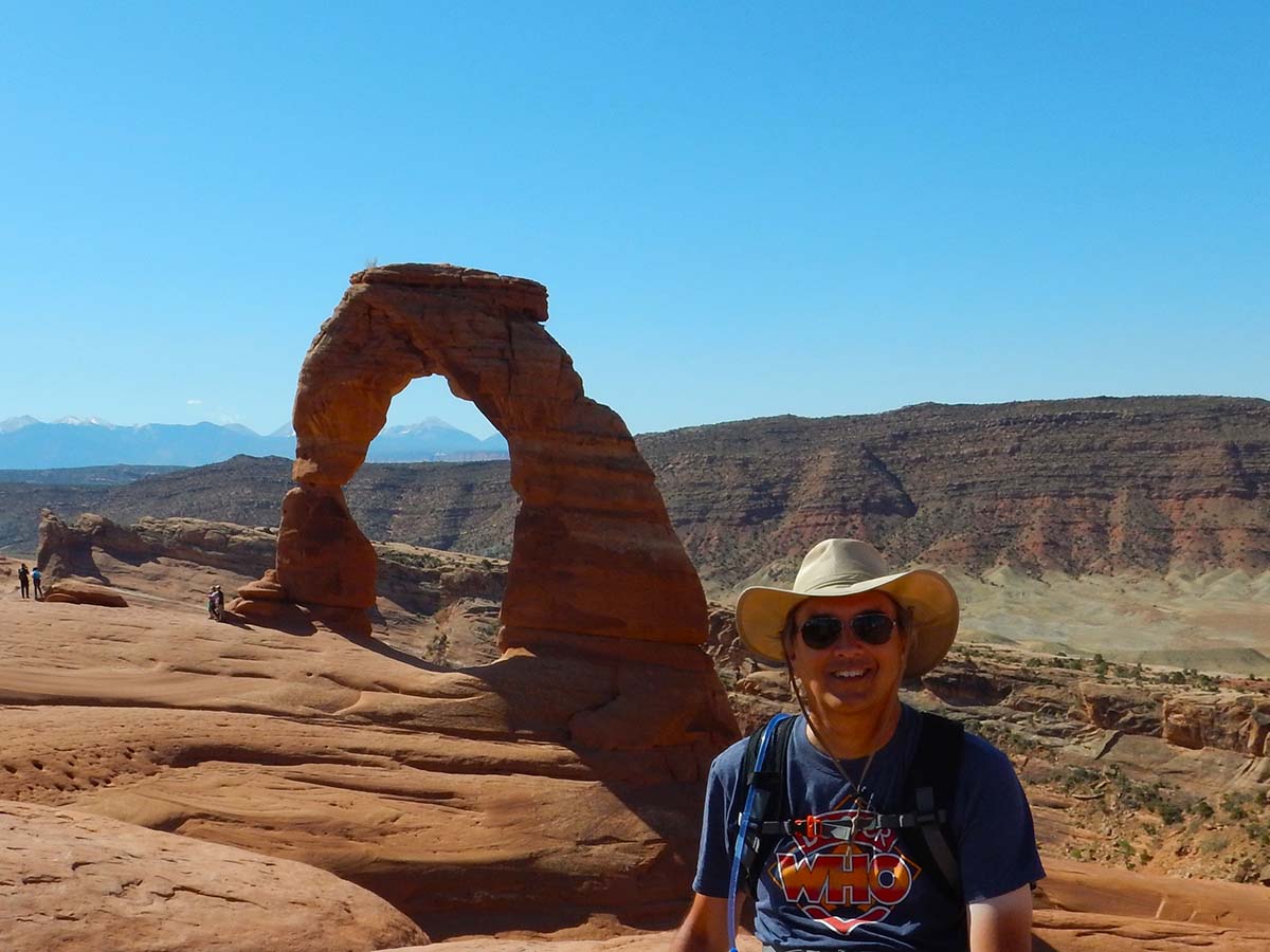
Yes, I’m wearing the Camelbak. Lesson learned.
My morning’s hike completed, I drove on along the park road, now stopping for the scenic spots. Some photos:
 |
 |
 |
This is an area called the “Fiery Furnace”— not because it’s hot, it’s actually an area of narrow canyons that stay cool and shady all day, but because the afternoon sun lights it all up bright orange. I wasn’t there at the right time of day to see it at its best. |
Incidentally, the reason all these sandstone rocks are so red, as I’ve seen here and at Bryce and at Capitol Reef (and found all over the region) is that there’s a high percentage of iron in the sandstone. Not enough to be considered iron ore by any means, but enough to color the rock when it’s exposed to air and the iron oxidizes. In other words, these rocks are red because they’re rusted.
 |
 |
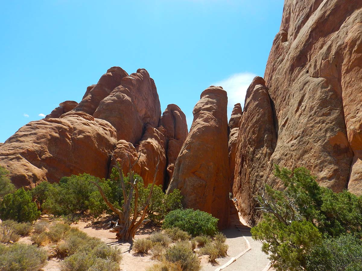
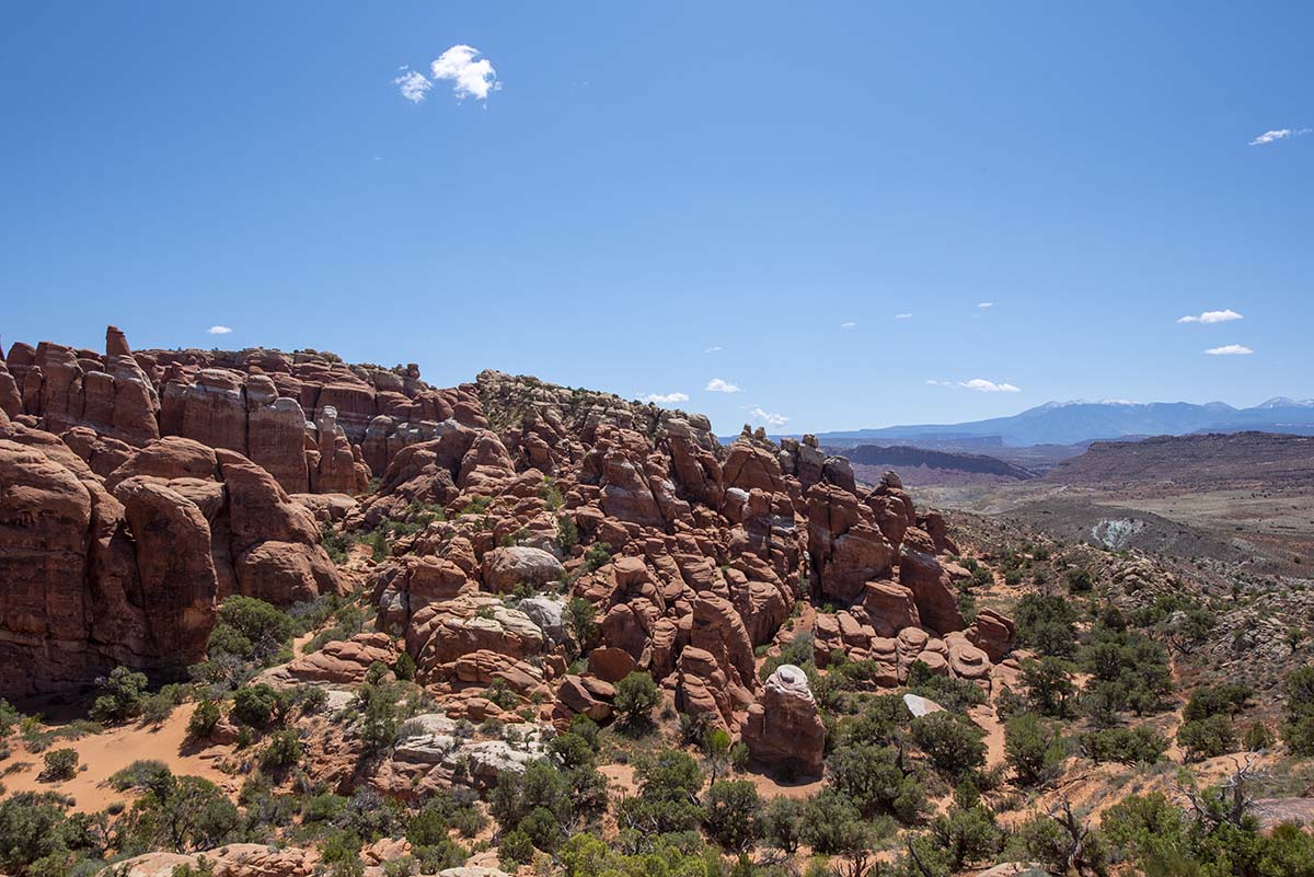
| The park road ends at an area called the Devil’s Garden, where a set of trails lead to a number of prominent arches. | 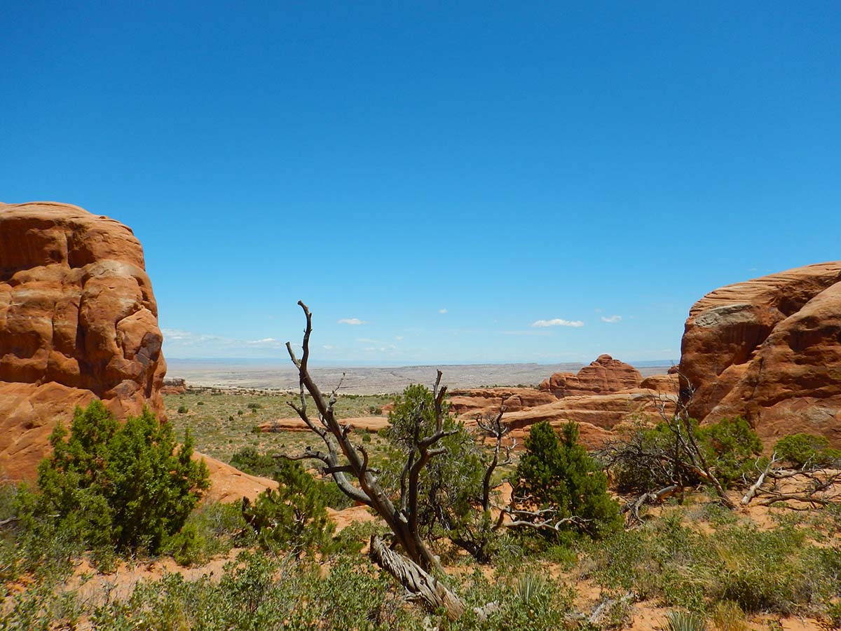 |
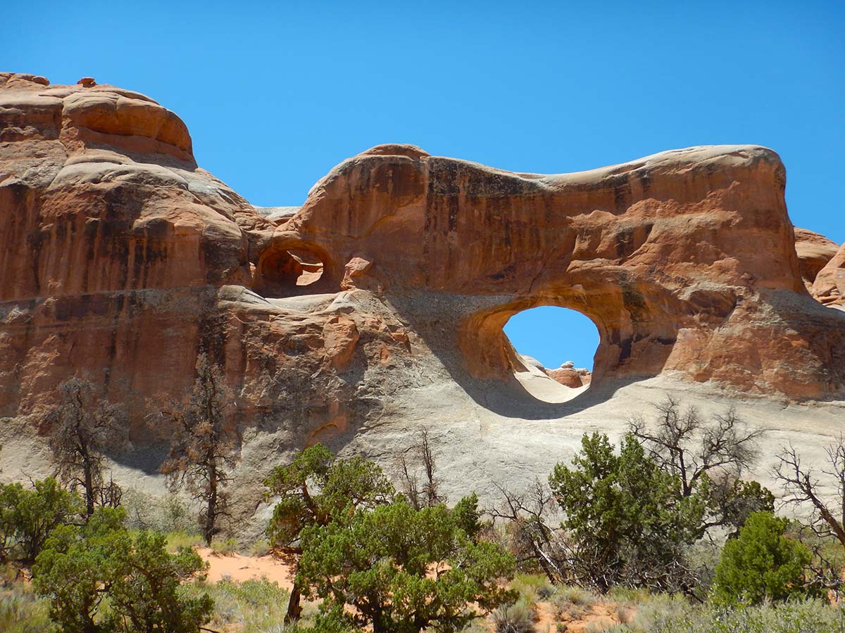 |
Tunnel Arch (with a smaller arch beside it). |
| Pine Tree Arch. |  |
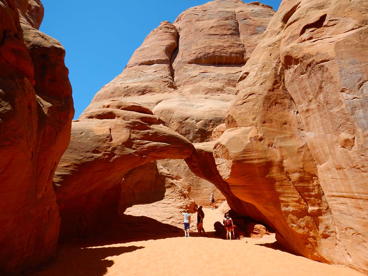 |
Sand Dune Arch. |
And finally to Landscape Arch, with a 300-foot span the longest arch in the park (and if I recall correctly, the longest natural span in the world— though I may be misremembering that).

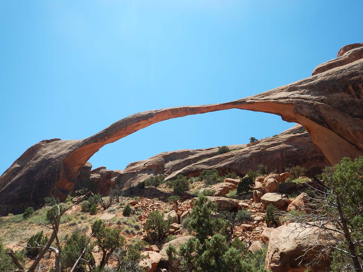 |
There used to be a trail right up under Landscape Arch, but on September 1, 1991, a 60-foot section of rock fell loose from under its right side, narrowly missing visitors who were there at the time. The fall left the very narrow remaining span of rock on the right. On the geological time scale, Landscape Arch is in the process of falling down now. On the human time scale, there’s no telling when it might go. So the trail underneath it remains closed. |
I hung around a few minutes to see if it would finally fall while I was watching, but it didn’t.
My third and final destination of the day was an area called the Windows, and a short walk (can’t really call it a hike) to another set of arches.
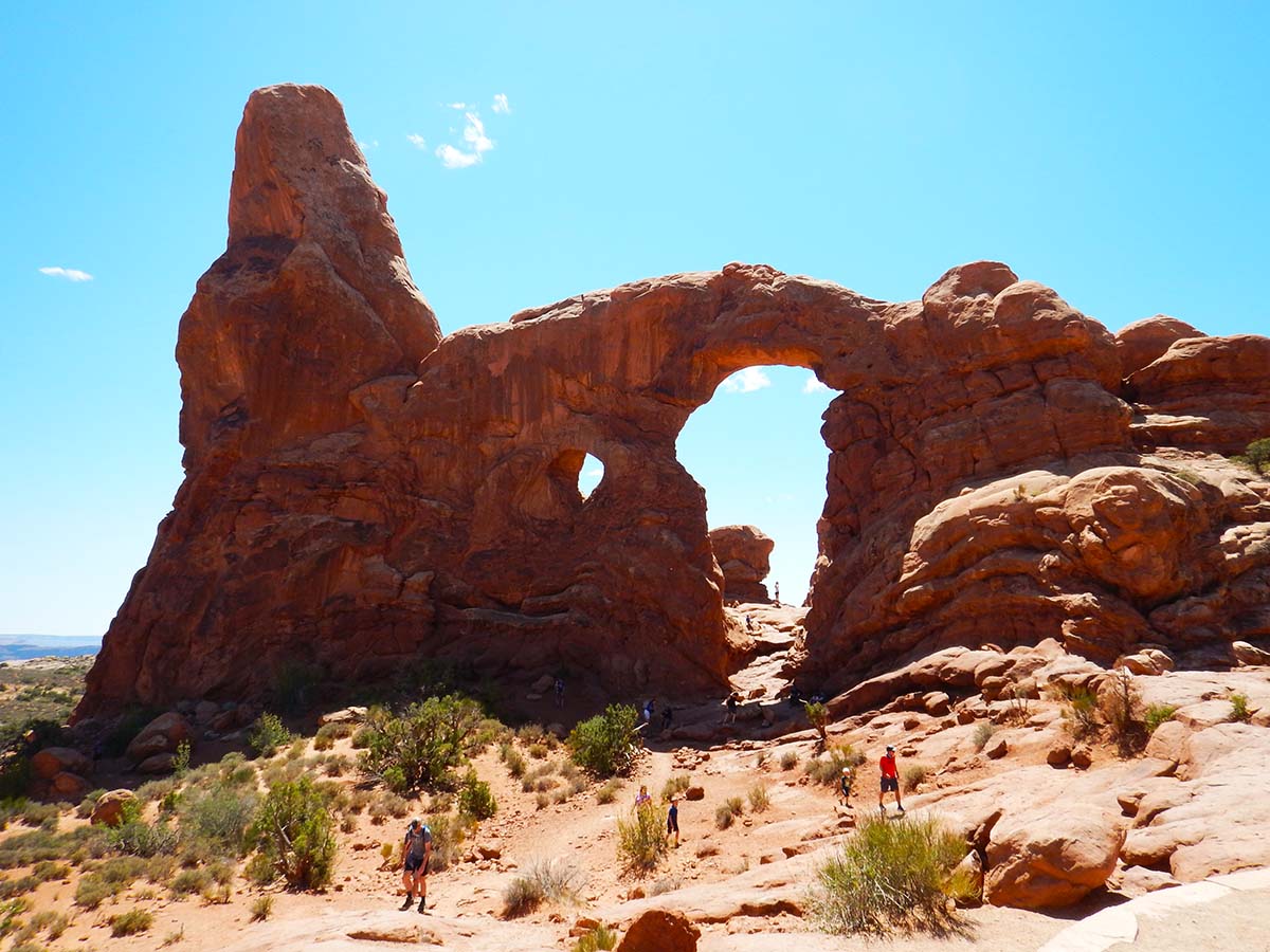 |
Turret Arch. |
| North and South Windows. | 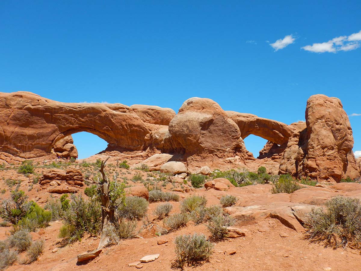 |
This mass of rock formations is called The Elephants— people see a herd of elephants in the shapes. Can you spot any? It’s pretty much a faces-in-the-clouds sort of thing.

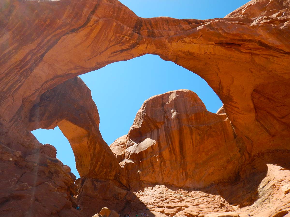 |
In among the Elephants is Double Arch: here, a thicker mass of rock had depressions eroding into it from either side, and both met a “pothole,” a depression eroding down from the top, resulting the double arch that’s here now. |
So that was my day at Arches National Park. Tomorrow my plan is to drive down to the Needles section of Canyonlands, then on my third day in this area I’ll come back to Arches and take in the scenic spots I skipped on the way to Delicate Arch this morning.
Trip Report:
Miles driven today: 68.6
Total miles so far: 4001.3
