Day Twenty-three: July 2
I’m posting early today, for two reasons.
First, I realized that over the time I’ve spent in this general area, with only short drives when I changed hotels, I haven’t had a day when I was off my feet for quite some time (earlier in the trip, drive days served that purpose). Actually, to be honest, I didn’t realize that directly. Instead my feet and legs said loudly “We don’t wanna hike today,” and I then figured out why. So after the morning’s sightseeing, rather than fill the afternoon with another hike I returned to my hotel for an afternoon of putting my feet up on cushions.
Second, I plan to be going out again later tonight, at the time I’d usually write my daily post. I’ve finally got a forecast for clear nighttime skies, and a park ranger gave me some tips on the best locations in Arches to photograph at sunset (when the light is just right on the formations) and then where to get the best night sky picture. So I’ll be going out to try it!
This morning I did exactly as planned. I went around to the scenic spots in Arches that I skipped two days ago. I followed up by hopping over to the Island in the Sky section of Canyonlands, to do the same thing there.
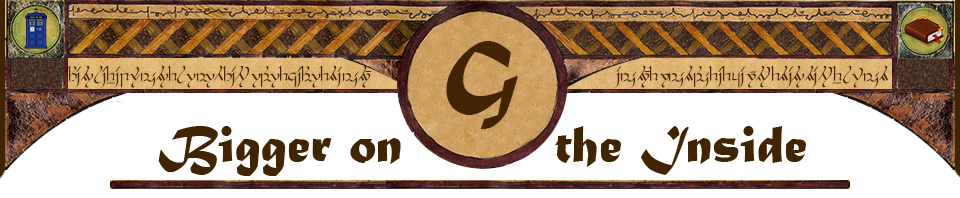
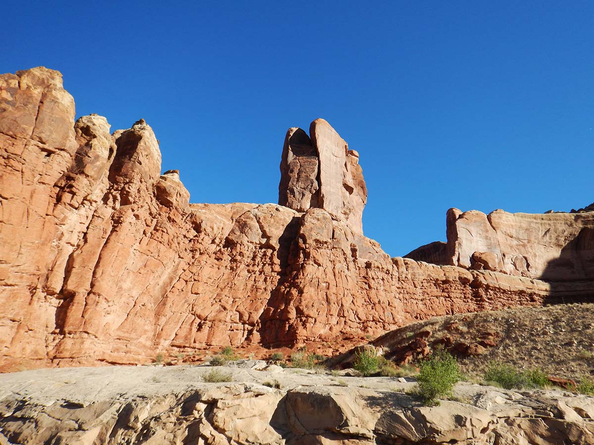
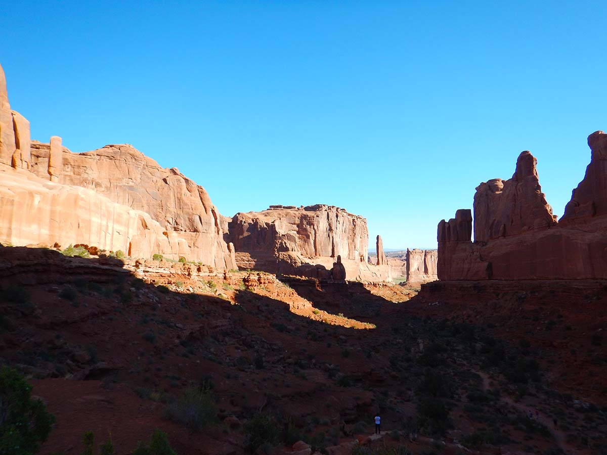 First up today was an area called “Park Avenue,” so named because it reminded settlers of New York’s skyscrapers. It looks like a canyon a river might have dug out, but it’s actually the space between two “fins” of rock. There’s a hiking trail that runs down it and out the other side; I followed it for about three quarters of a mile before heading back— so out-and-back I did get a 1.5 mile hike in this morning.
Here’s some of what I saw:
 |
 |
 |
 |
 |
Eventually the trail leads out from between the fins, and into open country.
Park Avenue is on my list of places to return to at sunset tonight, when the light will be on the opposite wall from the morning. |
Other sights along the way:
 |
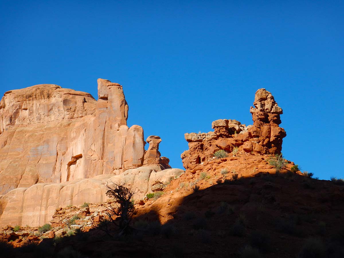
Courthouse Tower, looking properly intimidating with the morning sun behind it. |
| Sheep Rock, named because that’s supposed to look like a sheep on top of the formation to the right. But to me it looks more like a lion, facing left.
Geologists believe a double arch once connected sheep rock to the formation on the left, which eventually collapsed. |
 |
 |
Baby Arch, a tiny opening in the fin to the left of Sheep Rock. |
| The Three Gossips | 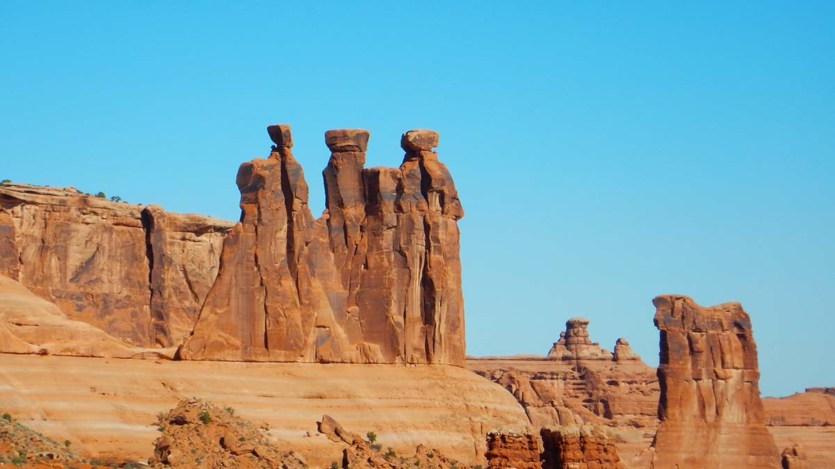 |
The above are all found in the Courthouse Tower area. Moving on from there, you come to Balanced Rock.
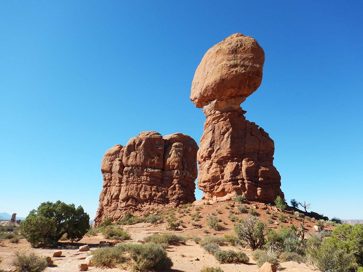
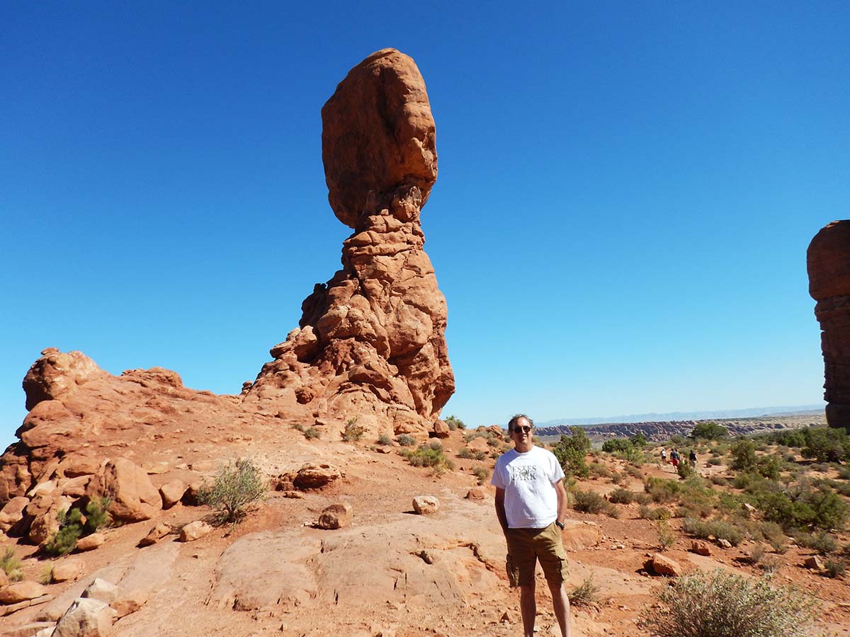 |
Balanced Rock used to have a smaller balanced rock next to it, called “Chip off the Old Block,” but it toppled in 1975. How long before Balanced Rock also falls? It will someday, but no knowing when. |
| Remember the picture from Zion National Park, of the unusual sediment patterns left behind by ancient sand dunes? Here’s that layer of petrified sand dunes on the surface. | 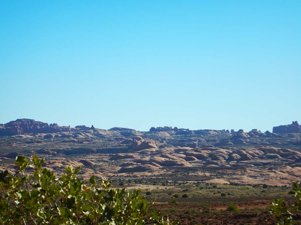 |
 |
Skyline Arch. While it’s erosion that creates arches, they are (on a geological time scale) unstable and sometimes sudden events contribute. In 1945 a huge boulder slid out of the left side of Skyine Arch, doubling the size of the opening. |
| The shattered boulder still lies at the foot of the cliff. | 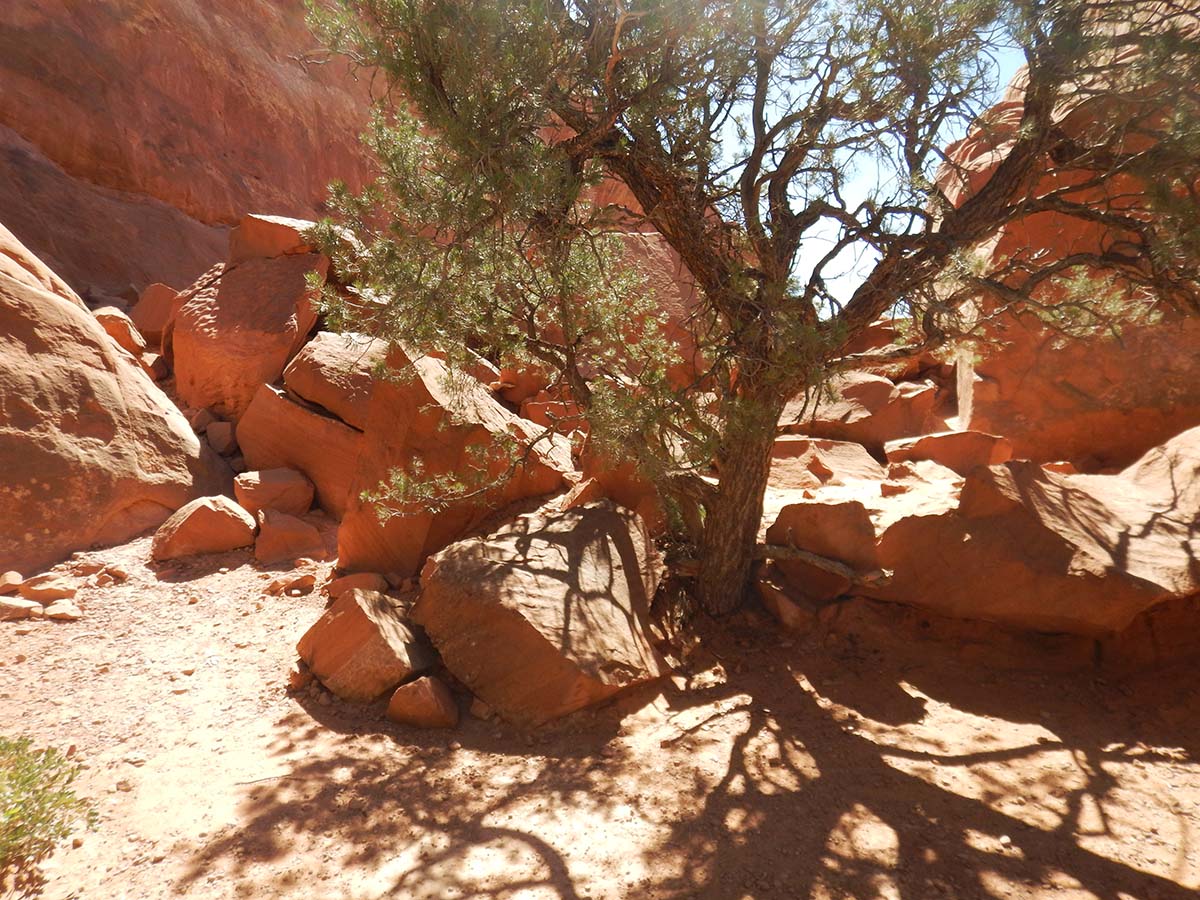 |
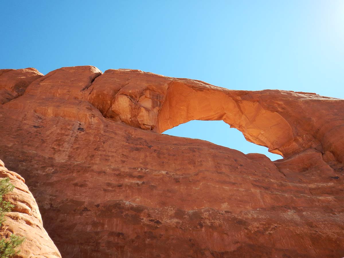 |
To me it looks like another large mass of rock, also on the left of the arch, is also ready to fall. |
After Skyline Arch, I drove over to Canyonlands and to a short (half mile one way) trail to a formation called Upheaval Dome. It’s actually a bowl, more or less. So why called it “Upheaval Dome?” Because the it’s so shattered, along with the rock layers around it, that it’s as if a rock dome were turned upside down, rather than erosion sculpting out a bowl.
 |
You can see the tilted and fractured layers along the trail. |
| Not a particular formation here, I was just really impressed by the colors at this spot: blue sky, green junipers, and red soil (which was even redder than the picture shows). | 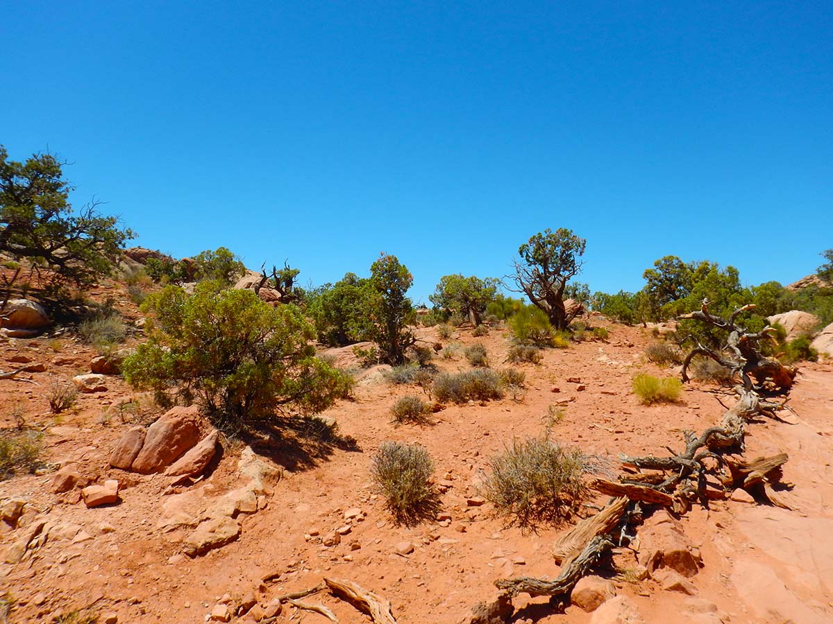 |
And here’s Upheaval Dome itself:
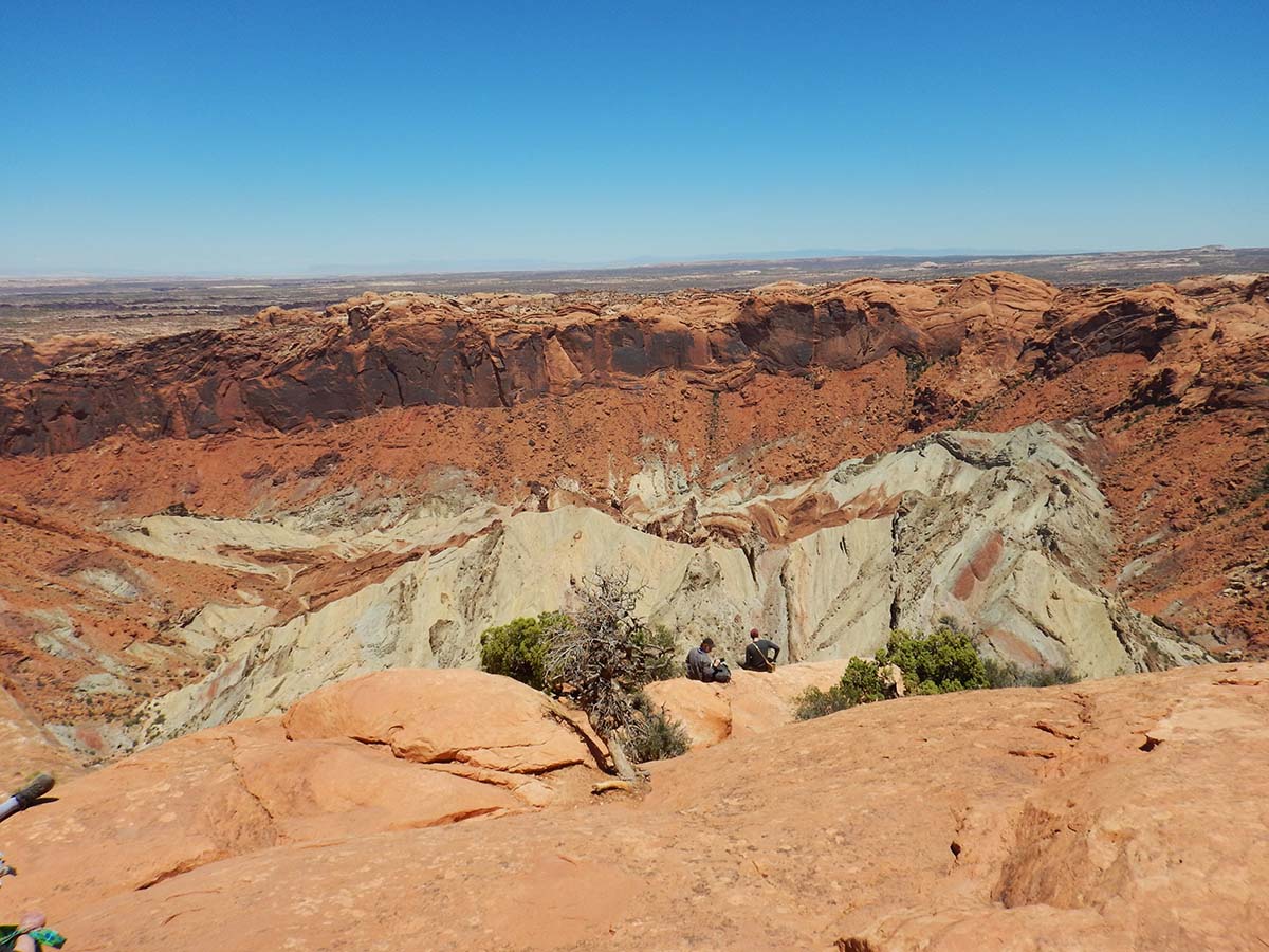
There are two hypotheses for how it formed:
First, a salt dome formed, pushing the rock layers upward around it (there’s a salt layer thousands of feet thick deeply buried beneath this area, left behind by the drying of the inland sea). Then ground water seeping through the fractured rock dissolved away the salt dome, so that the rocks collapsed down into the space.
Second, a meteor impact shattered the sediments, and this is the impact crater. The park service signs say the evidence currently favors the meteor hypothesis, but there remain questions and ambiguities. (I say: why not both? Maybe a meteor hit the exact spot where a salt dome had formed.)
Whatever formed it, Upheaval Dome is 200 million years old. Since it was formed, it’s been buried by later sediments, which then eroded away revealing it again— part of the reason why it’s not as clear-cut as crater as (for example) Meteor Crater in Arizona, which is far more recent.
This was the last stop on today’s abbreviated adventures. Tomorrow I drive on to Mesa Verde, which will be the last National Park on my trip. I’ll be staying in the lodge inside the park, which likely means that internet will be spotty to nonexistent; I’ll post the next journal entry tomorrow if I can, and if not then whenever I next have wi-fi.
I’ll also cover the results of tonight’s attempt at night sky photography in the next entry. Today’s trip report includes only driving miles today, I’ll add tonight’s mileage to the next total.
Trip Report:
Miles driven today: 122.4
Total miles so far: 4395.3
